Owl to Tenquille Traverse
Round 3 of the “Pines Pack v. Jones Jog” summer epic would take us north of Pemberton to a classic point to point that is often completed as a long run, but we opted for a leisurely 2 day walk to have time for summits and swims. This Rec Sites of BC site and managed trail extends from the Owl Lakes/Chain Lakes area off the north road to Anderson Lake, across a long alpine ridge that runs west parallel to the Pemberton Meadows Valley, finally descending to Lake Tenquille and on to the north terminus on the Hurley FSR.
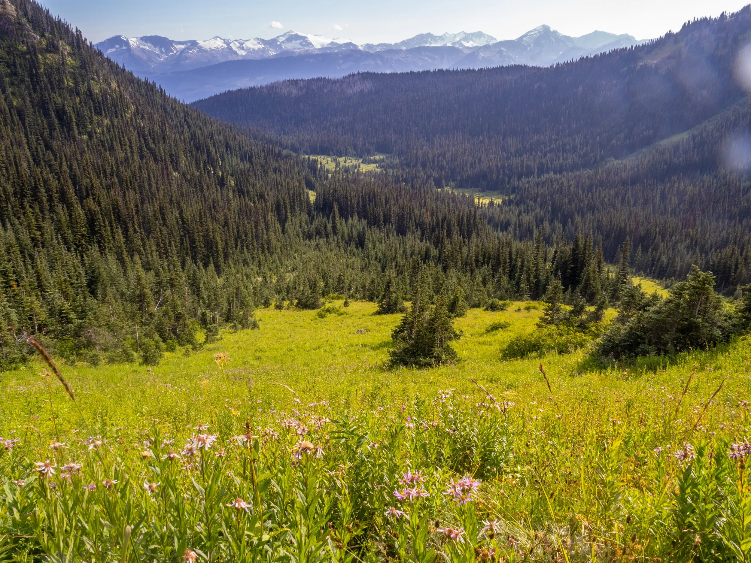
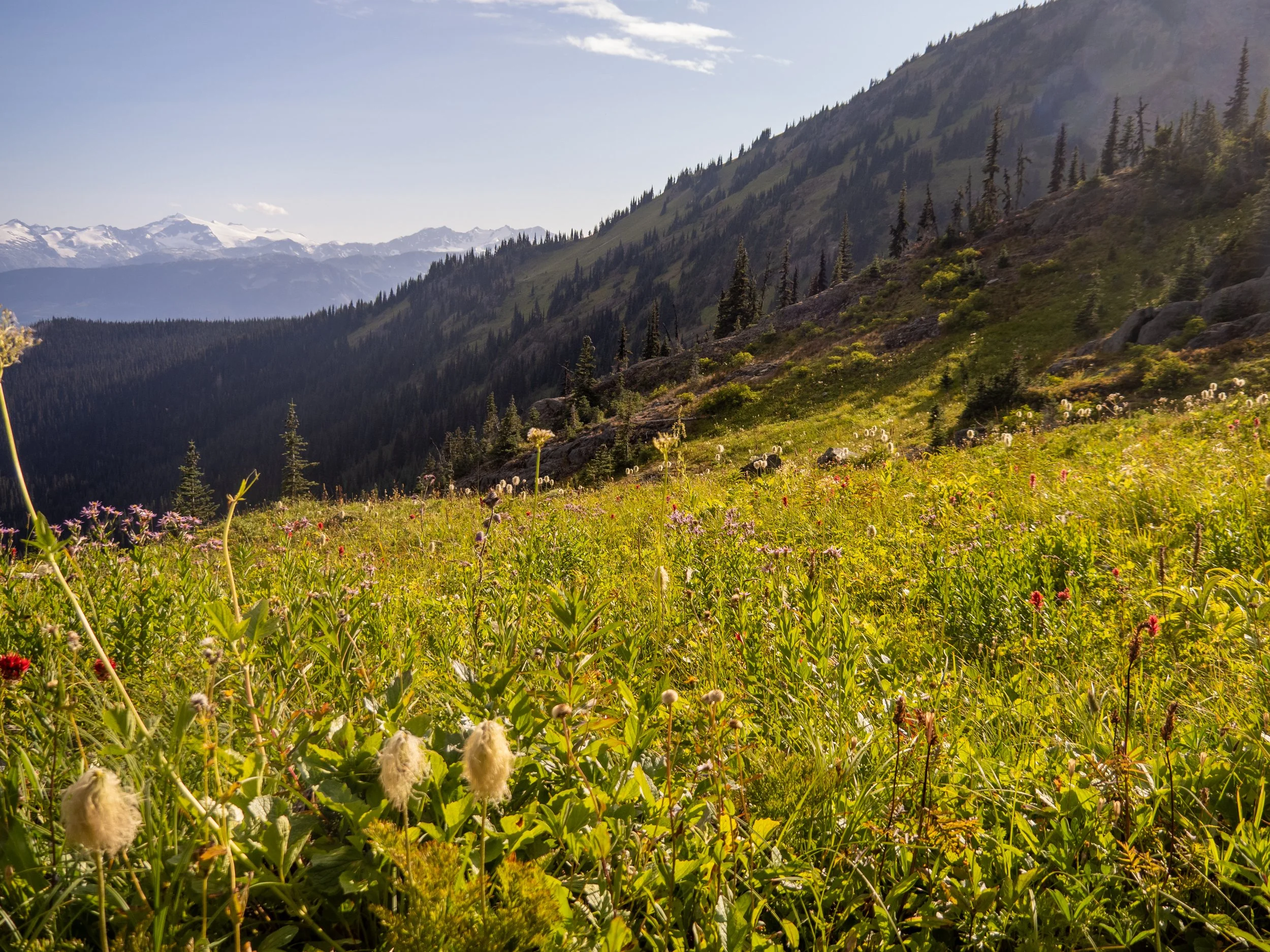
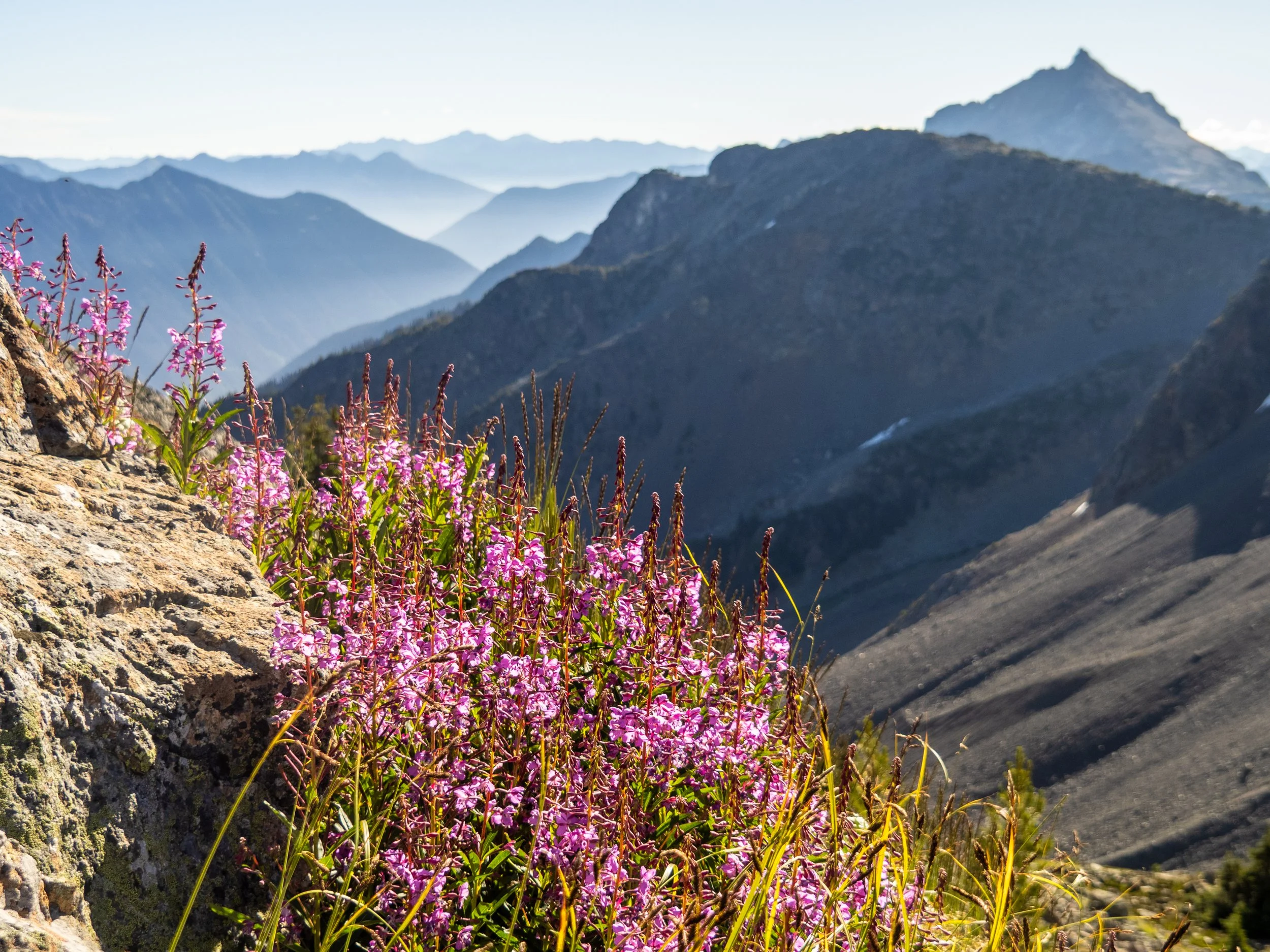
It is a fantastic route, with more stunning lakes than you can count, some cool off trail adventure, and verdant alpine meadows blooming with an incredible array of flowers.
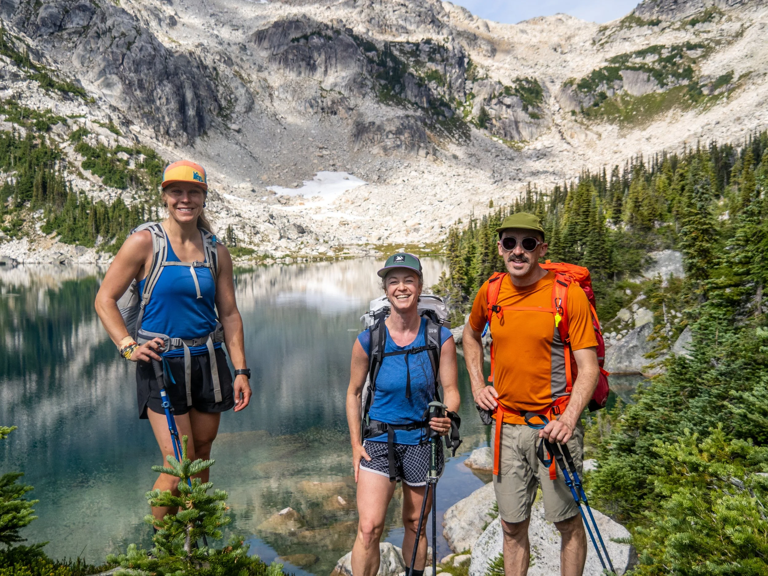
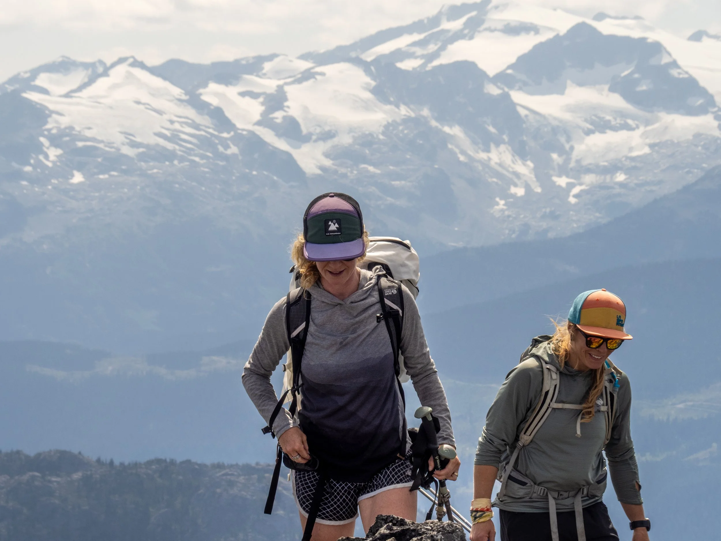
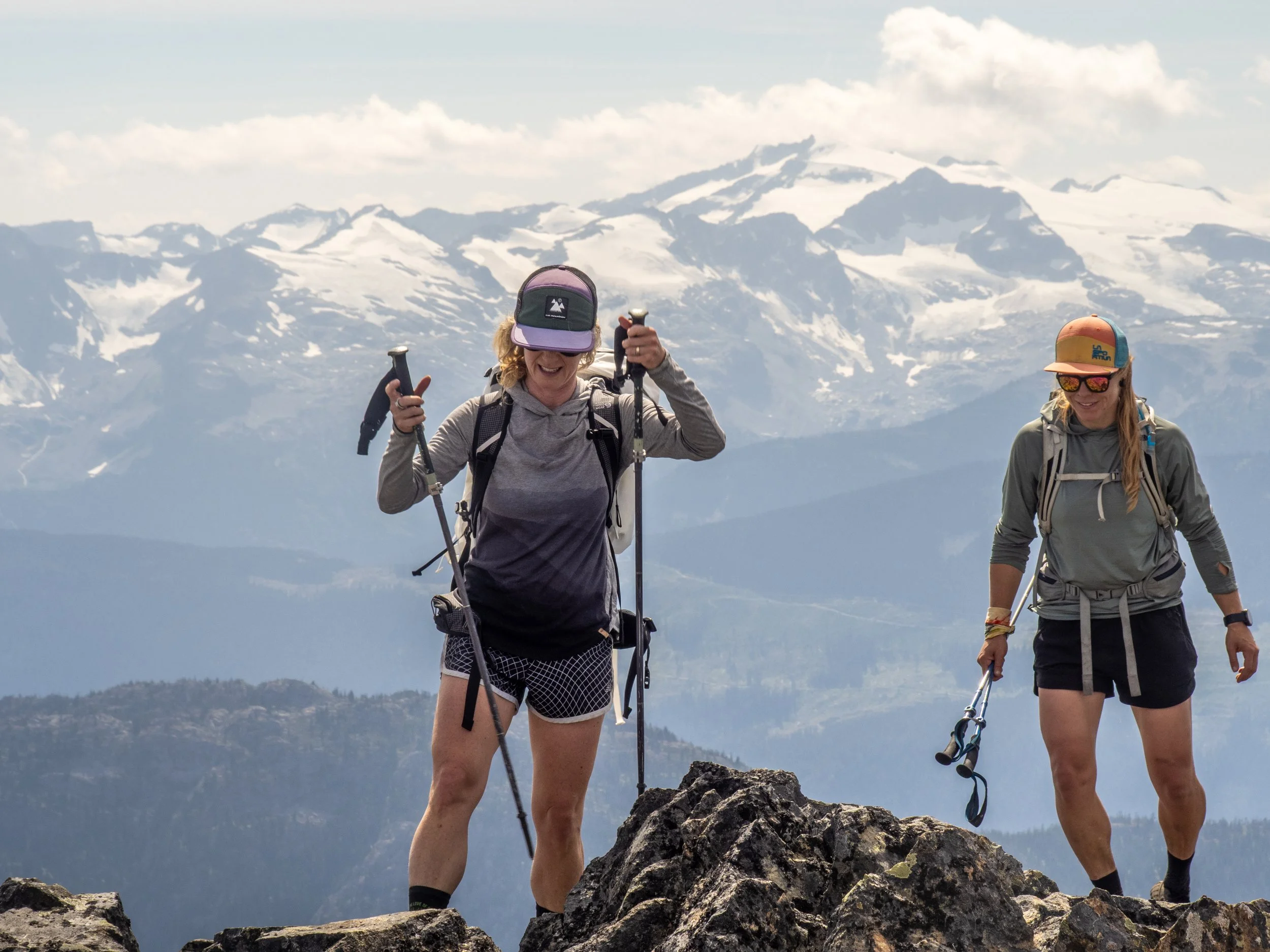
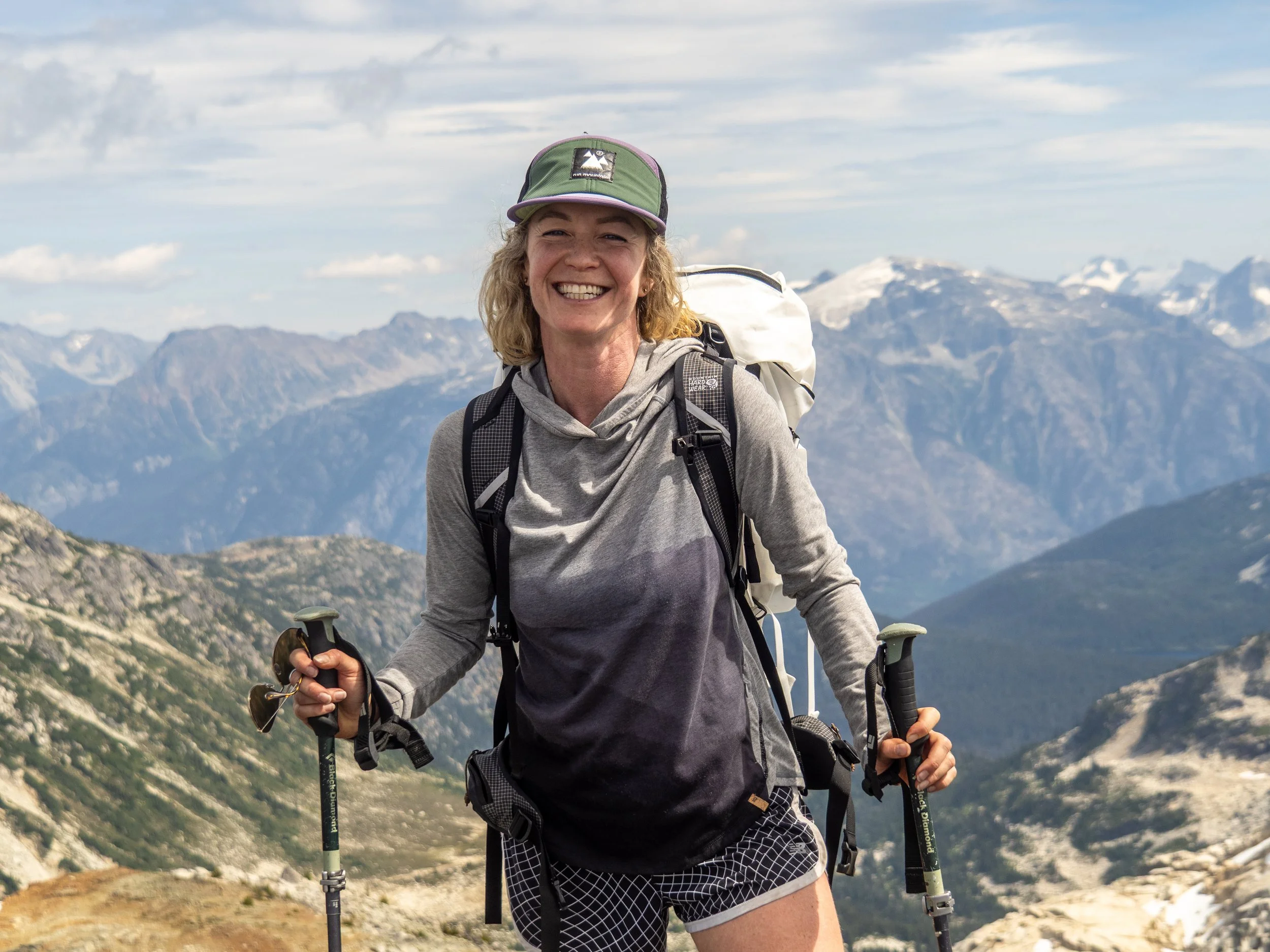
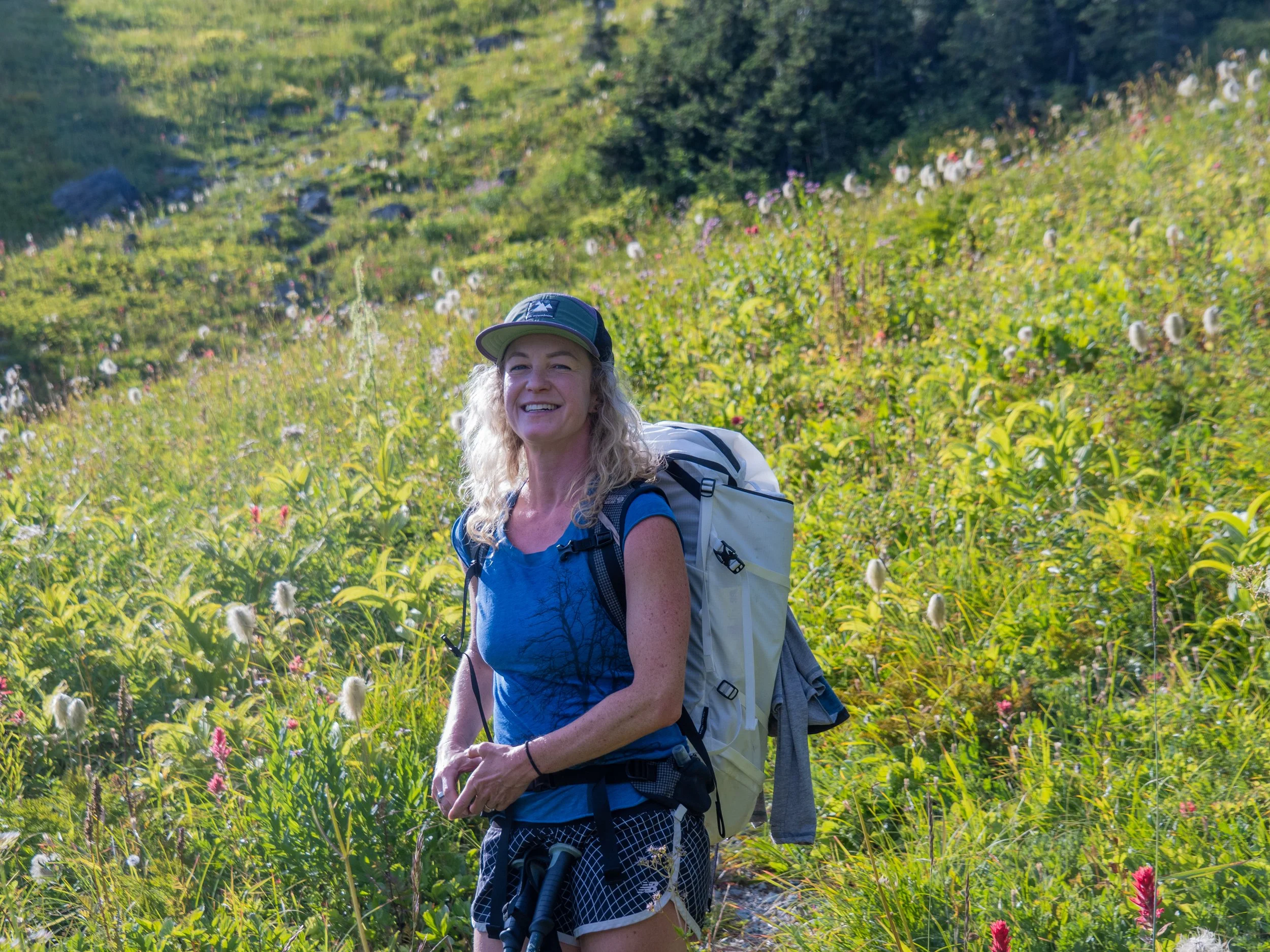
Mega crushers Jem and Shan, the “Mo Payn” duo, joined up for this mission, undertaking a relatively low stress activity in amongst the madness that is some of Shan’s mountain epics, with Jem testing a problematic ACL keeping him off of burly climbing objectives. Sometimes going for a nice reasonable long walk in the mountains with great friends with a general lack of high risk and fear is precisely what the doctor ordered!
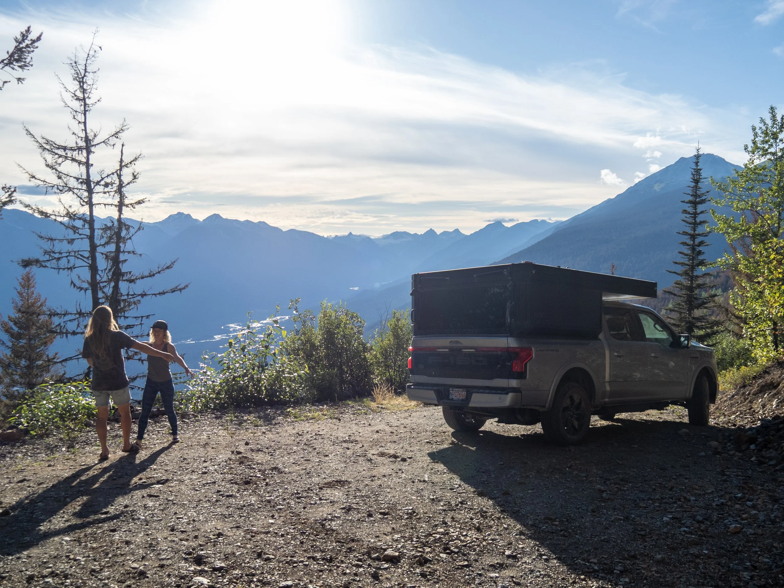
Setting up the shuttle for a point to point of this size takes a bit of logistics, but fortunately we had the time and the vehicles to make it happen. We tested Shan’s newly inherited F-150 up the Hurley and onto Branch 12 to the Tenquille Trailhead, the latter consisting of a few waterbars but nothing significant, and in better shape than expected. We had left late after work, so by that point, we had time for a Pony dinner and drive to the Owl Creek Rec Site to crash, before driving up the Owl Creek FSR to the east end trailhead.
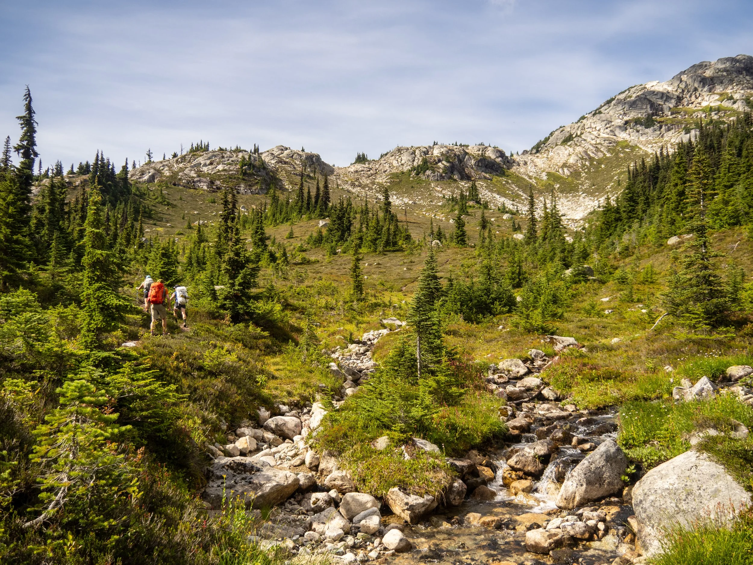
Leaving the clearcuts at the trailhead, the trail meanders up and over the Chain Lakes, climbing towards consistently pretty alpine meadows and lakes. We likely crossed 8+ beautiful lakes in the first couple hours, and were shocked that we did not see a single other person, or signs of camping. This is an incredible area, but doesn’t see the traffic that other nearby sites do, I guess partially due to the worse access up the Owl Creek FSR?
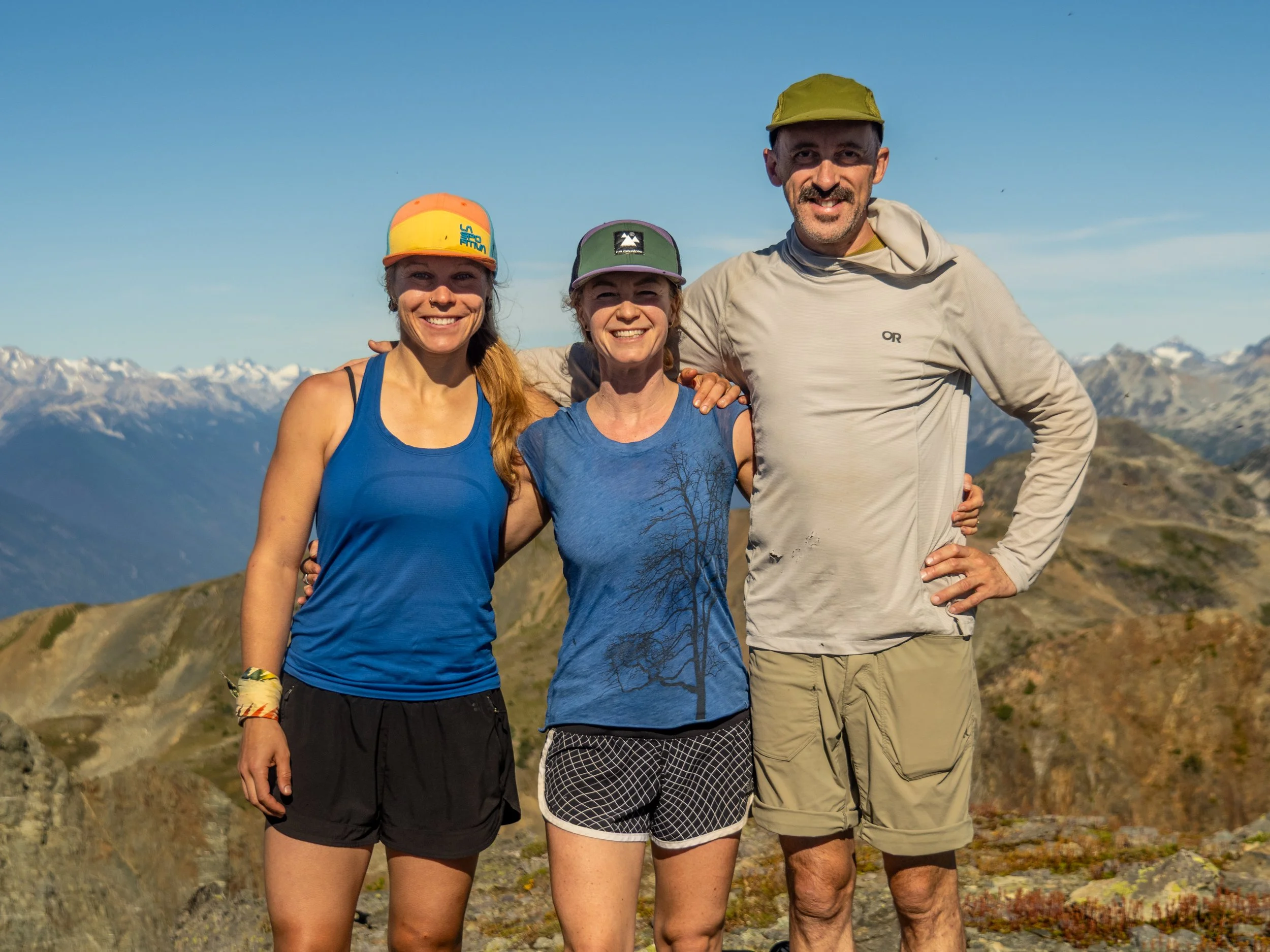
The crew at Fowl Lake
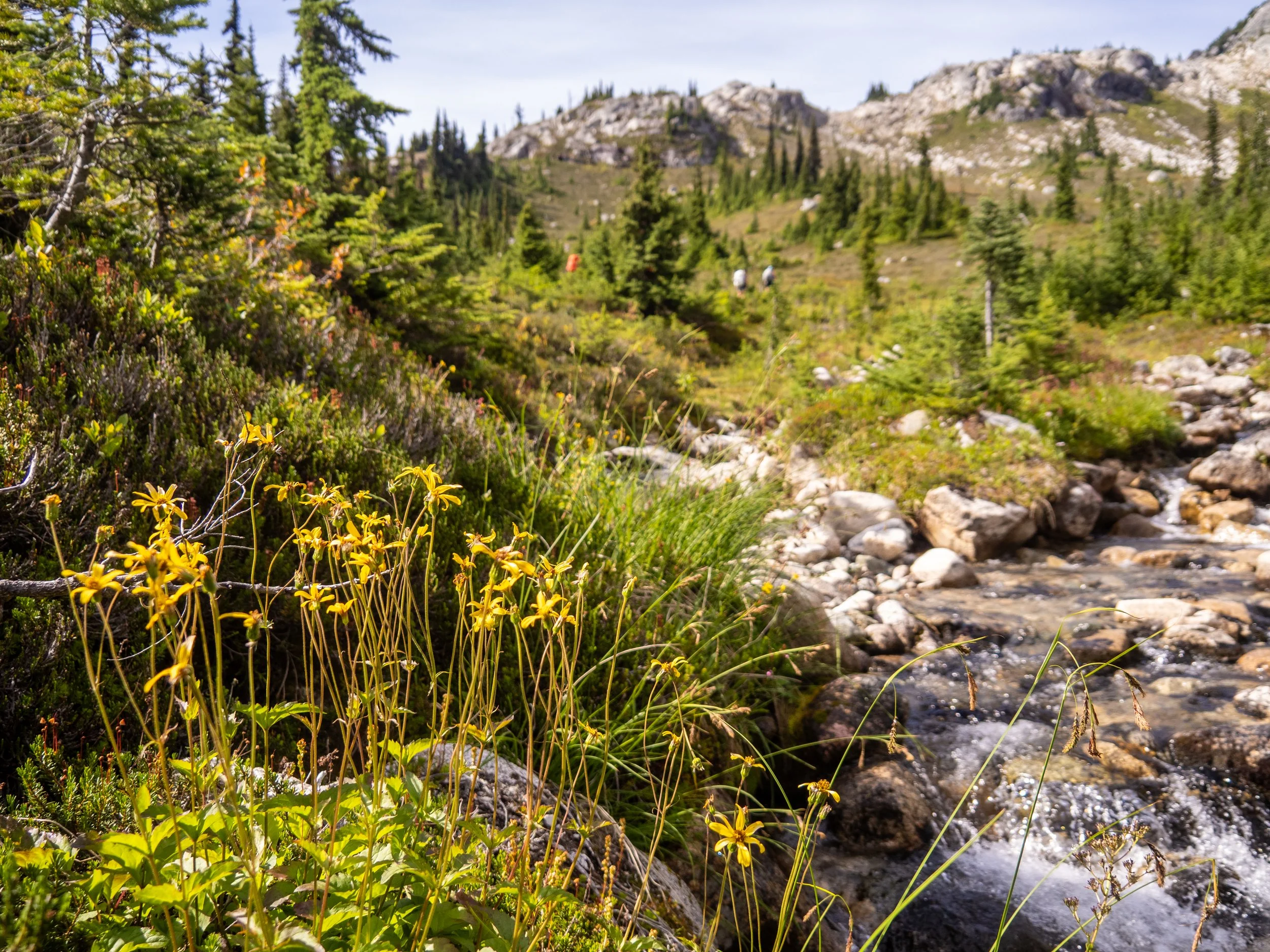
At Fowl Lake, the trail ends and the route finding section begins, though it’s fairly obvious based on the GPS track and the odd cairn marker. Ascending from Fowl Lake through enormous car to bus sized boulders was pretty fun and engaging.

Ascending boulders above Fowl Lake
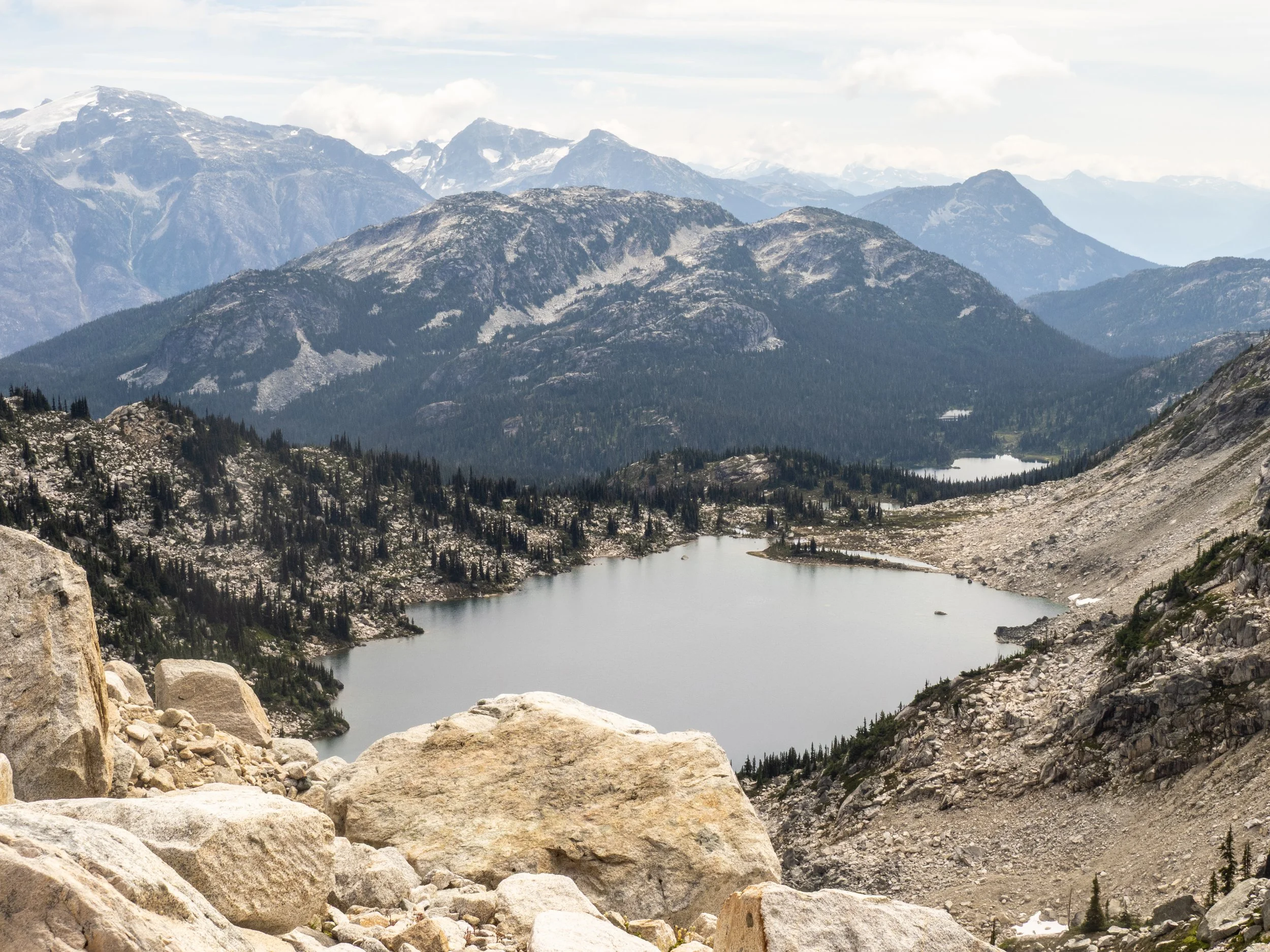


We took a brief detour to reach our only summit of the trip, Mt. Ronayne. From the top, sweeping views revealed much of our route in both directions. The peak is also a storied spot for skiing in past winters, as it hosts an exceptional snowmobile-access zone that offers long, steep ski lines that can be doubled up and lapped with relative ease. It was one of several moments this summer where I stood in a landscape that felt familiar from winter, yet carried an entirely different character and presence in the summer season.
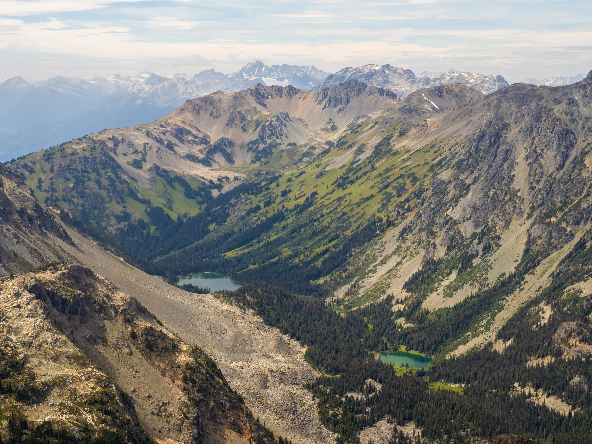
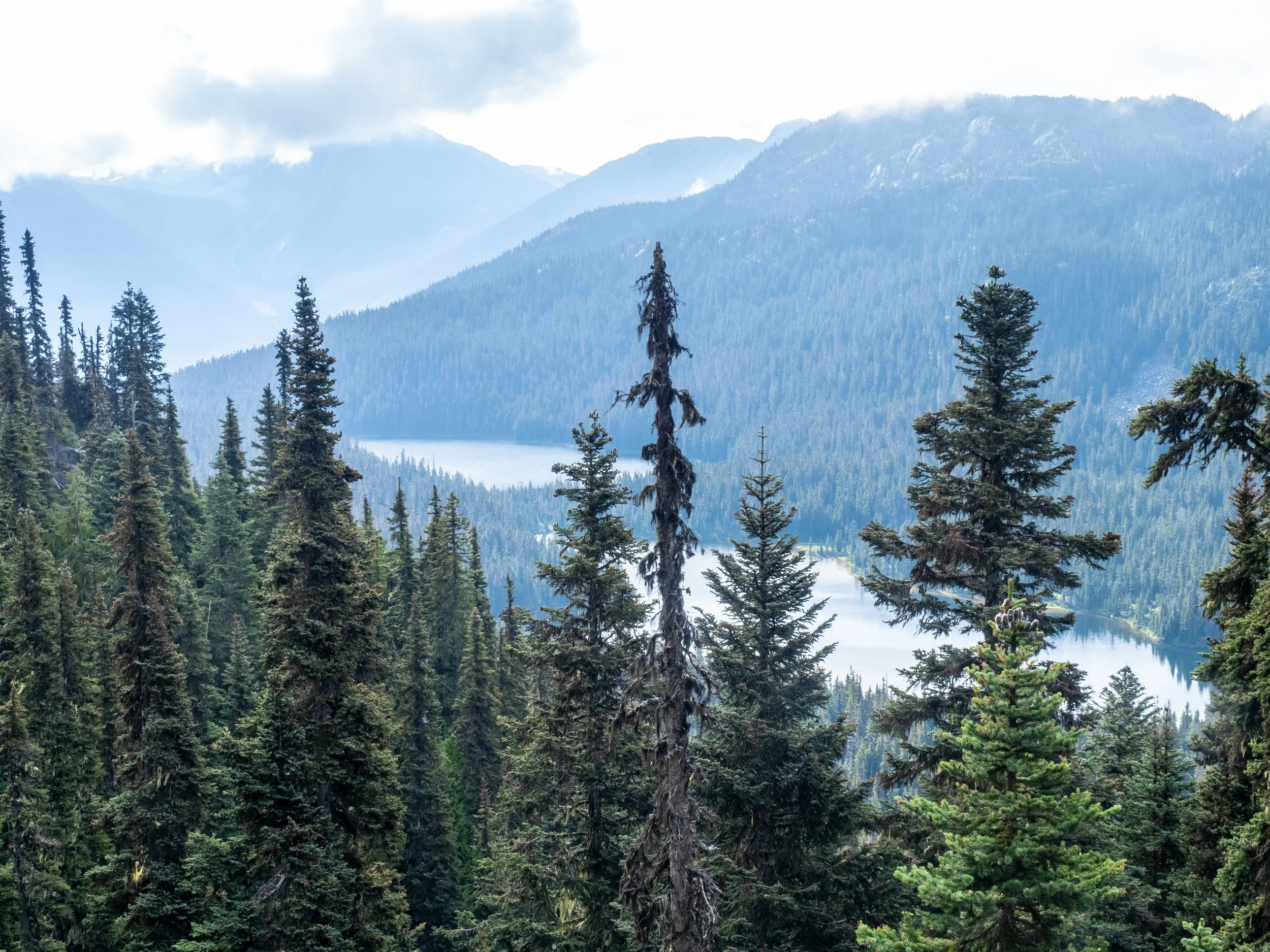
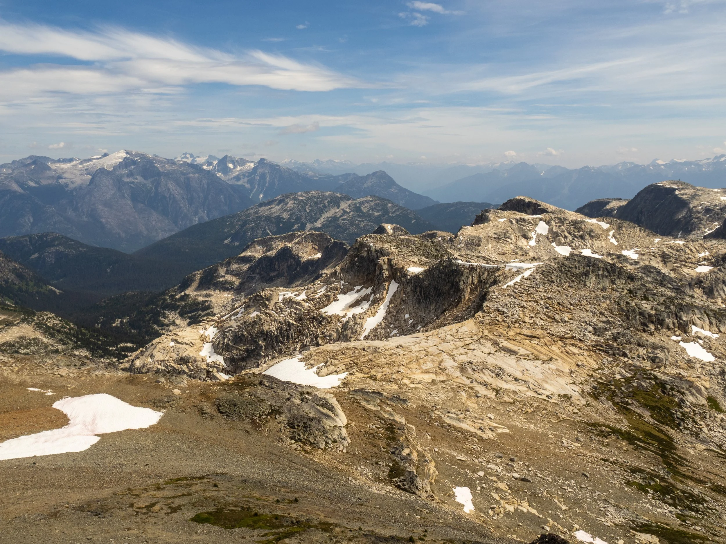
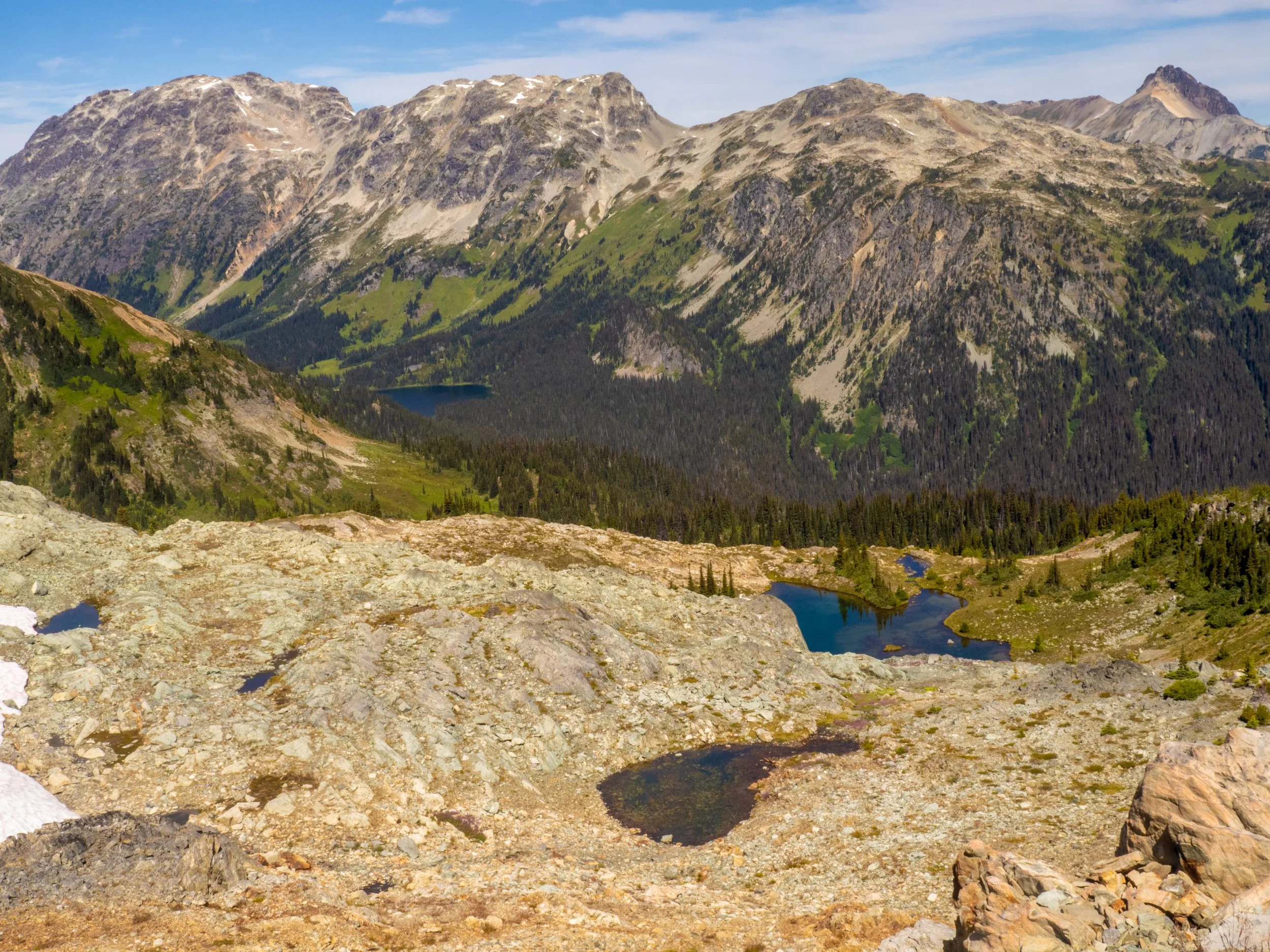
The view west towards the continuation of our route. We would descend down to Ogre Lake at the far end of the valley, then back up verdant slopes with the goal of camping up in the upper basin where another small tarn can be seen. Tenquille Mountain is behind to the right, with Locamotive and Sampson further west.
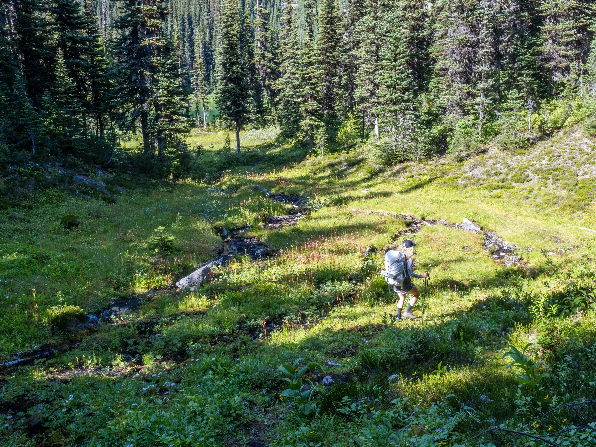
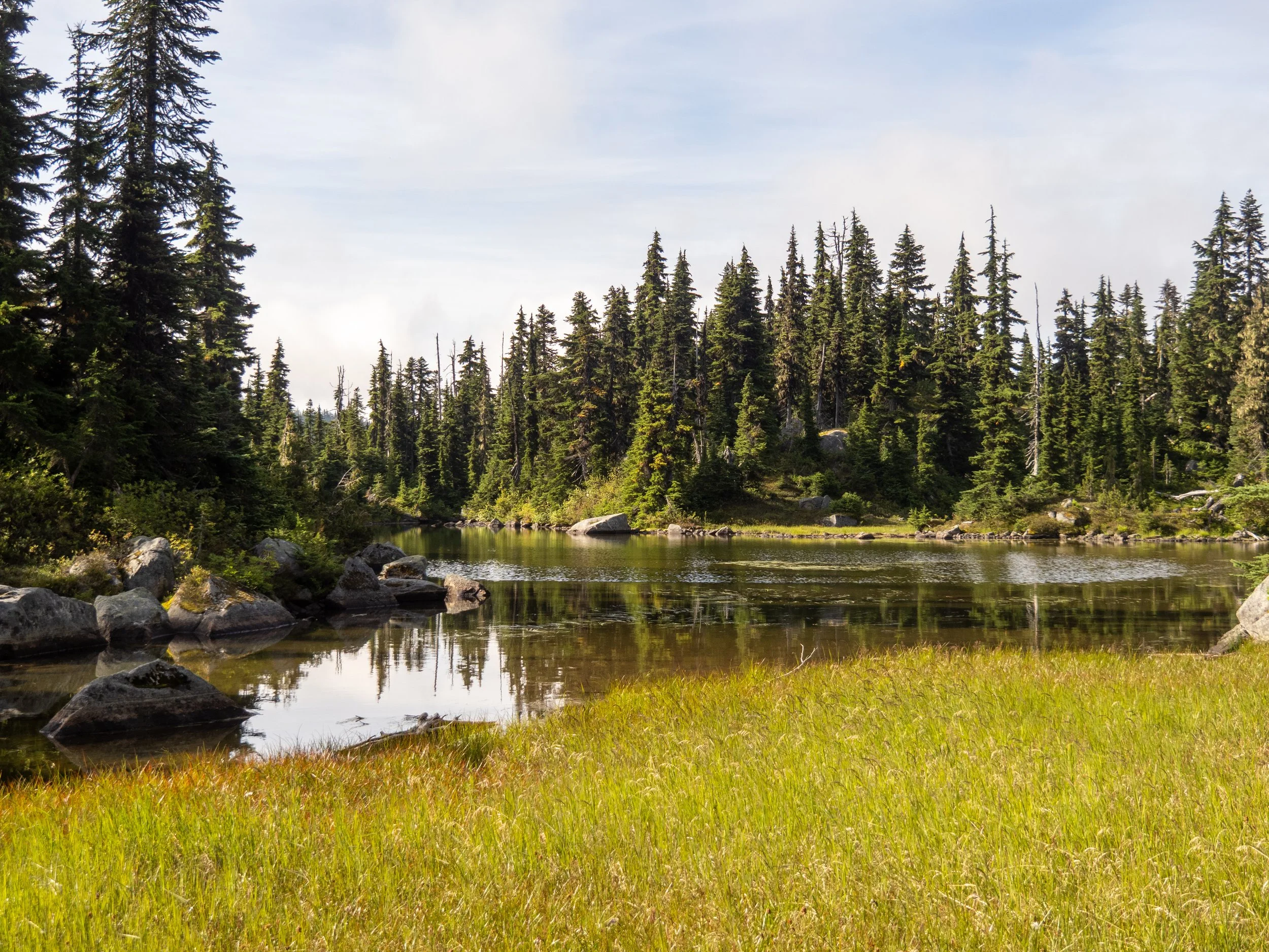
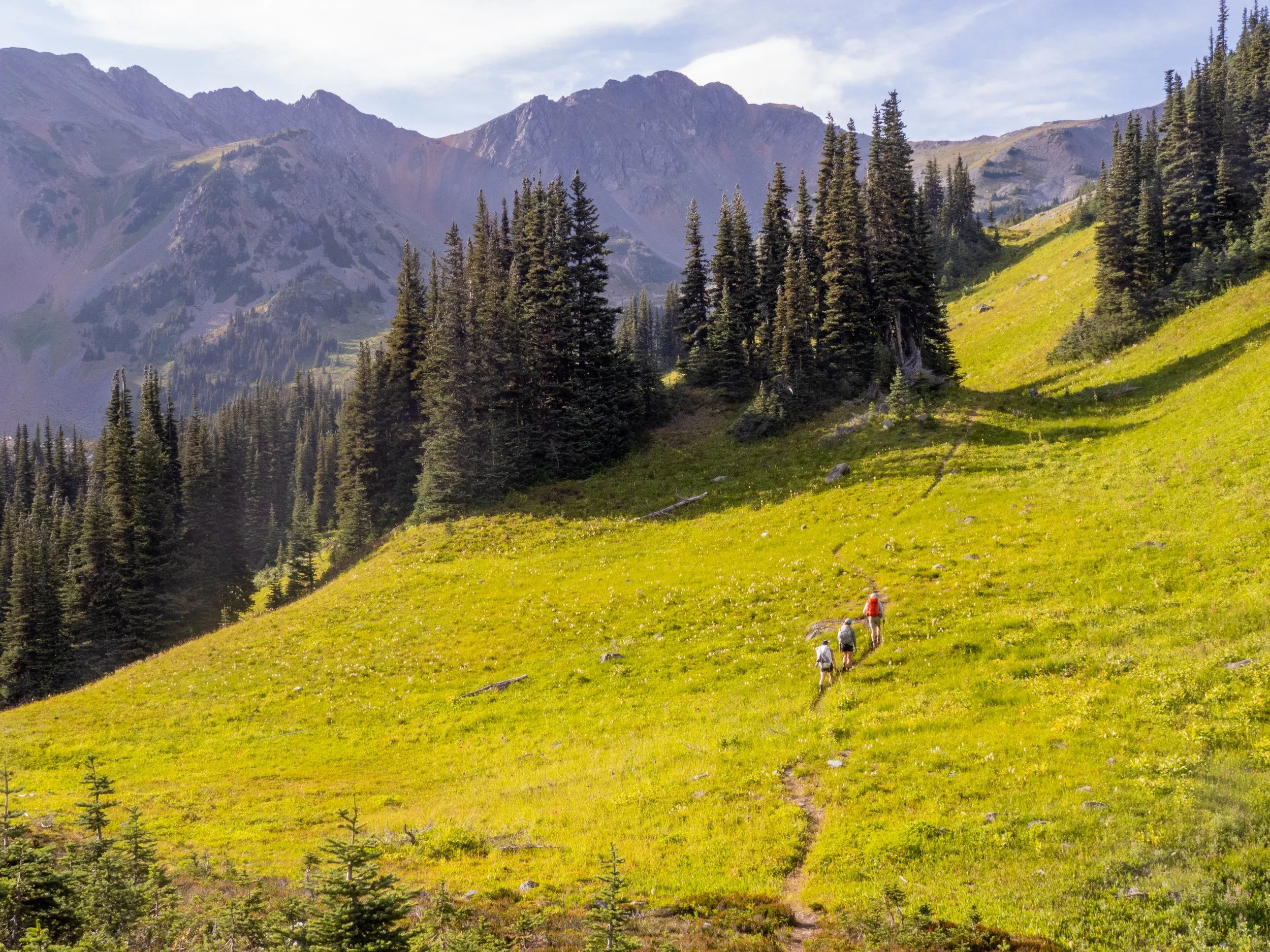
The trail picks up again down in the valley, where the descent from Ronayne is fairly direct and uncomplicated. From there, the route winds past even more lakes, open meadows, and flowing streams, weaving together an incredible lush landscape.


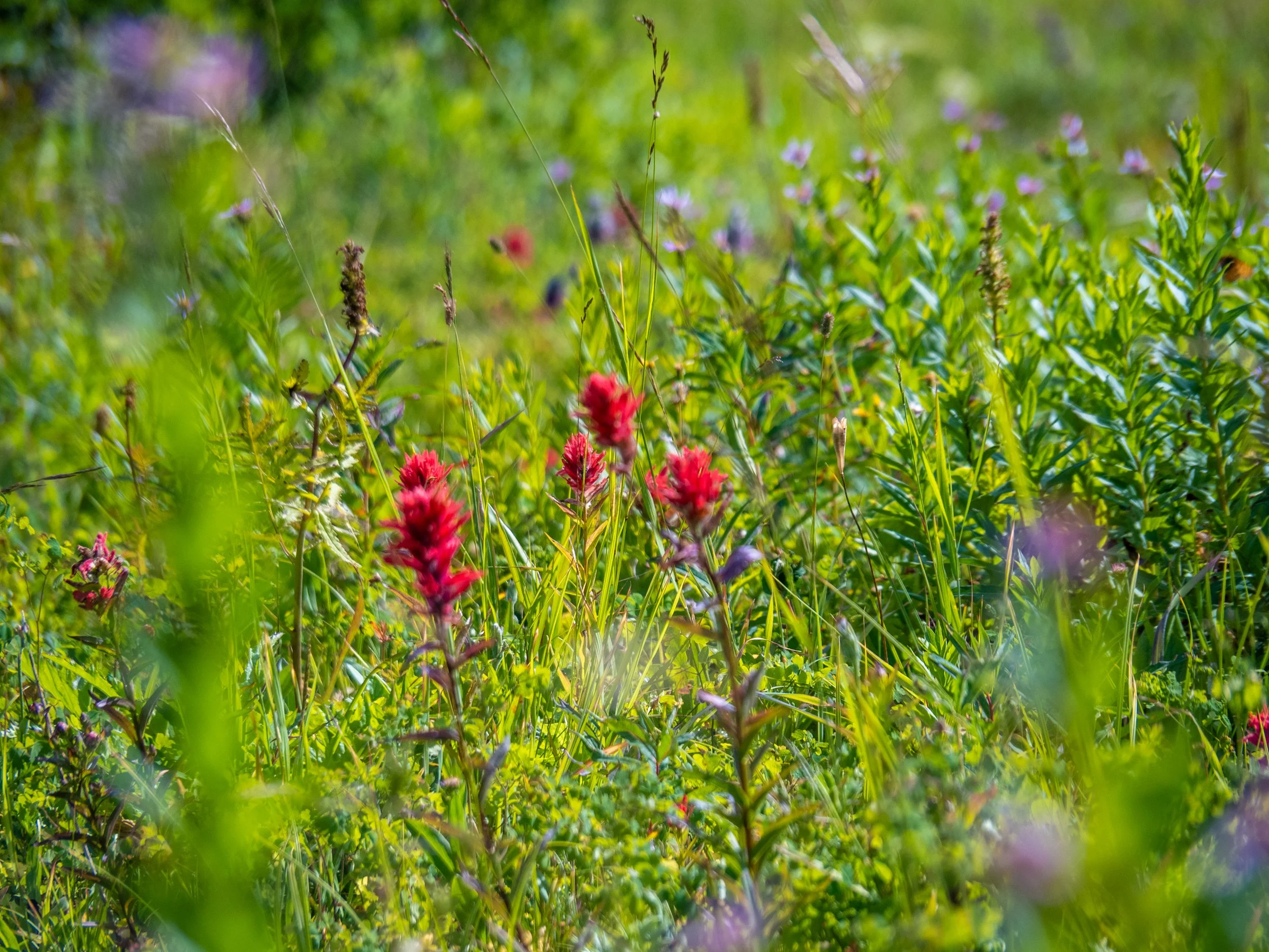


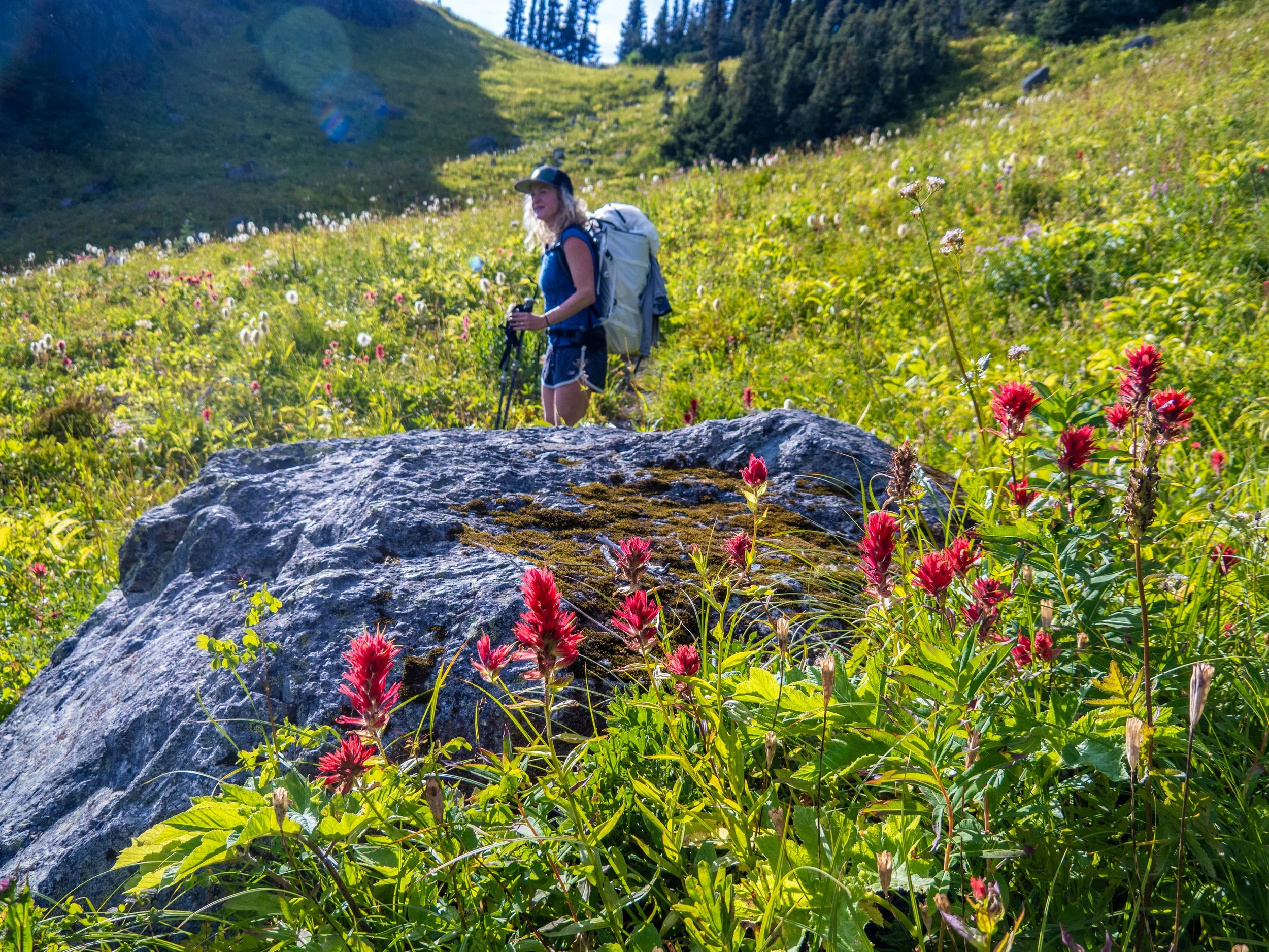


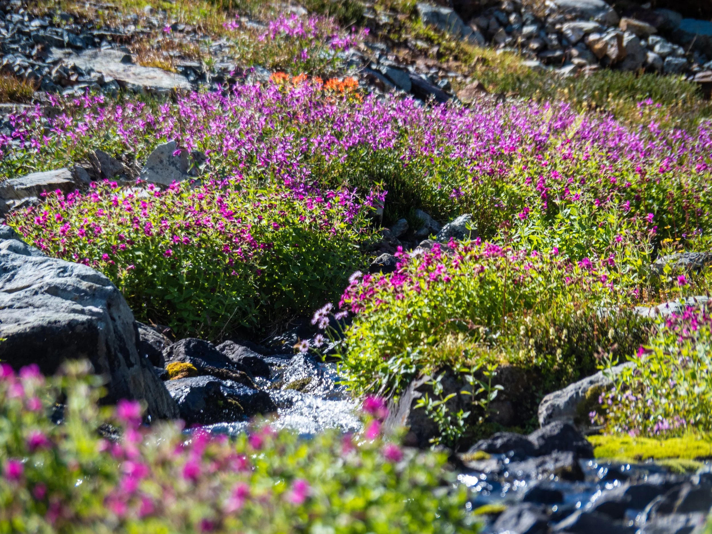
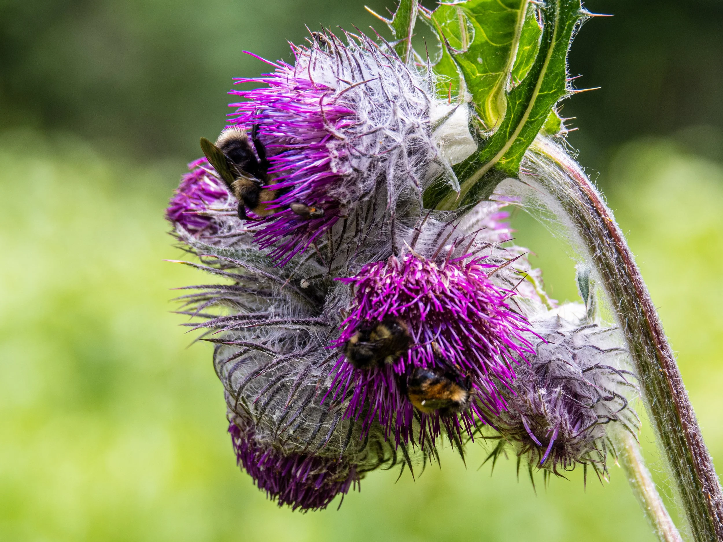
By the time we started the ascent from Ogre Lake we had pushed a fair distance of around 18km and 1800m of climbing with overnight packs, and the crew was starting to fade a bit. But we were immediately greeted with jaw dropping lush alpine meadows with a dazzling array of flowers, bee, birds, colours, and smells. This provided a much needed burst of energy, with plenty of stoke as we meandered up to the basin where we would set up camp for the night.
It’s incredible how much fatigue is tied to mental states. Exhaustion can completely dissipate when the mind is engaged and awstruck by its surroundings.

In the upper basin above Ogre Lake
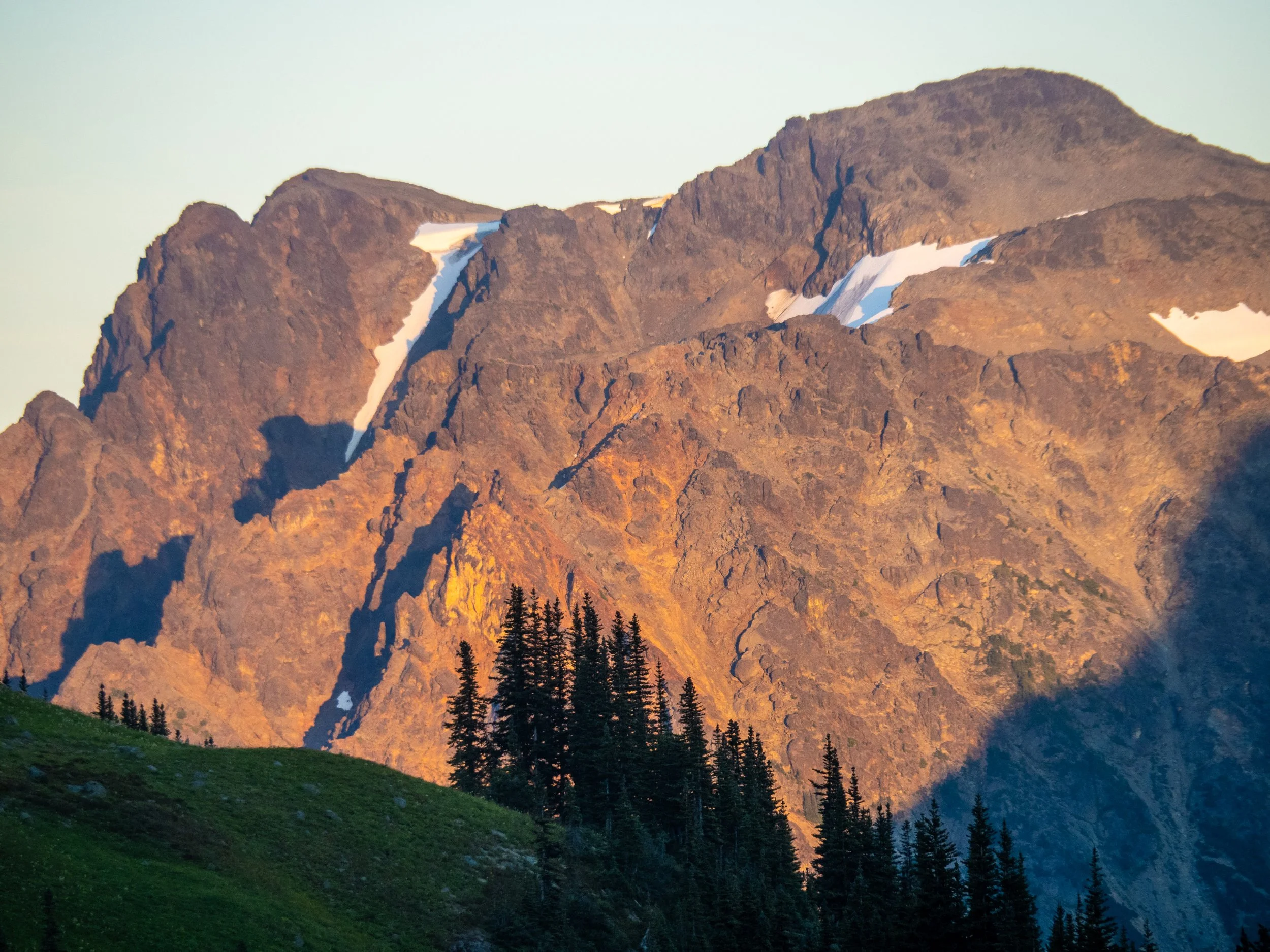
Alpenglow from camp on Ronayne.

A few pesky mosquitos came out at dusk in an attempt to prove my point regarding backpacking, but they seemed to mainly just want to hang out on Shan’s bright turquoise toque. We crawled into the tent well before dark, which never actually came as the full moon illuminated us in our tents with such intensity that eye masks were needed.

The next day we had looked at a direct up and over option around Mt. Barber, but we’re unsure about the route and if it even went without technical gear, of which we collectively brought none. So we marched to the col to the east of the peak and it became immediately apparent that this was not gonna fly, as the access to the summit and the descending ridge beyond looked very technical. But the views were worth the climb up anyways, and so we enjoyed a morning snack before descending back down the way we came, regaining the main trail.

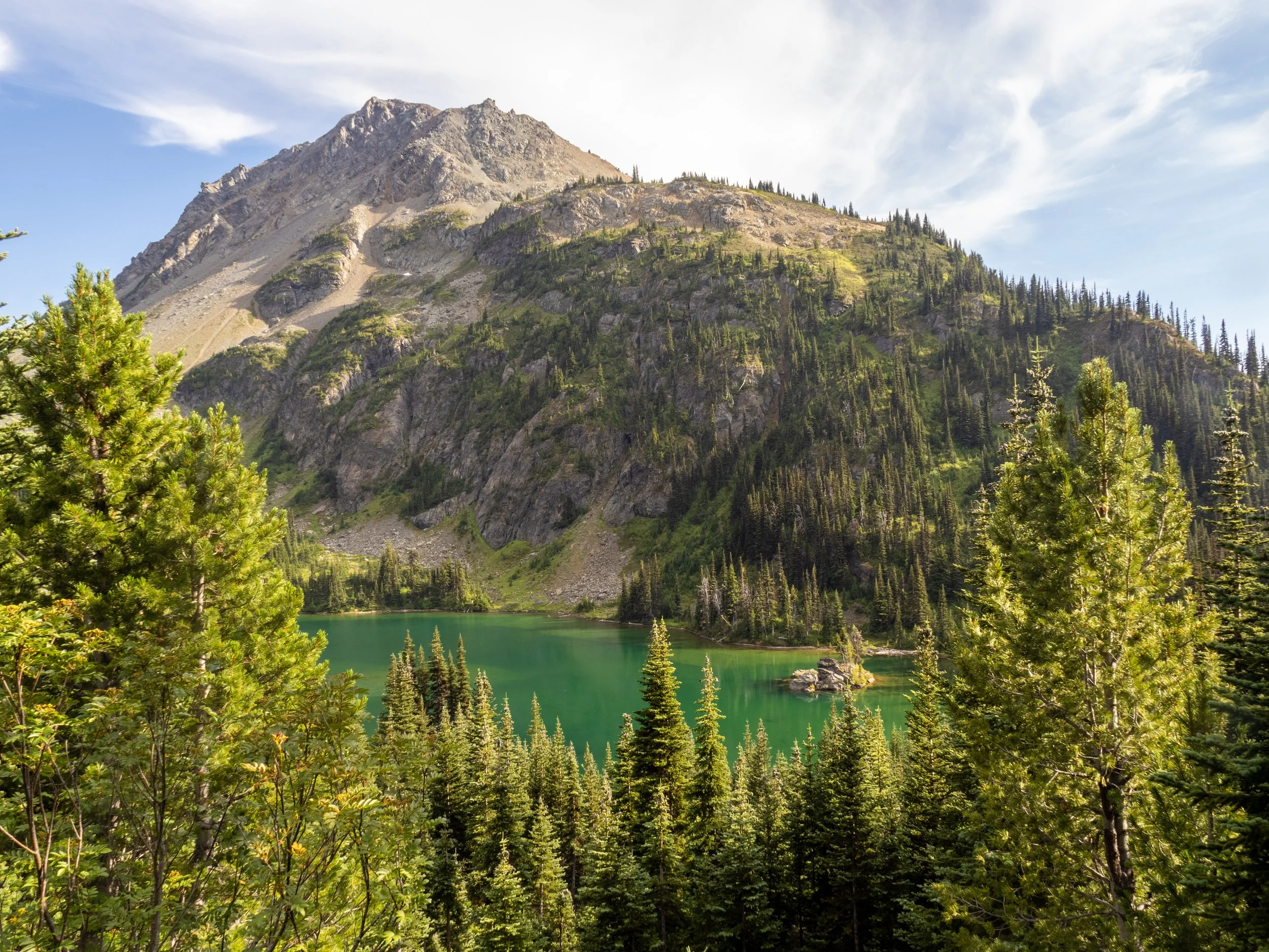
Views from the col east of Barber. More beautiful lakes, the lower one we would pass a few hours later and enjoy a very refreshing swim.
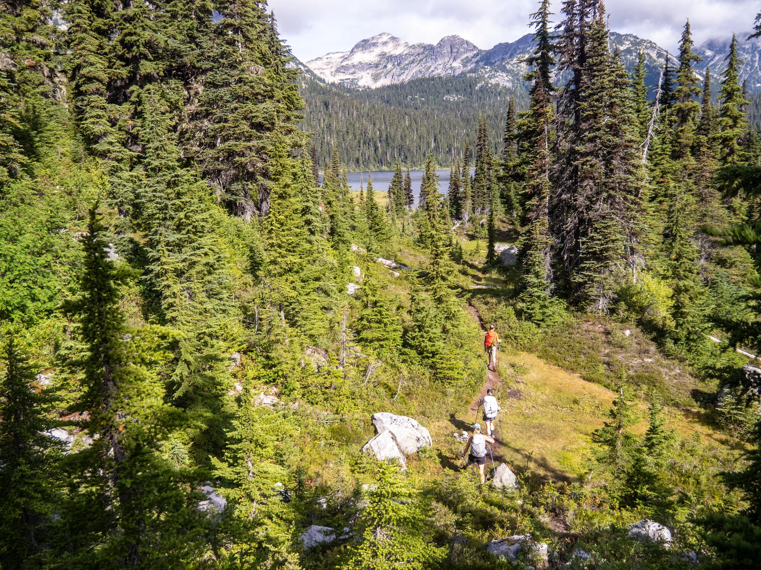
First views of Tenquille Lake in the distance on the left.

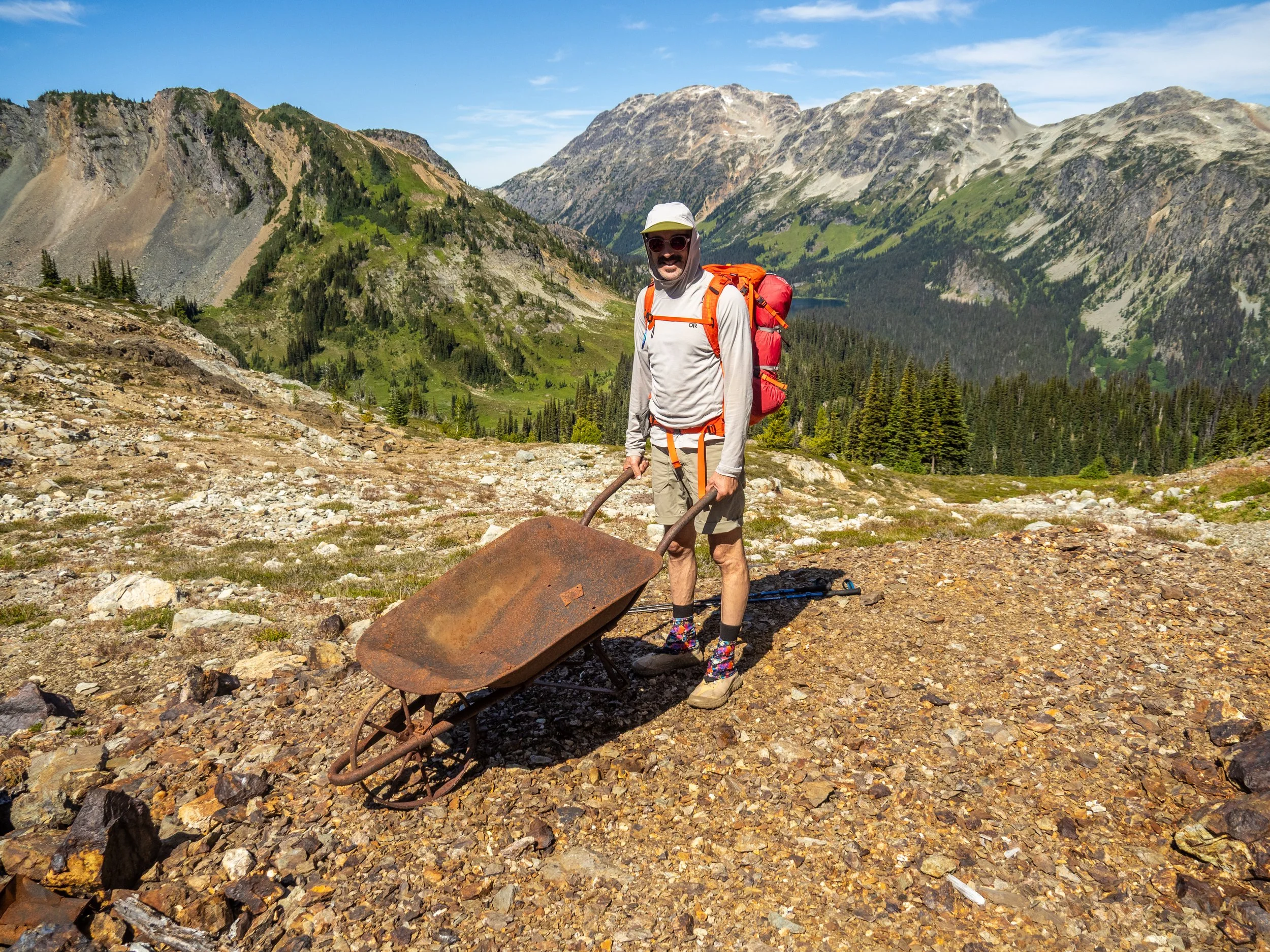
This was gold mine country, and so signs of old claims were present, including this old wheelbarrow accompanied by a lot of abandoned trash.
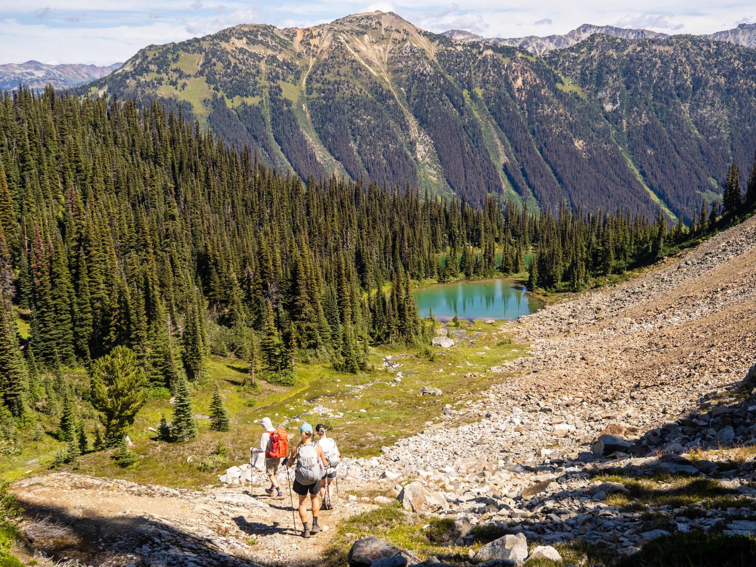
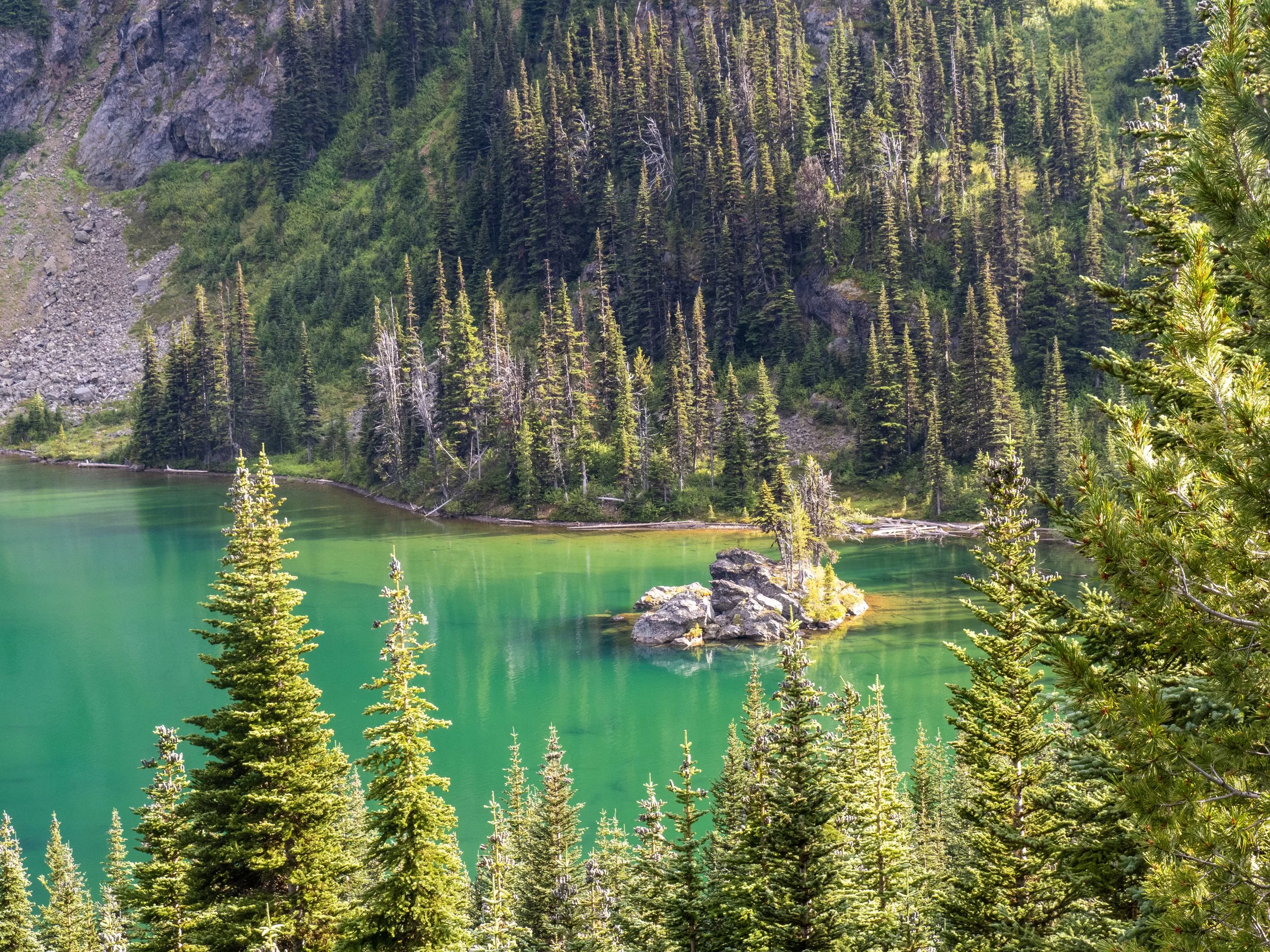
More lakes!
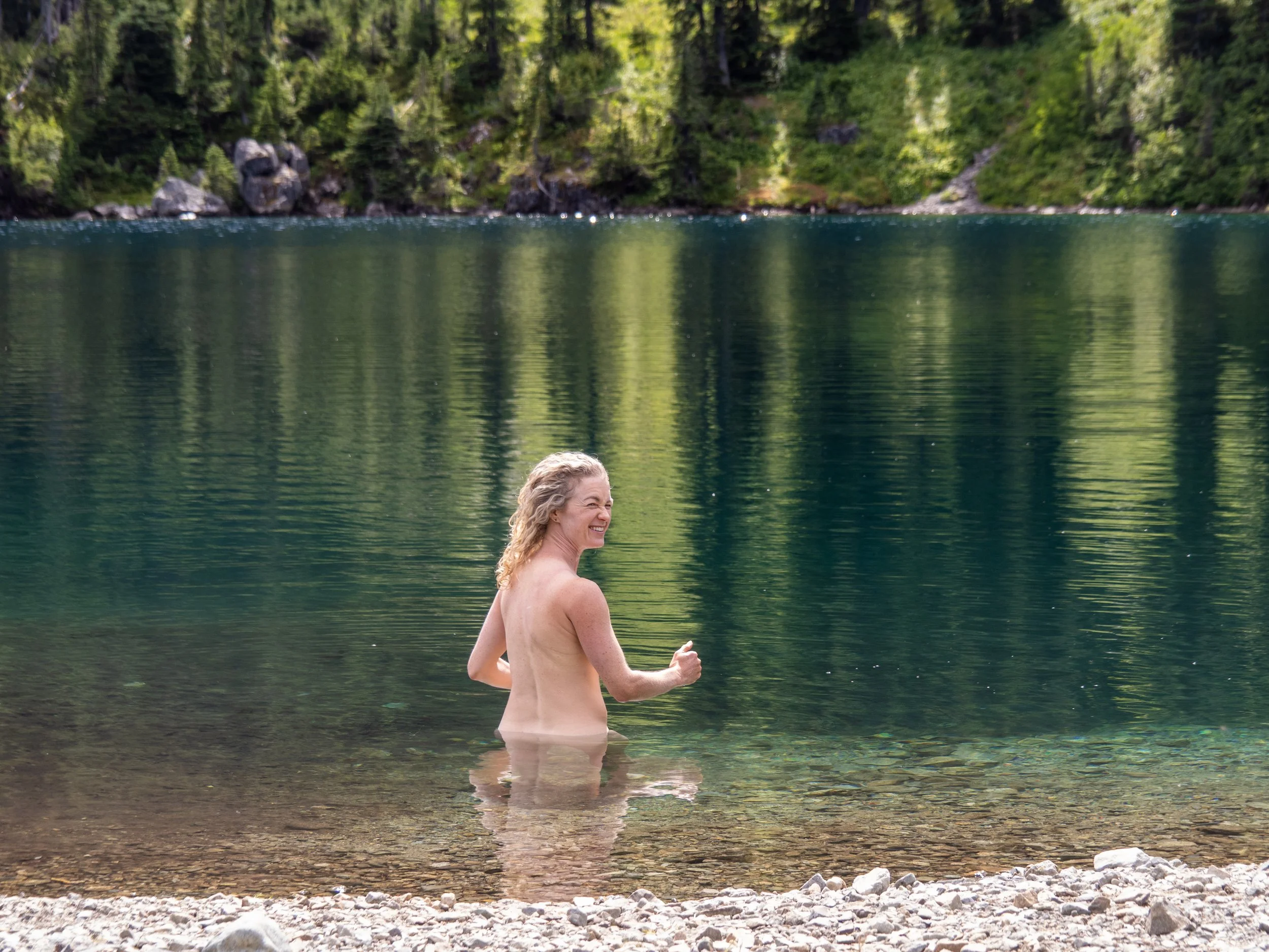
Mary enjoying the final lake of the trip at Tenquille
The “Pines Pack” strategy allowed for numerous refreshing lake dips, and we stopped at the recently upgraded Tenquille Lake cabin, a joint project between BC Rec Sites, the Pemberton Wildlife Association, and the Lil'wat First Nations. A lot of work and resources have gone into this hut, with a full time caretaker residing on site, who we chatted with for a bit about grizzly sightings and hut maintenance. It appears to be a successful partnership, which has proved to be a challenging and divisive topic recently, with opposing ideas of how these special places should be treated, maintained, and shared.
BC Parks is currently engaged in a challenging arrangement with local First Nations interests, who have collaborated on annual closures since 2021, but this year Parks rejected their request for a longer closure, shutting down the park for 30 days instead of the 2-3 months requested.
For Tenquille and the Lil’wat, I imagine being at the table initially during the development of the vision and strategy for land use management would have been significant. If interested, the Visitor Use Management Strategy document on the Pemberton Wildlife Association site provides historical context of the local First Nations, and values associated with the area.
We were incredibly appreciative to have spent some quality time in this incredible landscape. The effort that has gone into developing and maintaining this area is substantial, yet, remarkably, it receives only a fraction of the foot traffic seen at other local destinations. Aside from crossing paths with another duo on the Owl-Tenquille trail—who, by chance, camped at the very same site as we did—and briefly encountering the hut caretaker and a couple of groups heading to Tenquille Cabin towards the end, we enjoyed complete solitude. Which is wild considering how close to Pemberton this trail is.
I hope we continue to nurture and develop these shared resources in a sustainable way, that avoids overuse, provides a level of respect and compassion to First Nations’ interest, while maintaining access to the general public to enjoy as much as possible.
These places are just too special to lose, either through misuse or disuse.