Floating Off the Edge of the World: Athelney Pass
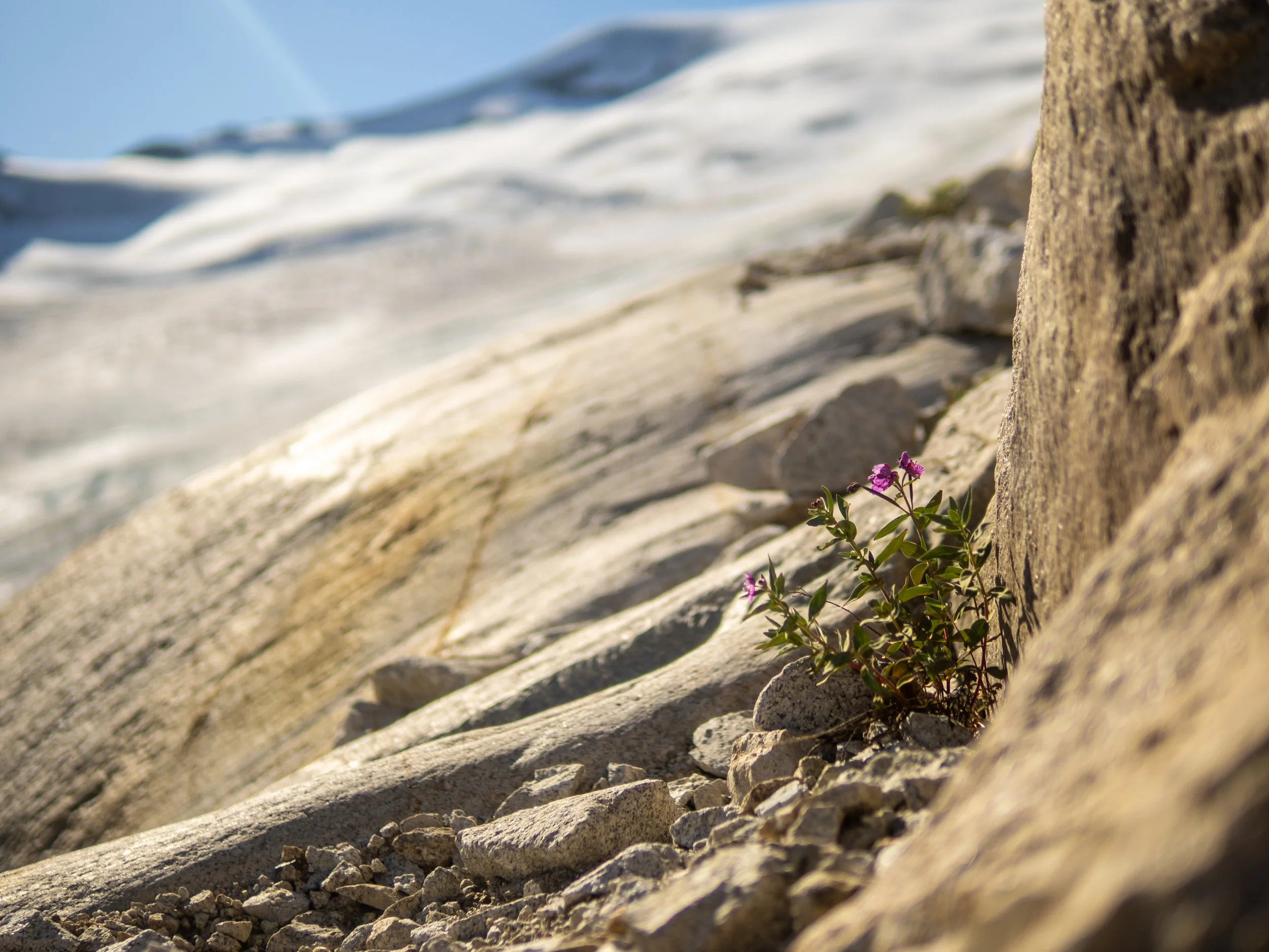
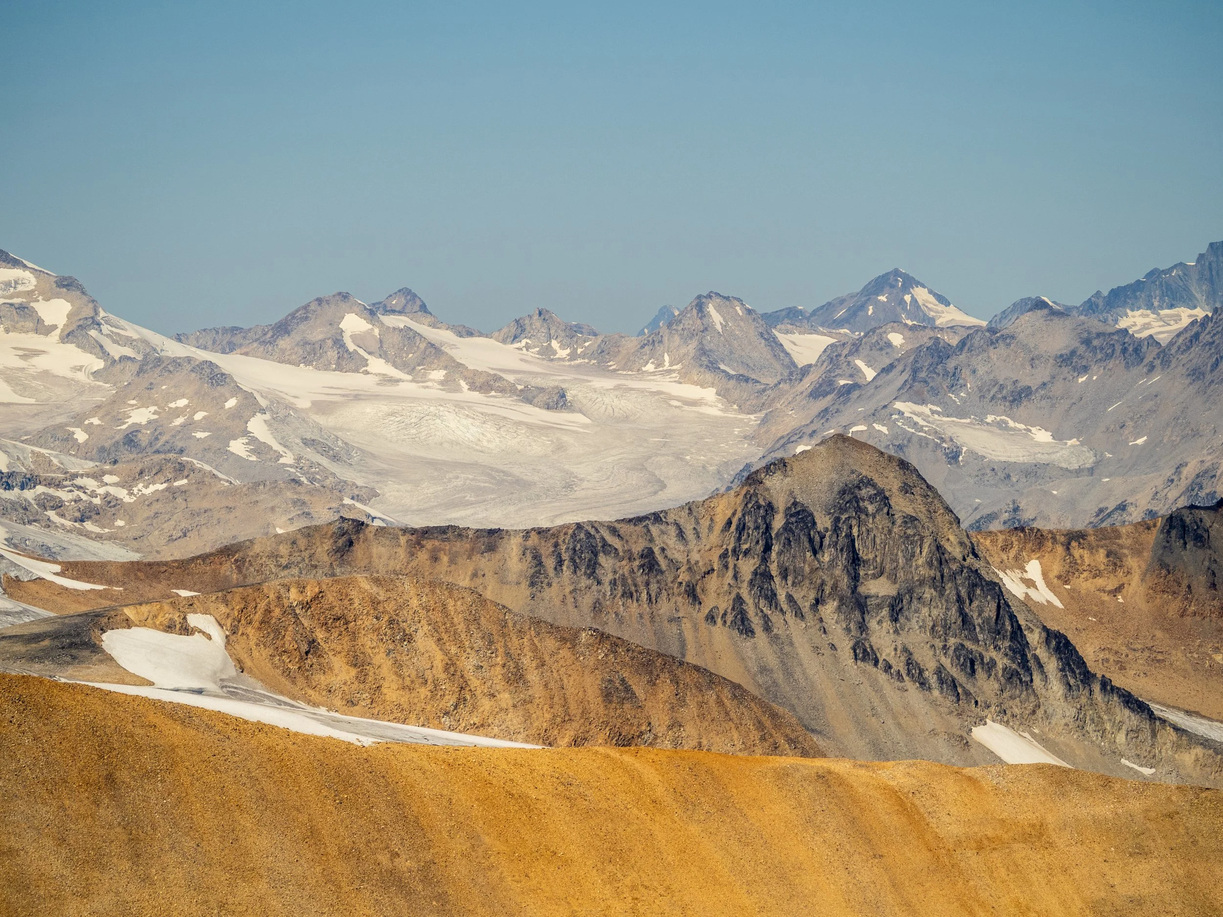
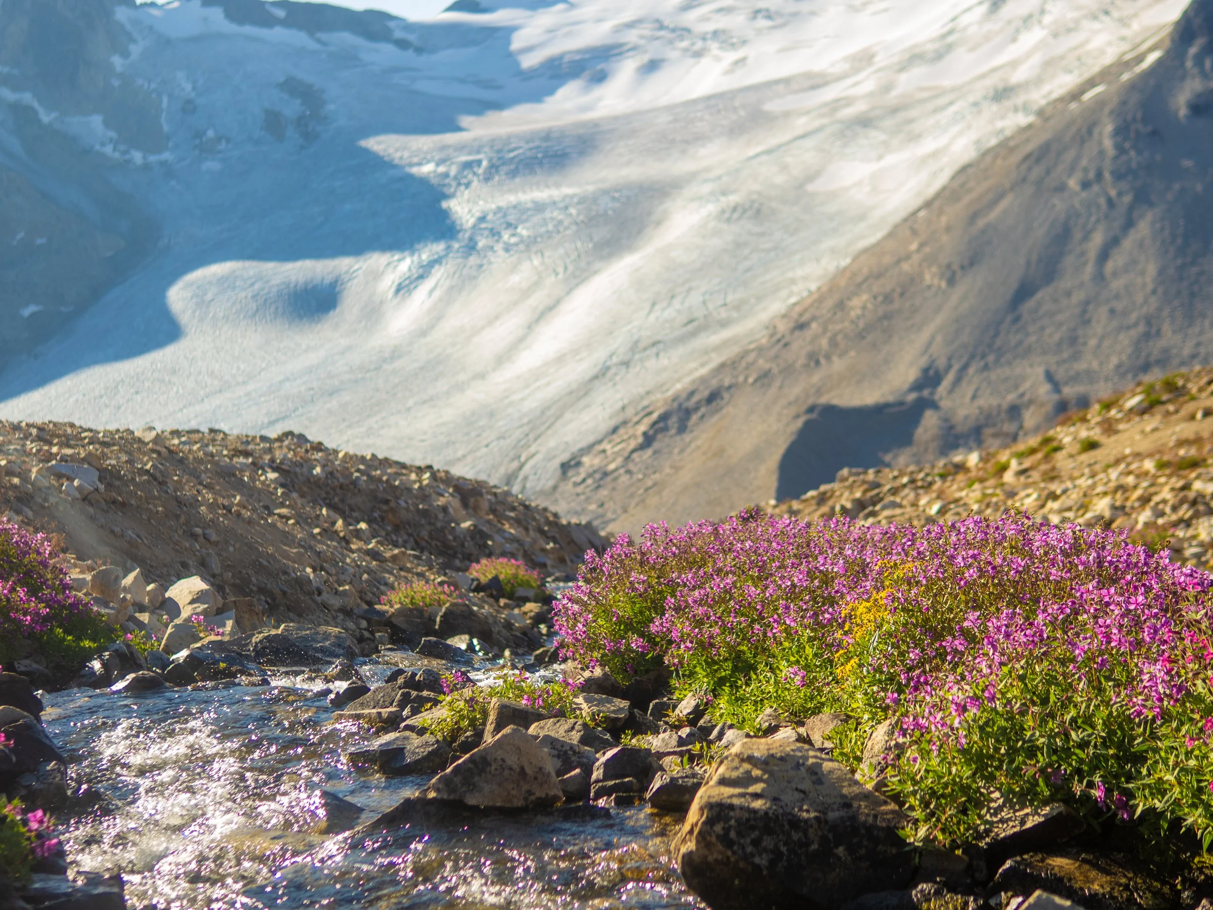
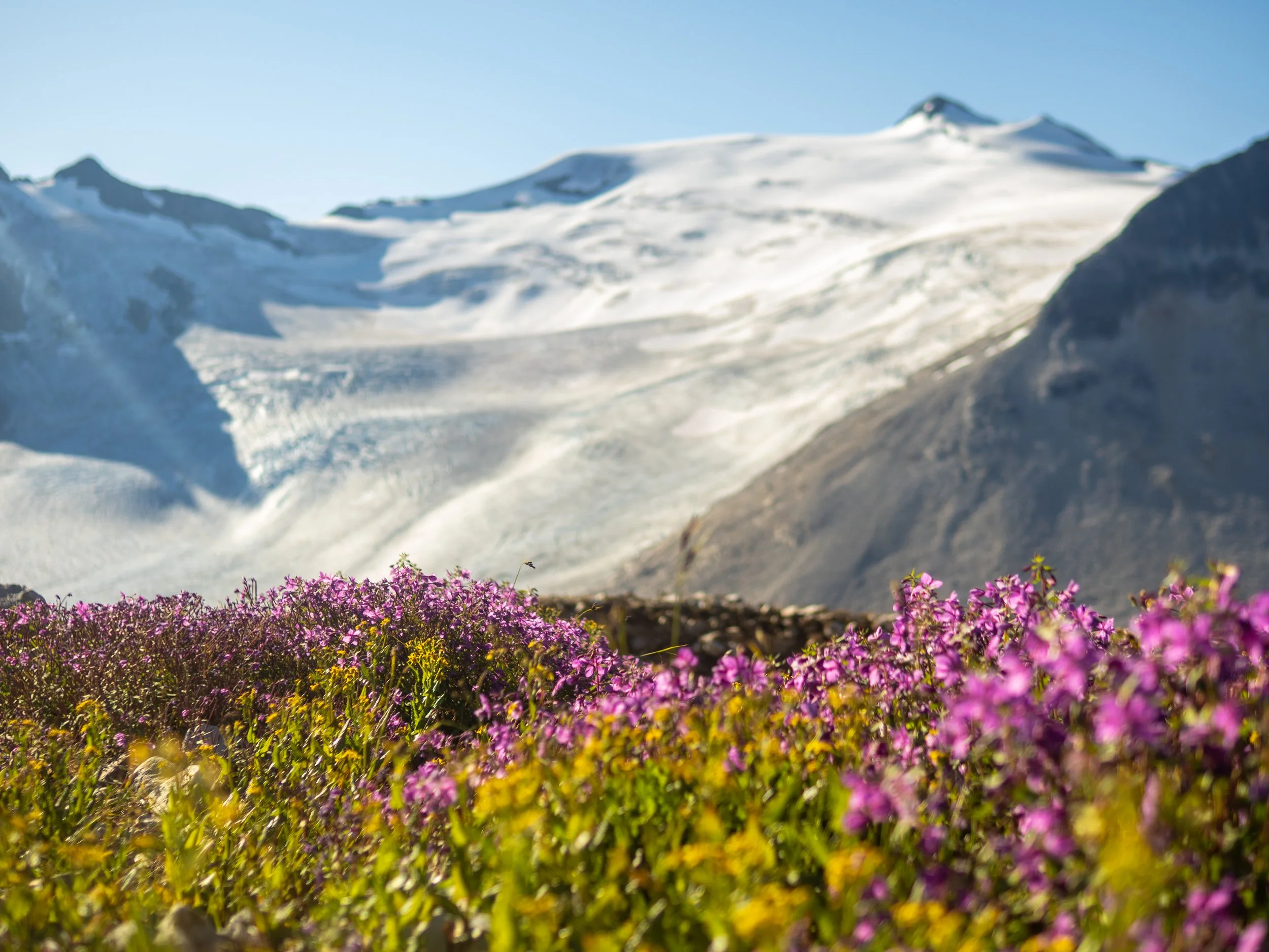
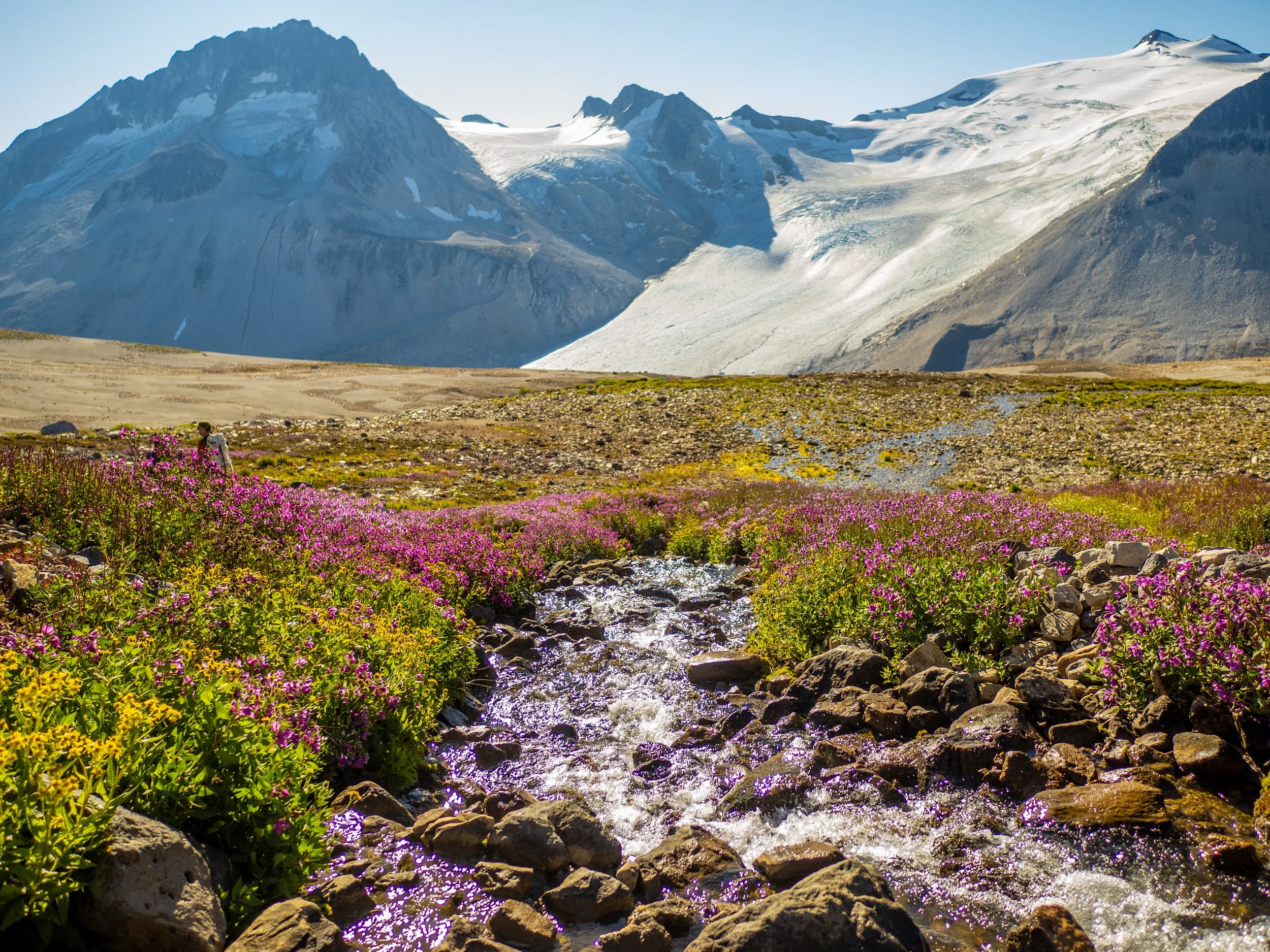
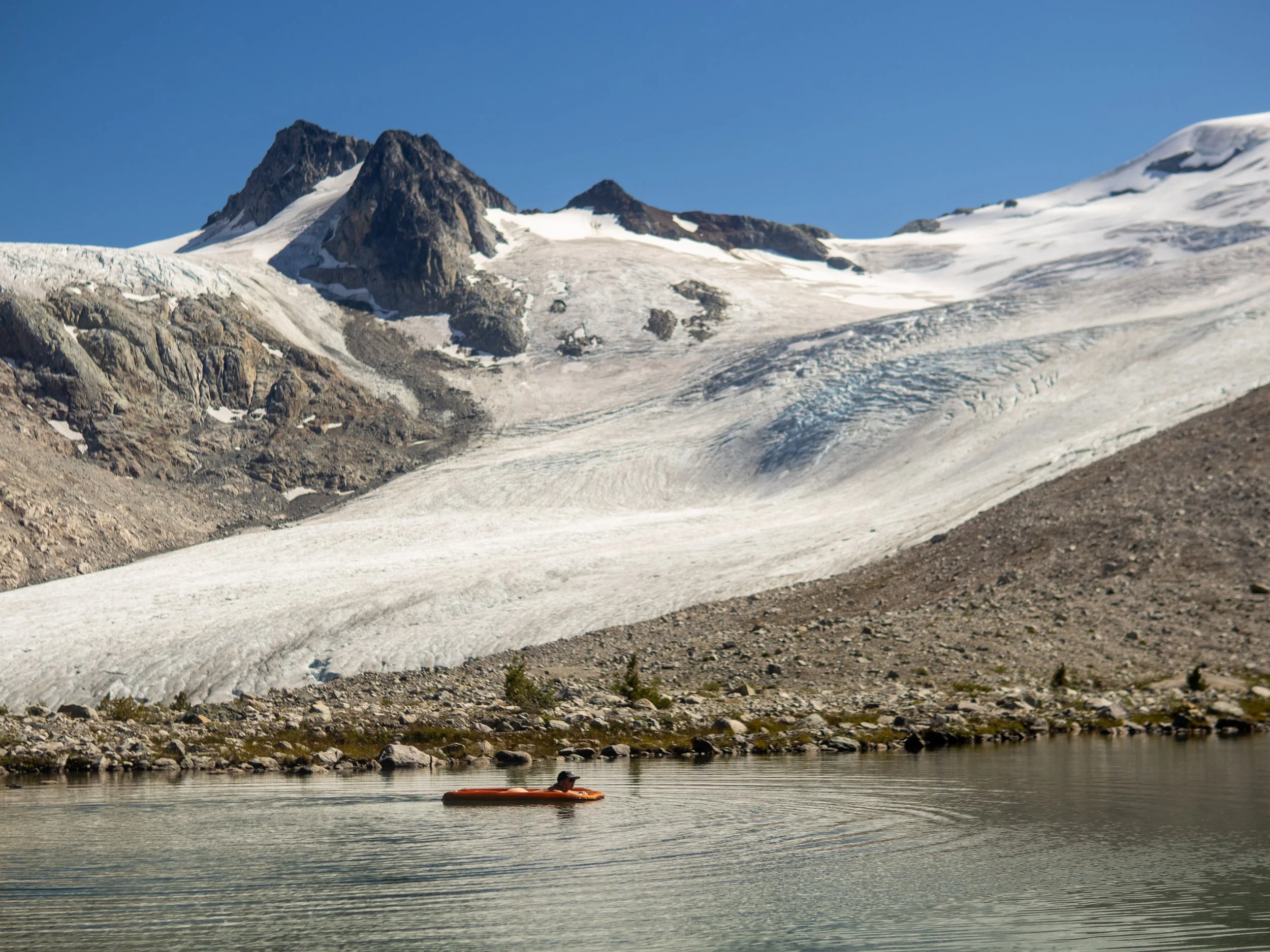
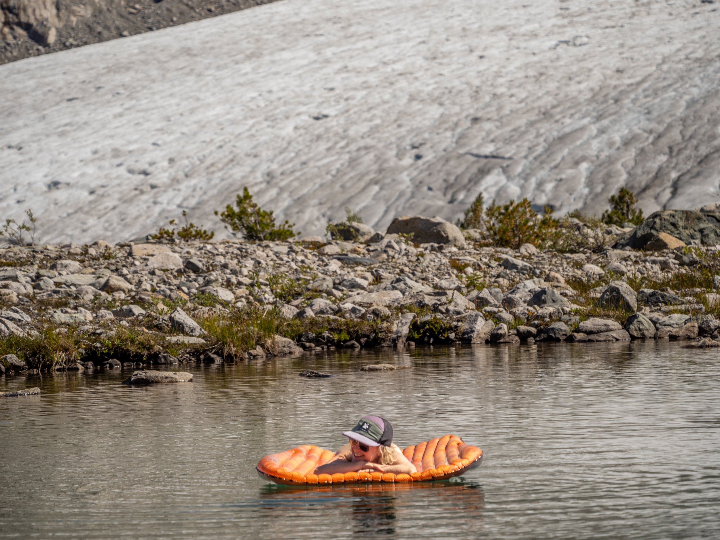
Lying on my back in the middle of a turquoise alpine tarn, the air mattress slowly drifting and spinning with the light breeze, I take in my surrounds with a quiet and complete sense of awe. Jagged grey granite peaks, a raw expanse of treeless alpine, towering moraines, and enormous glaciers rippled with massive crevasses frame the view to the east. The light breeze picks up slightly and gently spins my view around to the west. All possible shades of green slide into view, covering the hillside meadows that rise up, lined with cascading waterfalls splitting the slope. Above the bouquet of greens, an eerie and martian landscape looms above: the product of significant volcanic activity and mineral deposits that pulled intrepid miners to the region for over 100 years during the gold rush and subsequent boom. Reds to browns to jet black blend and fold into each other, creating a blurred watercolour painting of unique and interesting geologic forms.
As a pleasant shift from life before the trailhead, floating meant doing nothing at all: no notifications, no schedules just the gentle spin of the raft, watching the sun slowly descend towards the distant ridge. Backpacking feels like the same slow weightless drift, moving with the flow of the natural world surrounding you. Life before the trailhead can at times feel like a frantic swim upstream, or the chaotic churn down the rapids of Teams meetings, expedition logistics planning, social obligations, group chats, 2-factor authentication, Youtube gear review rabbit holes, and a rapidly expanding to-do list nipping at your heels.
A final push of trip organizing, food prep, gear lists, and ride coordination, and then you’re standing at the trailhead, eager to climb onto that raft and drift away from it all.
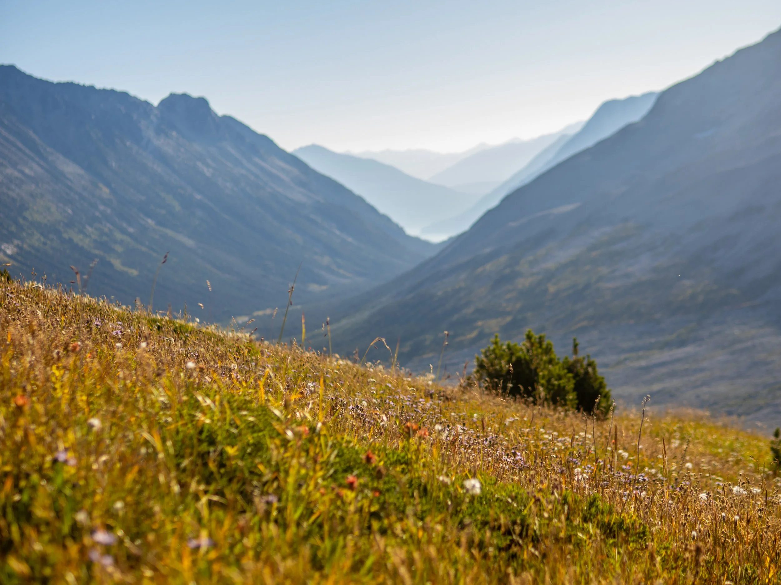
The tarn currently supporting this serene rotation sits at the col of Athelney Pass, deep in the Coast Range west of Pemberton. This particularly remote location is in the upper Lillooet River region west of Pemberton, host to remote hot springs, threatening volcanoes, and massive landslides. A place where civilization gives way to wilderness, with raw nature stretching unbroken for vast distances beyond the last winding turn of the dusty forestry roads.
Drifting on my little piece of alpine paradise, it felt like I was floating off the edge of the world.
Shan organized an exploratory mission up to Athelnay Pass the previous summer which Mary joined for, which sounded like a high quality though ambitious trip as a single nighter, based on the lengthy drive and significant approach hiking time. So a repeat was desired with a more leisurely itinerary, and time for side trips from base camp at the pass. Mary had talked very highly about the area in the classic Mary way of barely being able to control her excitement, all squeals and guttural moans of pleasure as she described the remoteness, ruggedness, and colour palette of the terrain. As an incredibly talented artist, she has a keen eye for the aesthetic of a landscape.
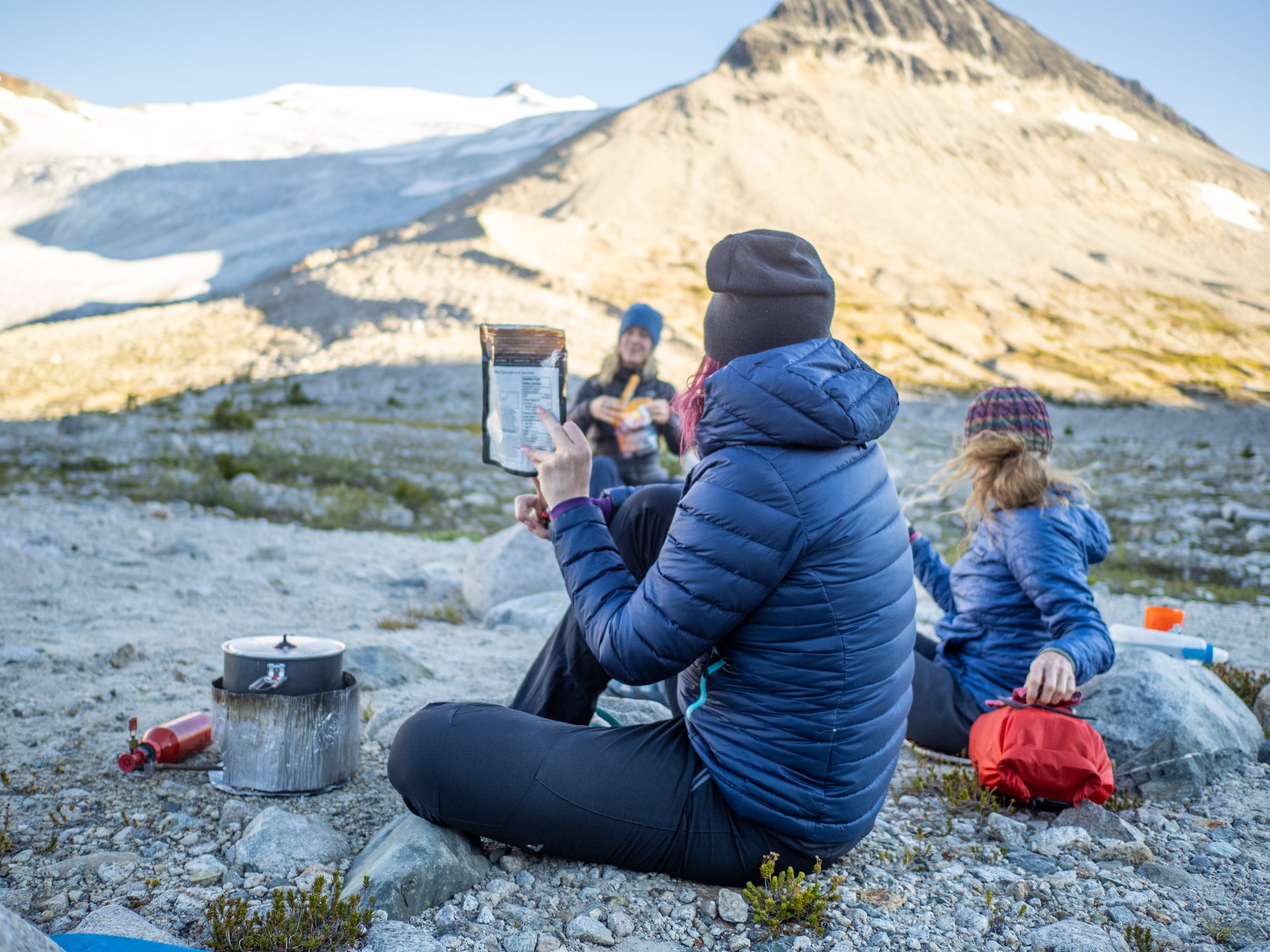
There was chatter about some more technical mountaineering objectives for those interested, which looked quite ambitious with some particularly uninspiring trip reports, but seemed worth a look. And so gear was packed, headlamps charged, maps downloaded, dehydrated meals rationed, bear spray readied, pre-rolls prepped, and critical apple fritter stores secured.
Plinth Peak, part of the Mount Meagre Massif, the site of Canada’s largest recorded landslide and a massive volcanic eruption ~2400 years ago. Another major event could have dire consequences for Pemberton and the region.
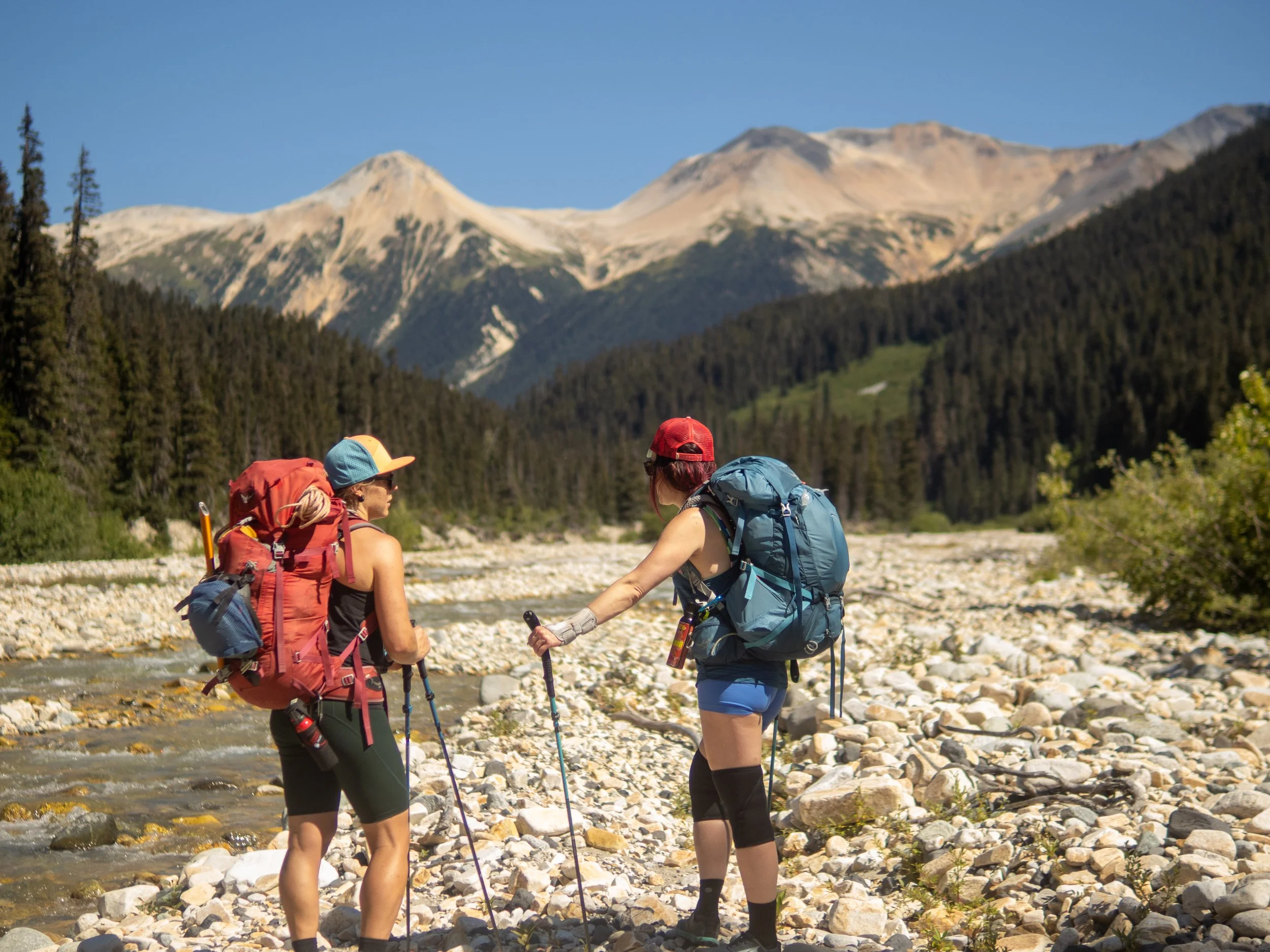
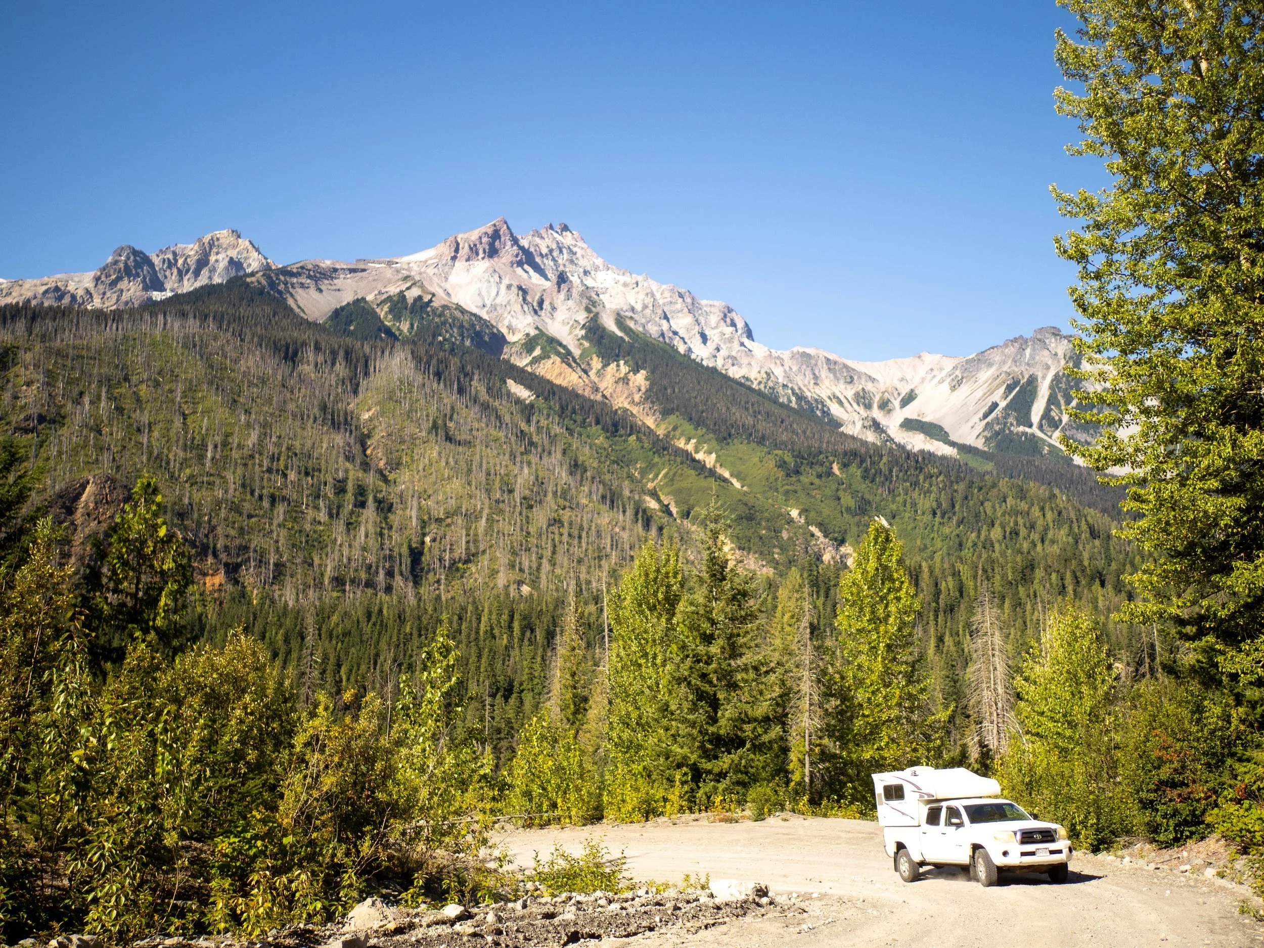
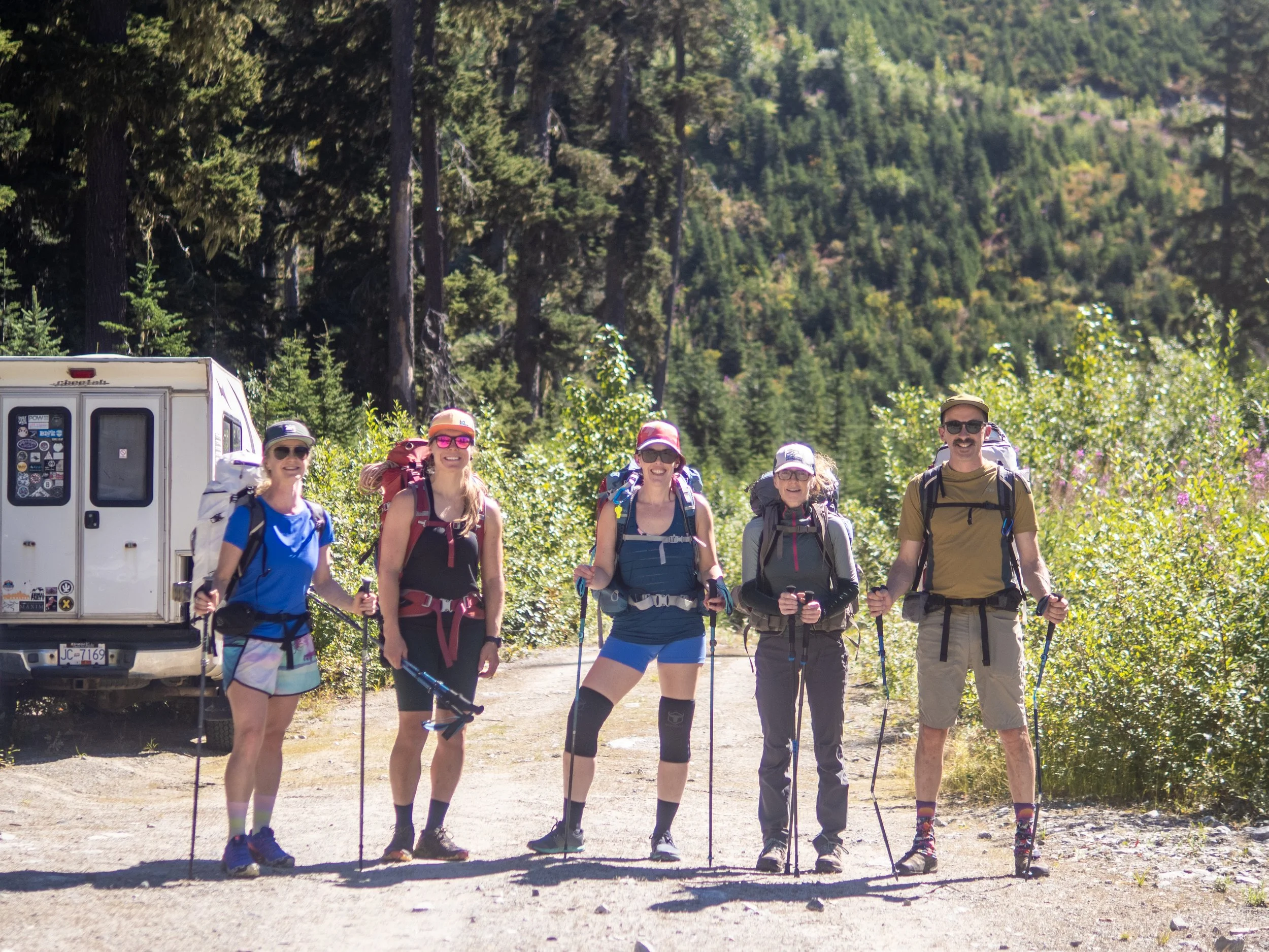
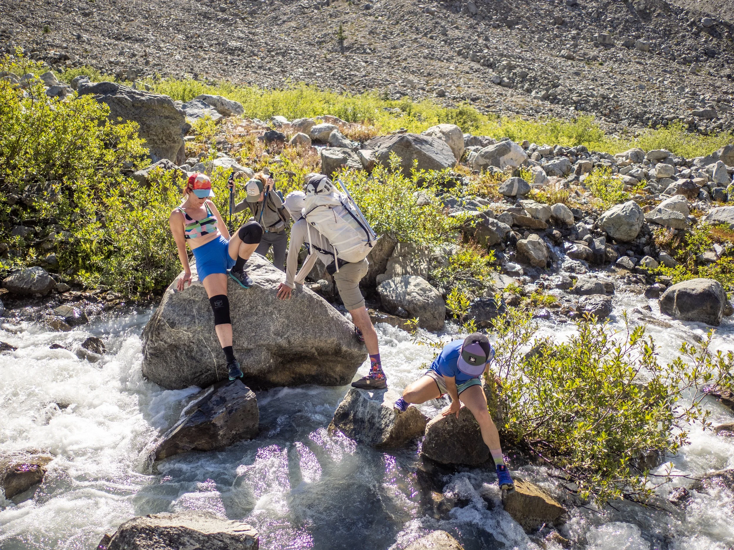
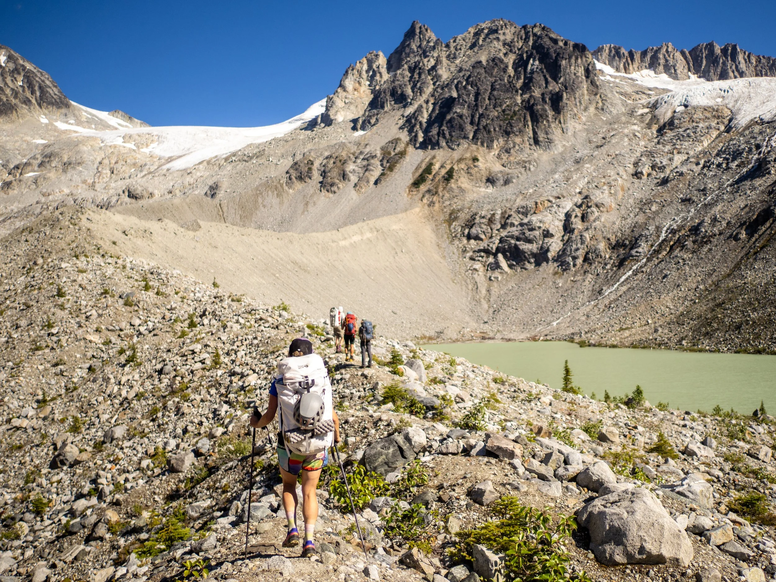
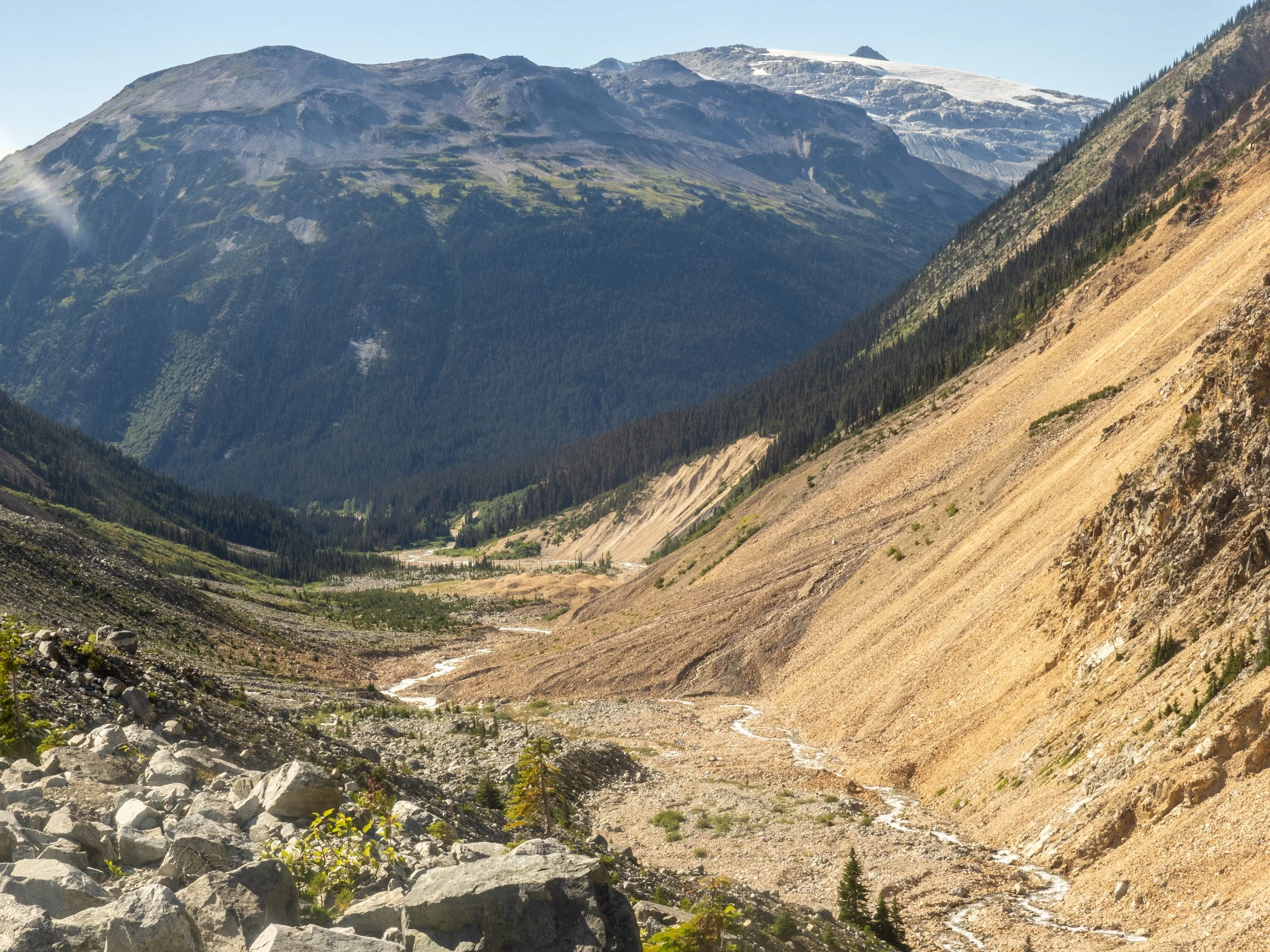
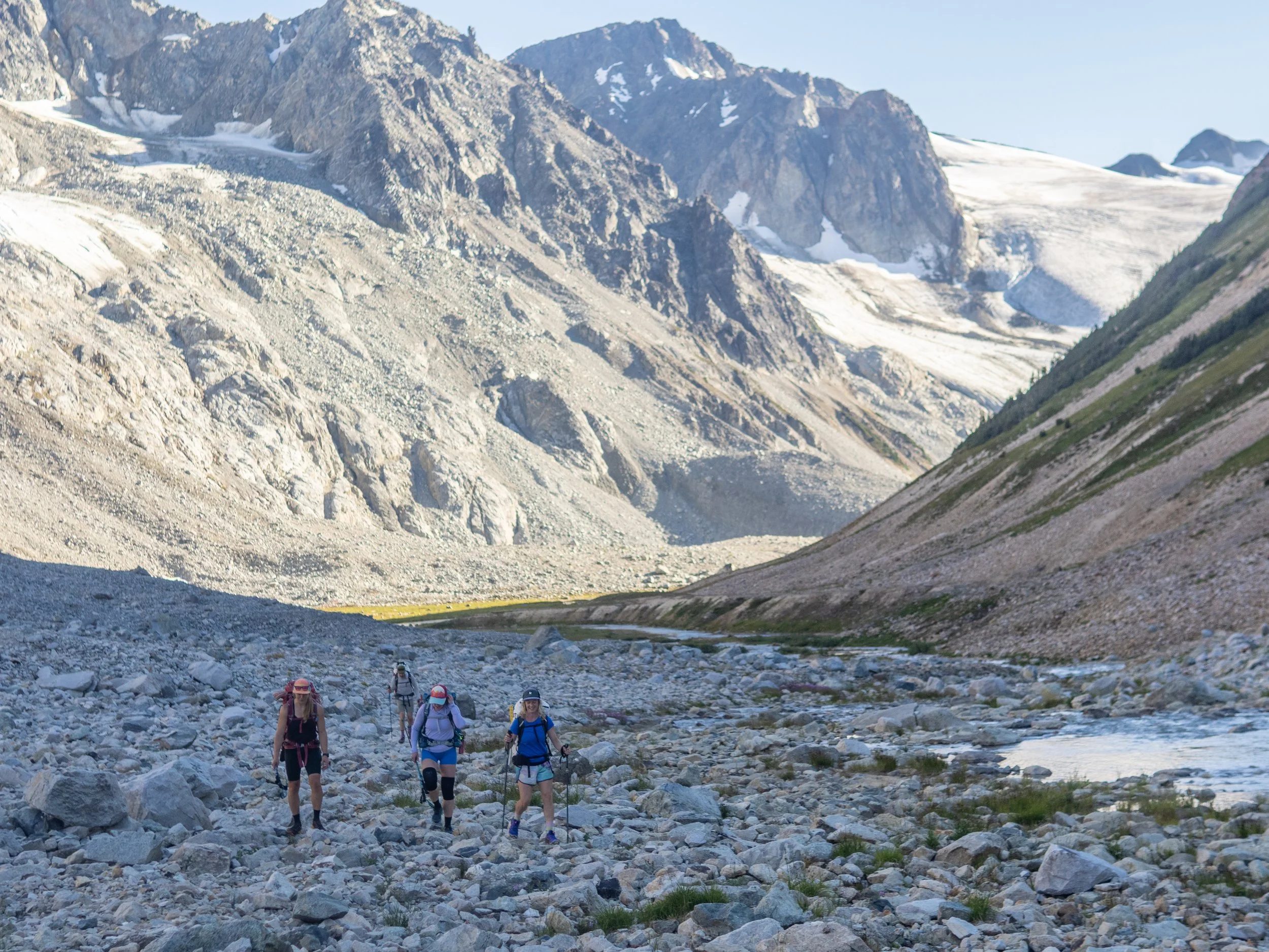
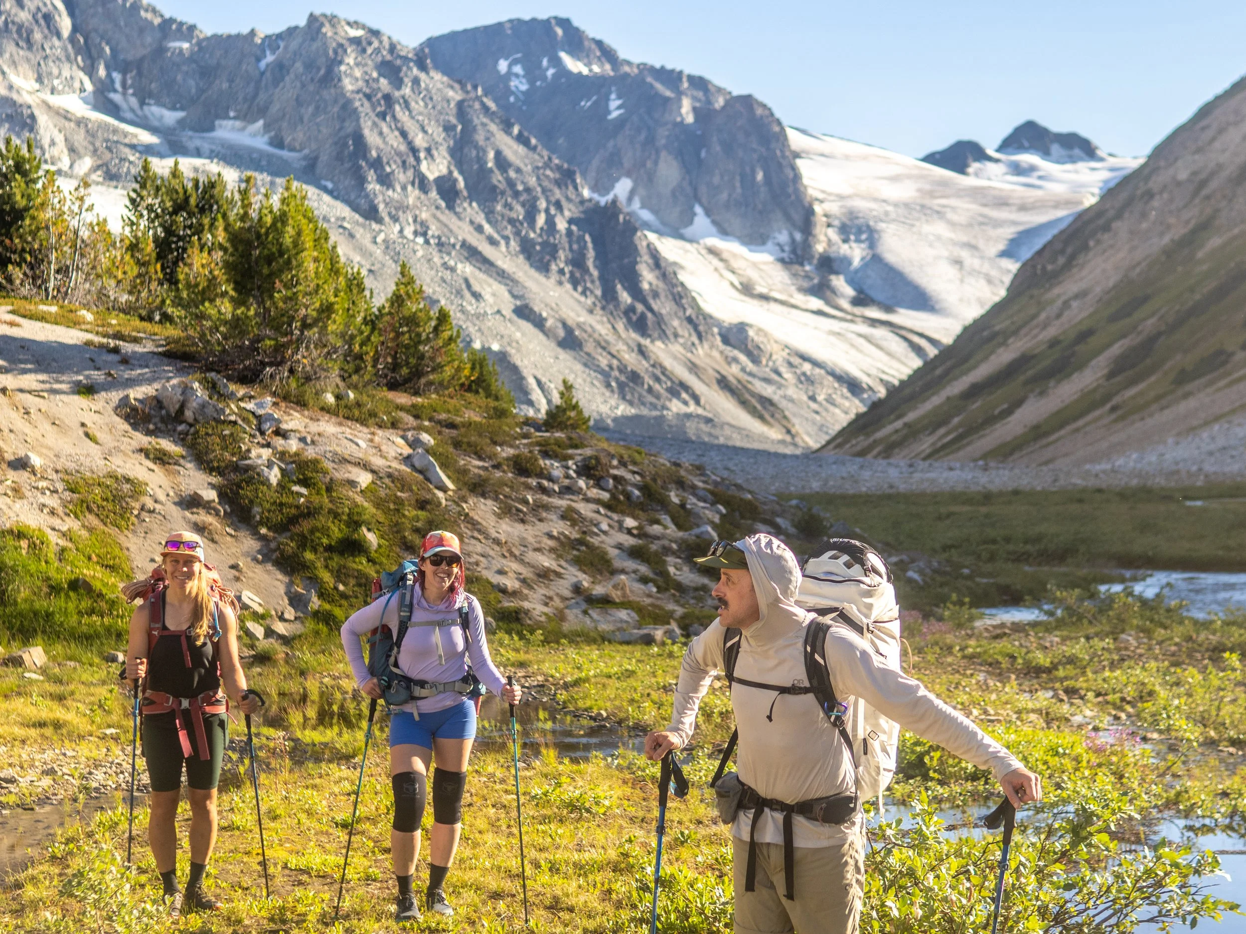
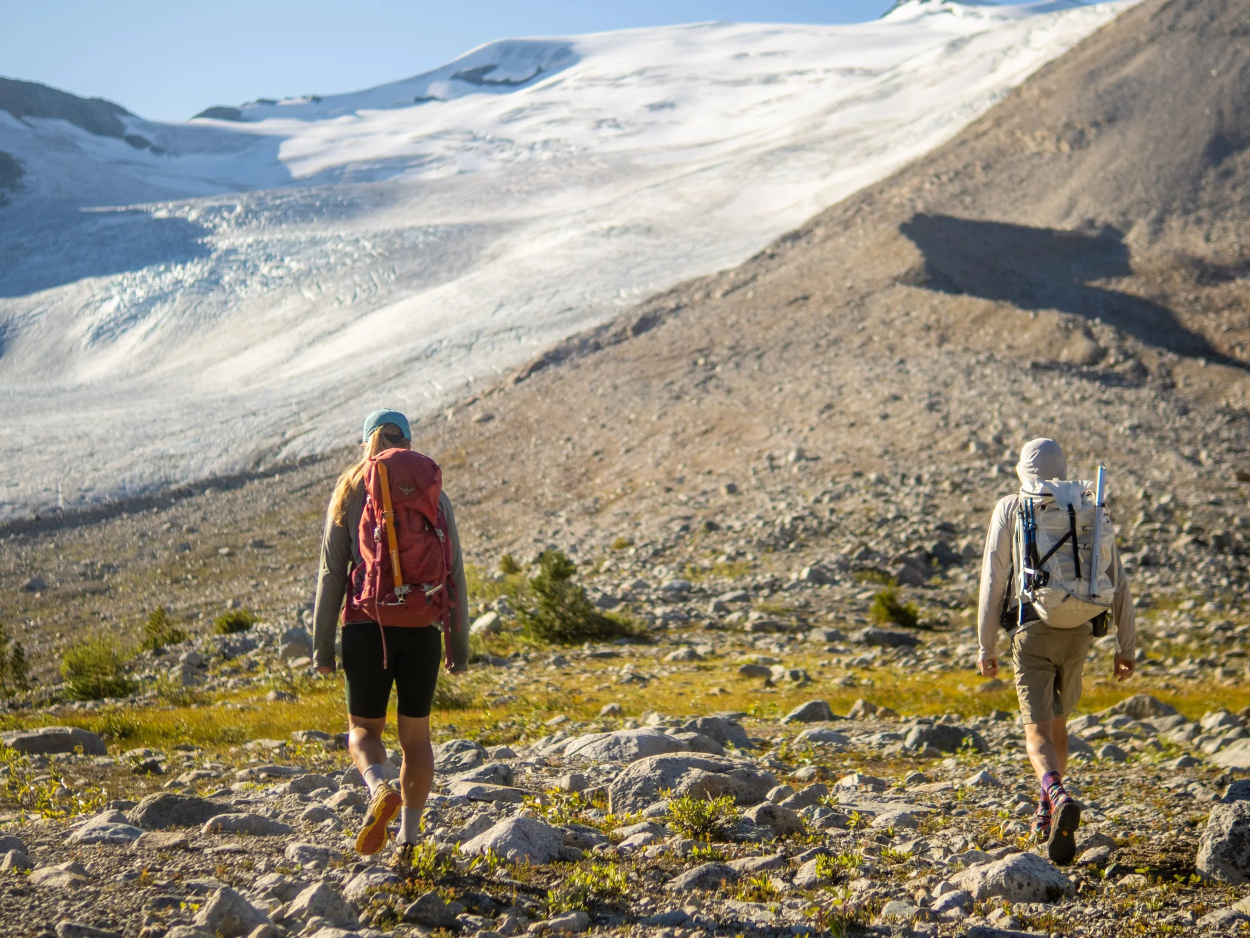
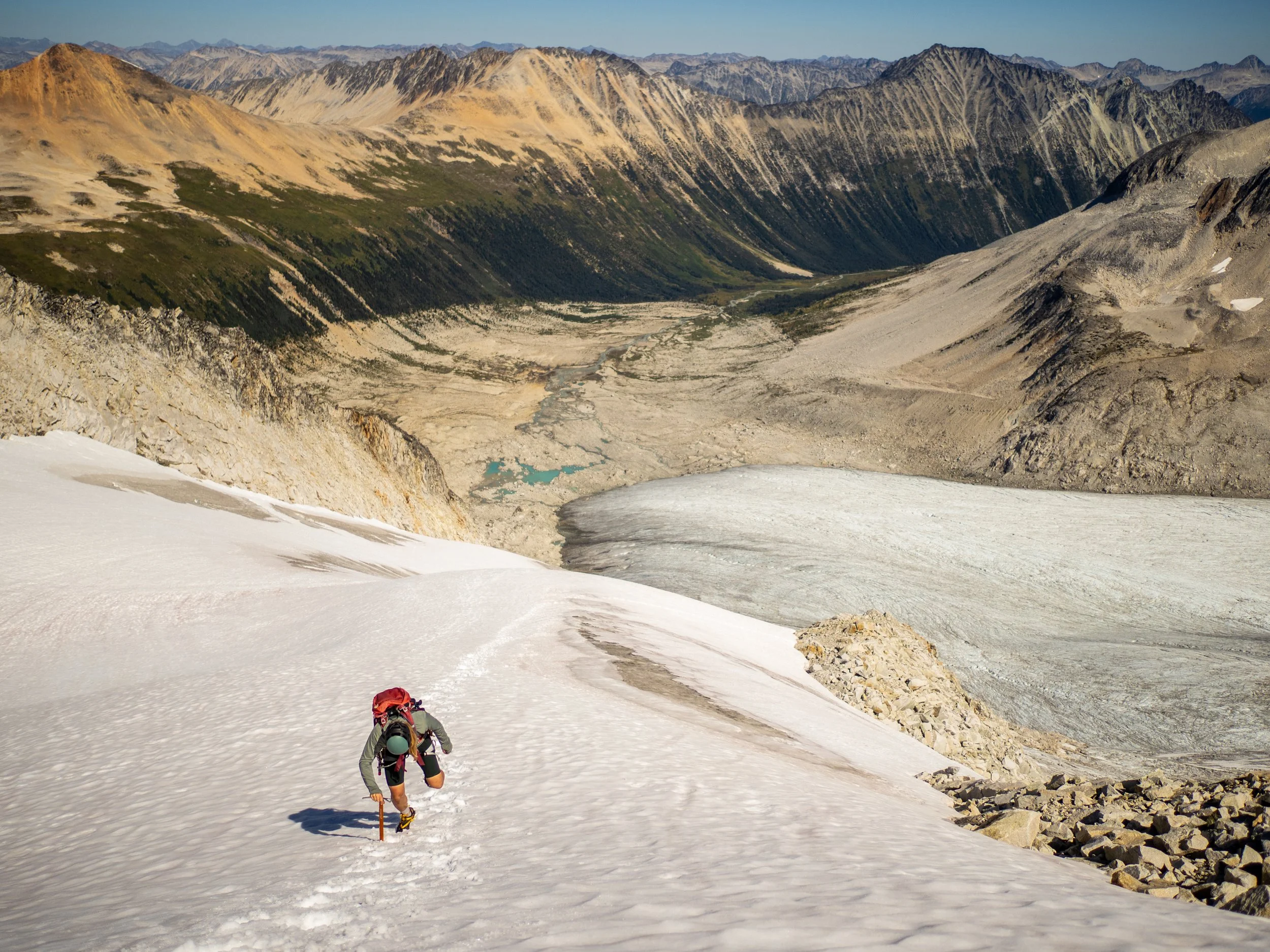
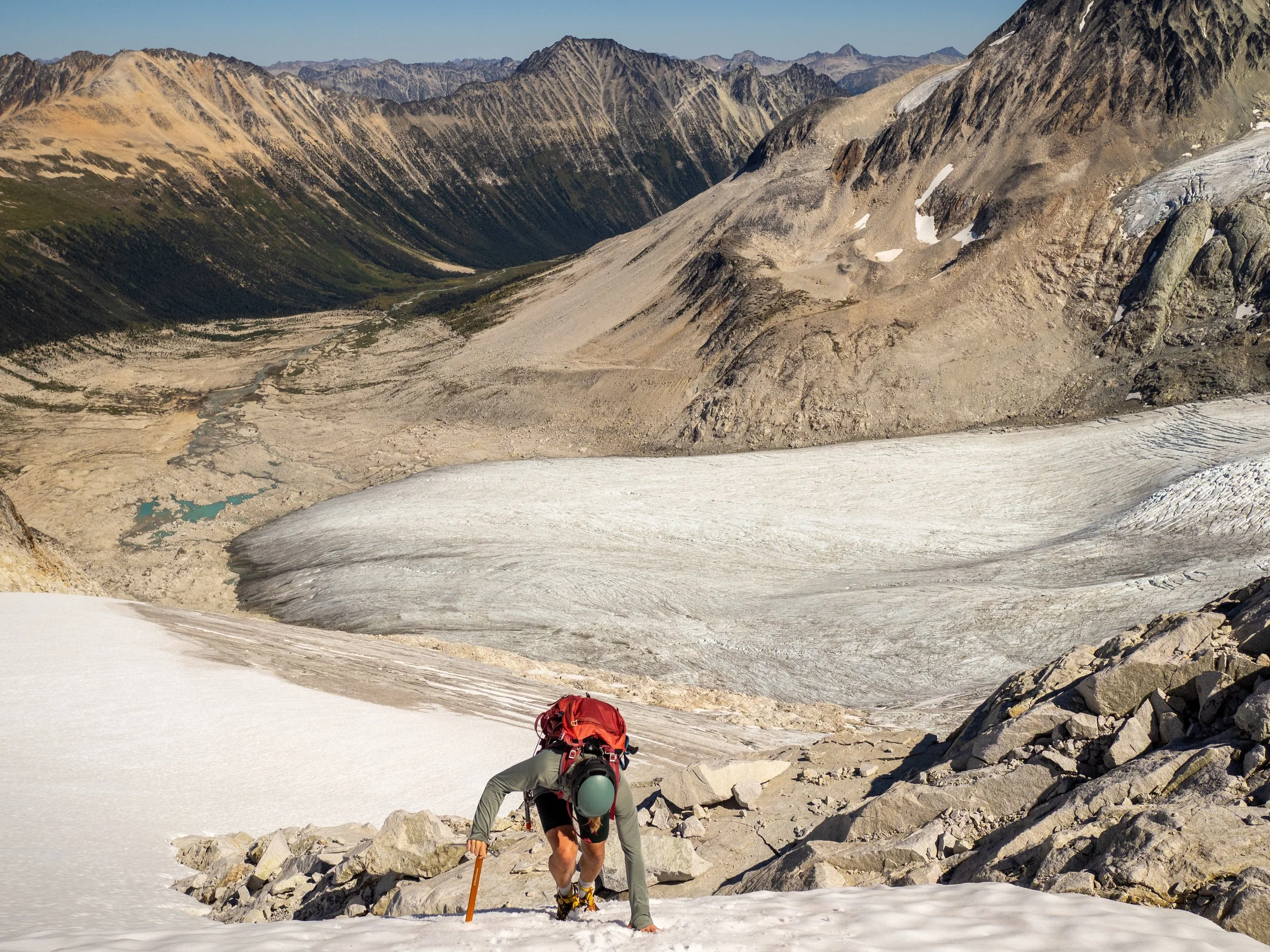
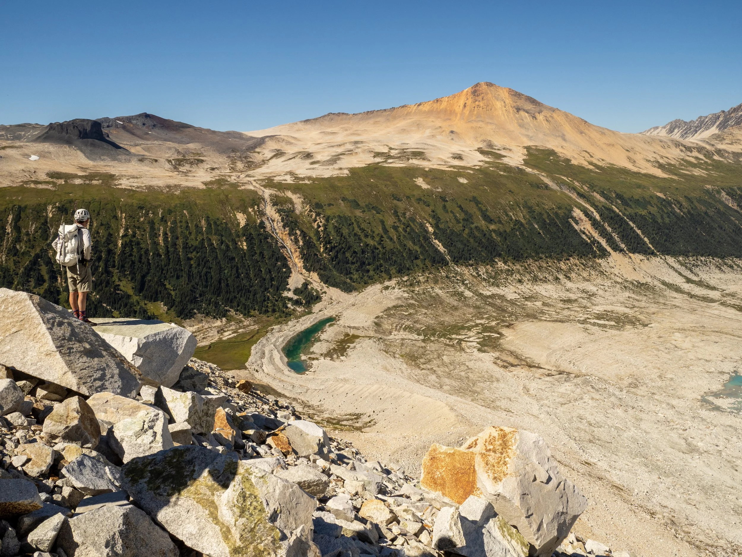
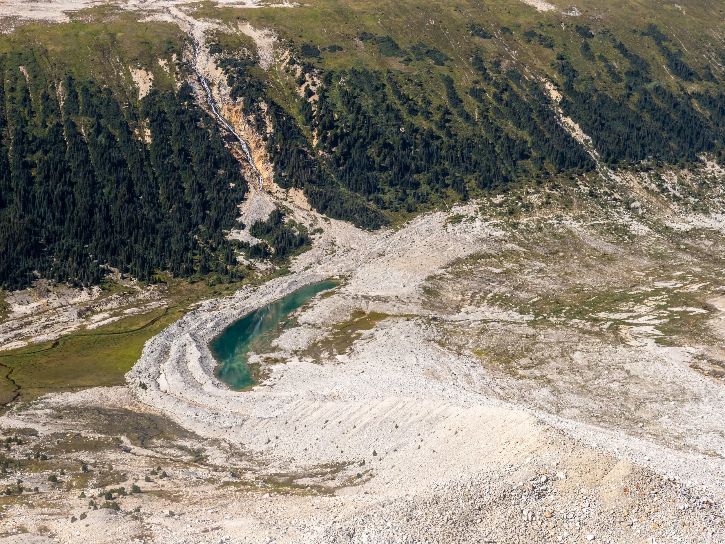
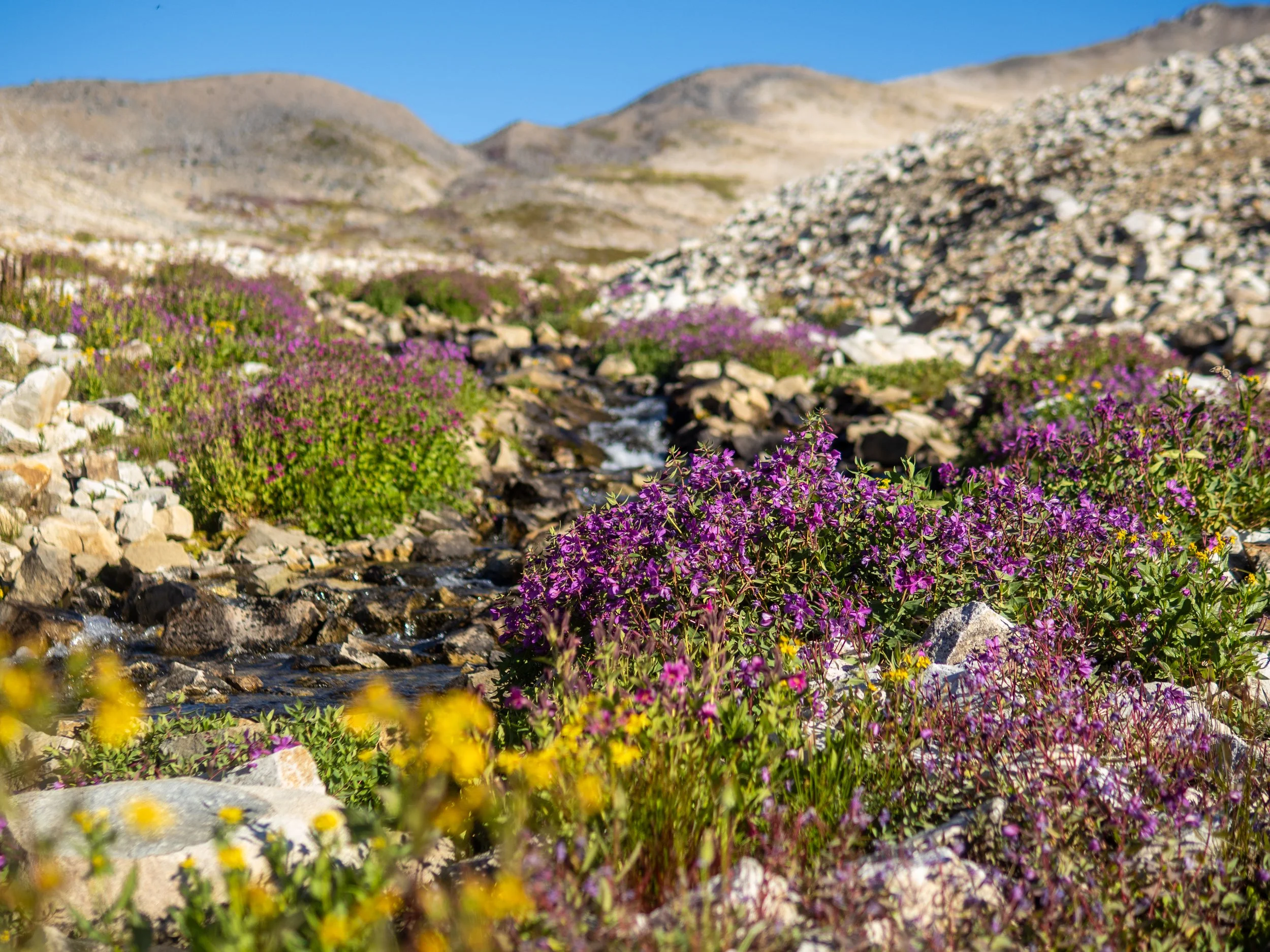
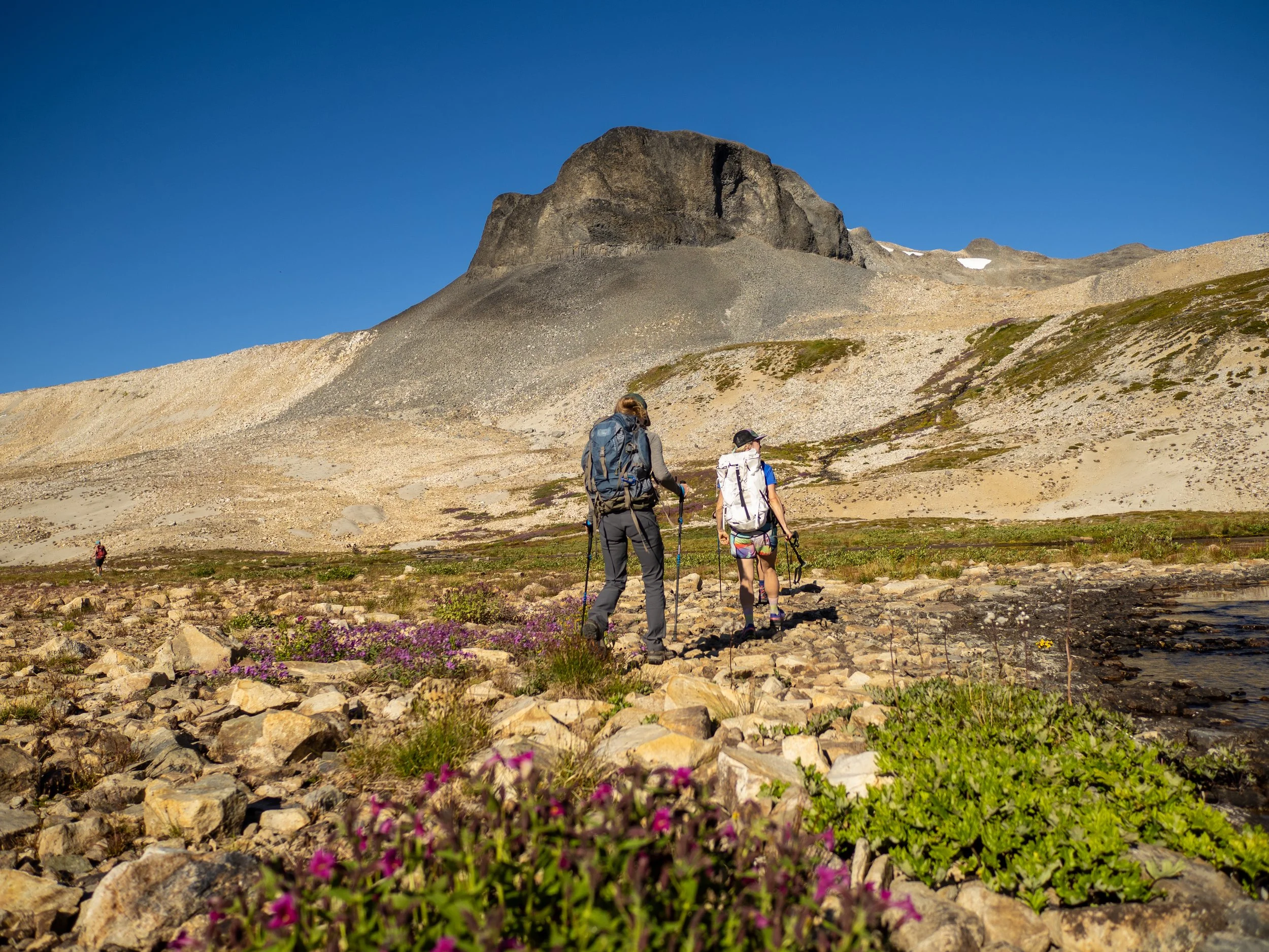
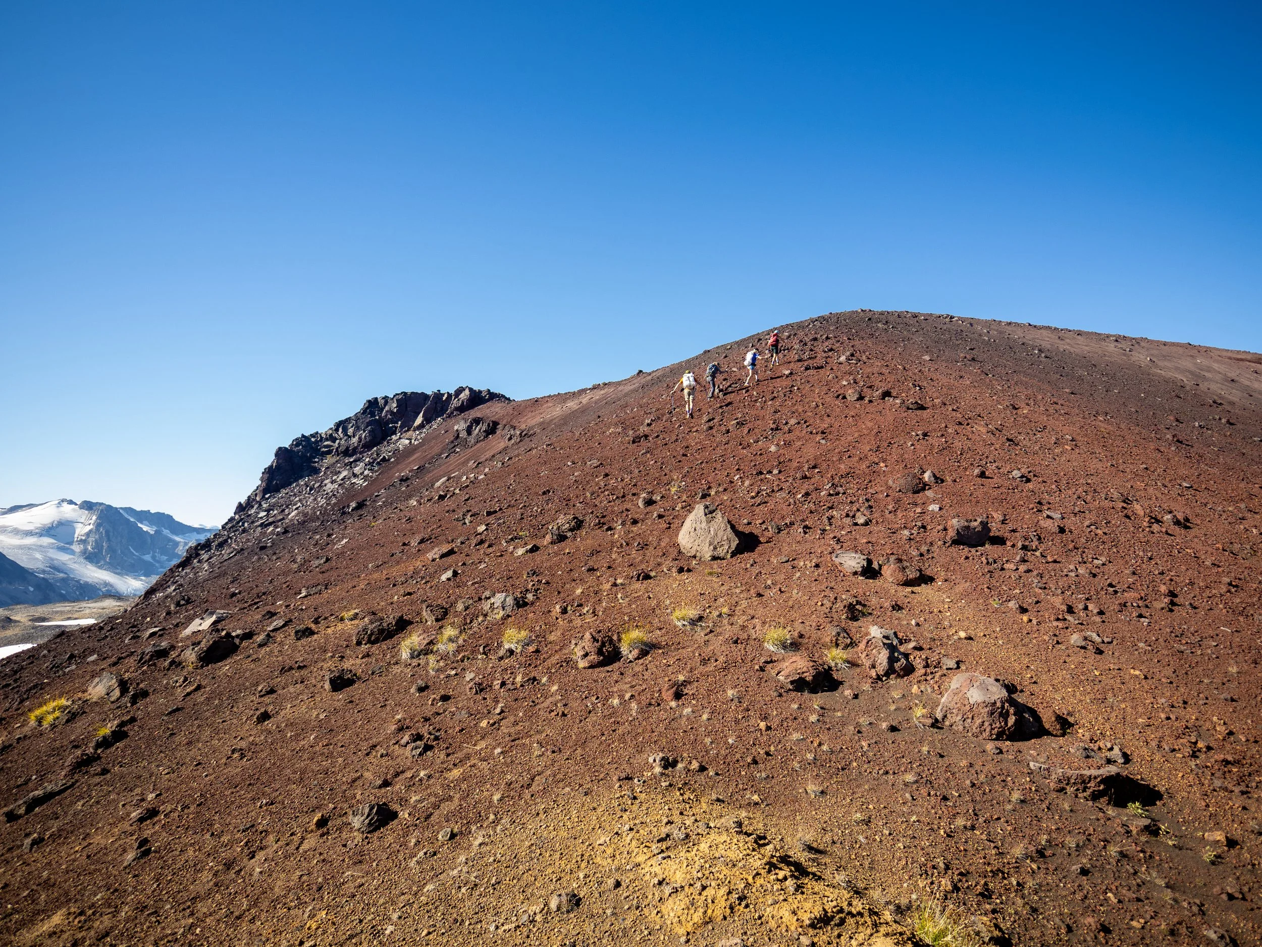
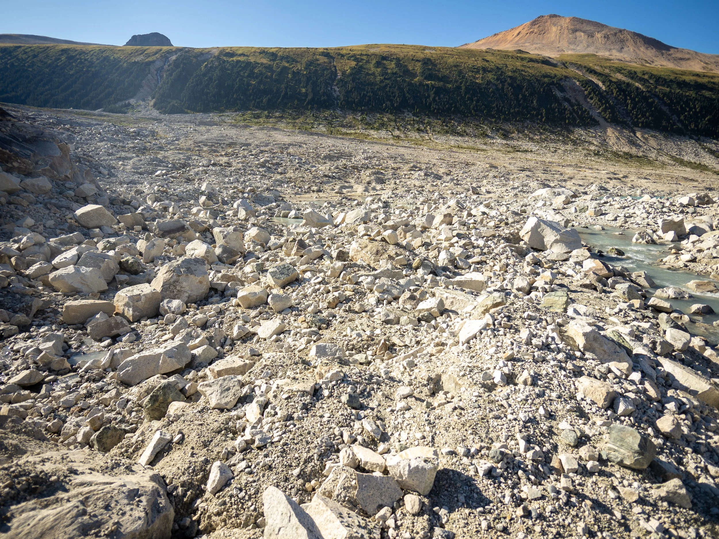
There’s not much for trails out here, so the 16km journey out from the truck to the pass at 1850m trundles through a clearcut fields of overhead fireweed, then pops out on Salal Creek where you try to stay on the riverbank as much as possible until you’re forced into the forest where a very rudimentary old trail has you weaving up, over, and around dense forest as frustration builds before stumbling back out onto the creek.
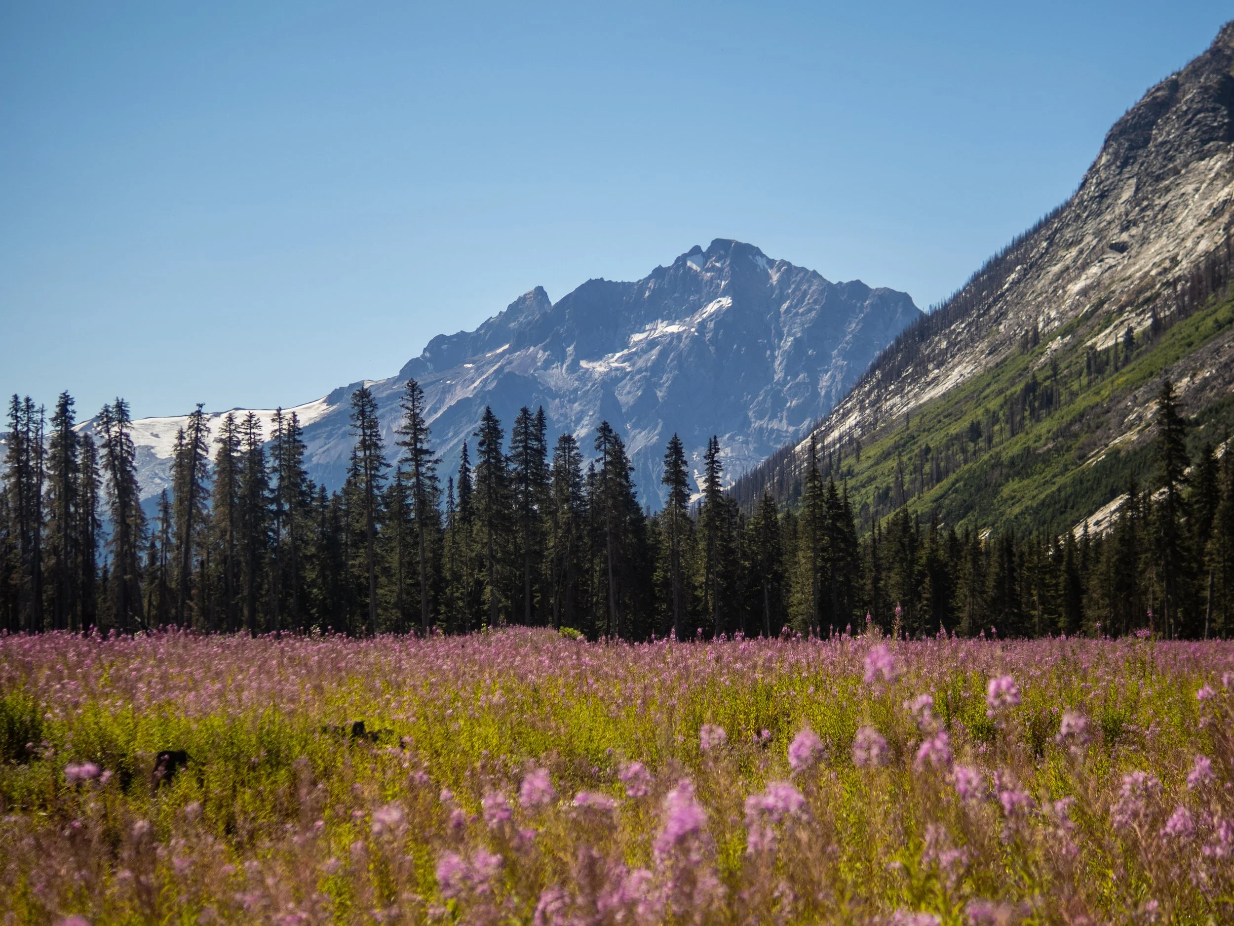
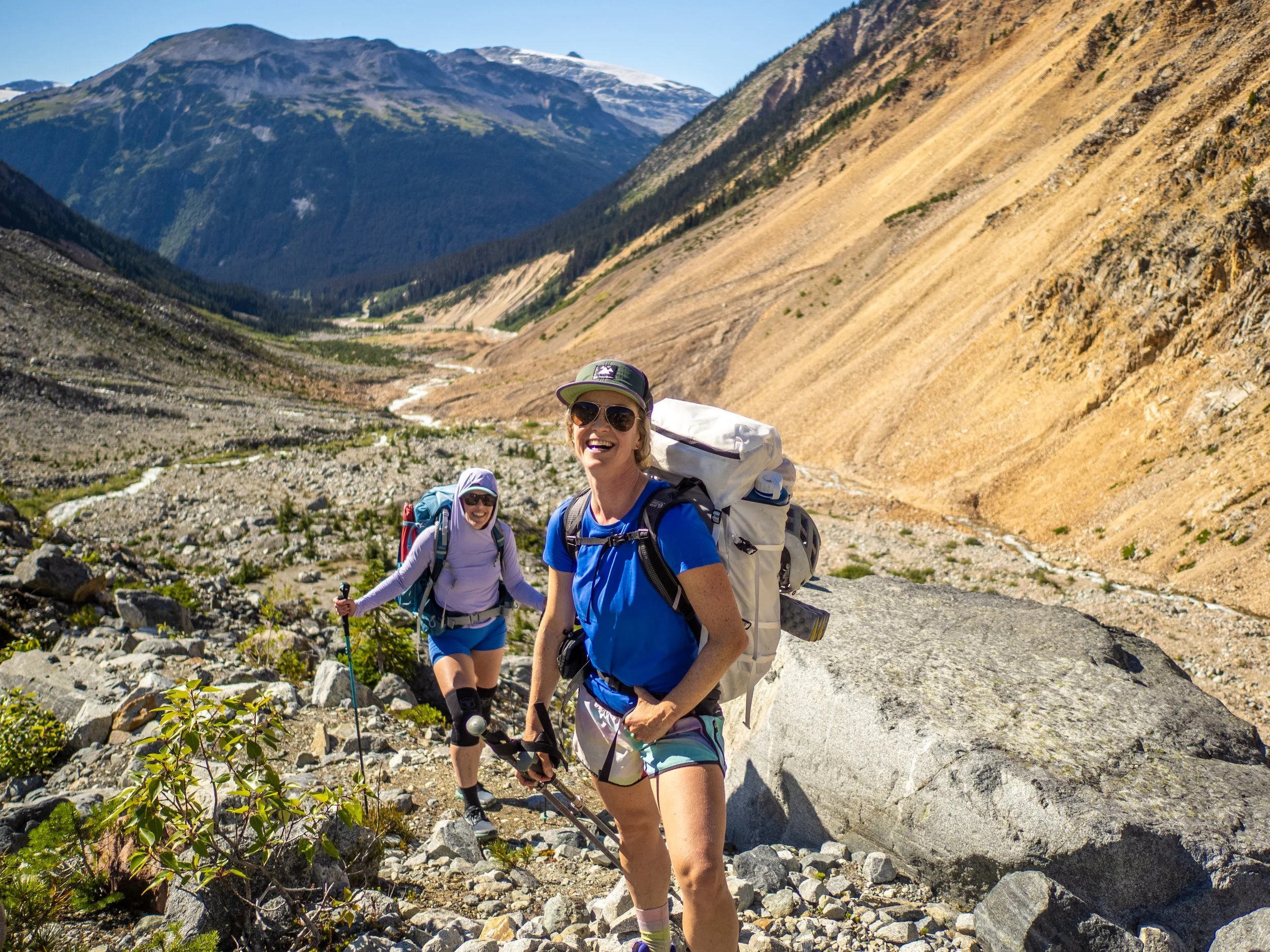
It’s physically easy, and the stoke was high, so it didn’t feel like long before we broke out of the lower forested elevations into the alpine, where we were immediately treated to a taste of what that this incredible valley has to offer. On the left across the Salal, an imposing ochre wall of crumbling rock chutes and spines, and on the right, enormous glacial moraines, jagged granite butresses and peaks, and blanketing glaciers draining noisy cascades of runoff down into beautiful waterfalls and streams.
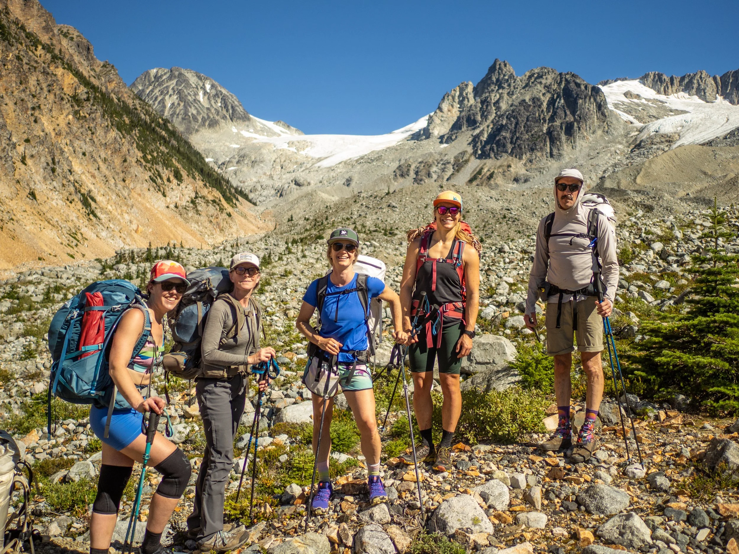
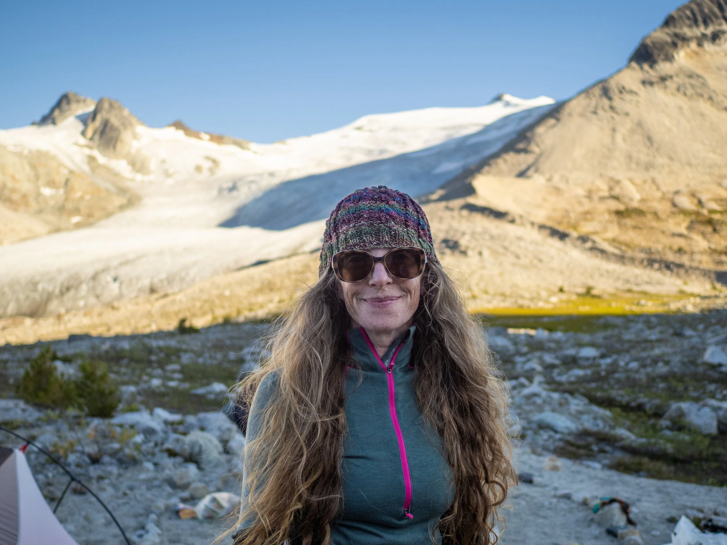
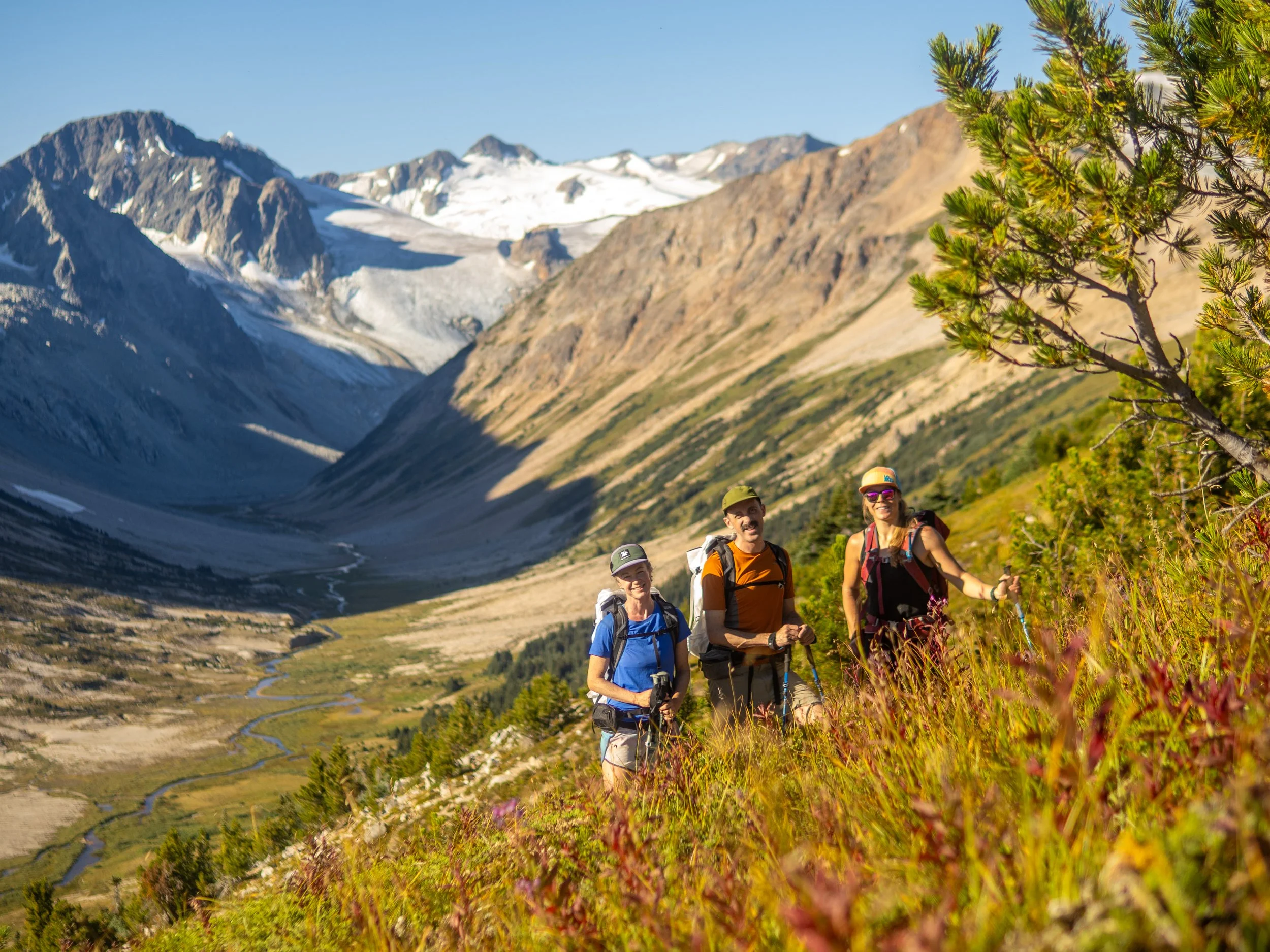
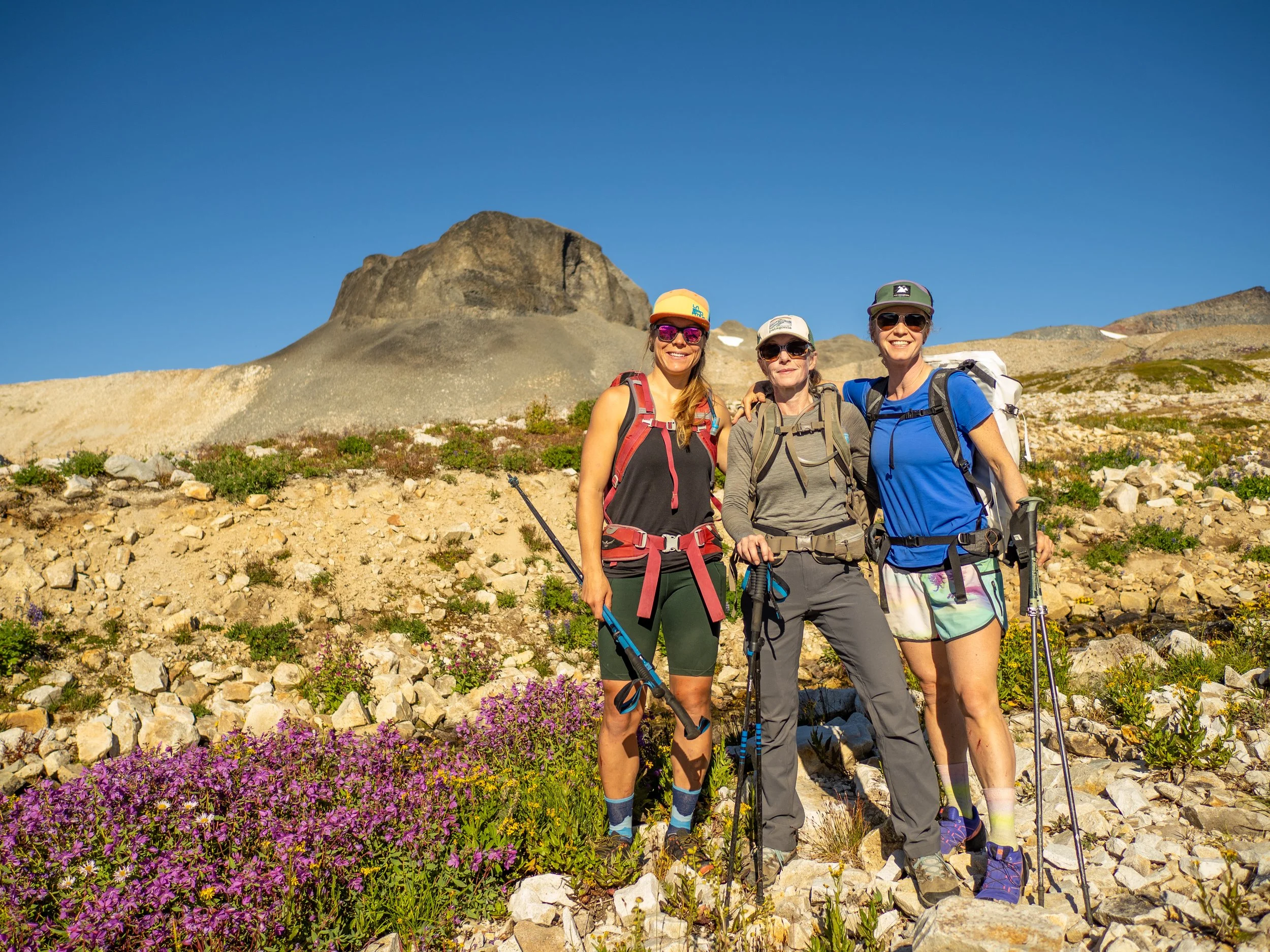
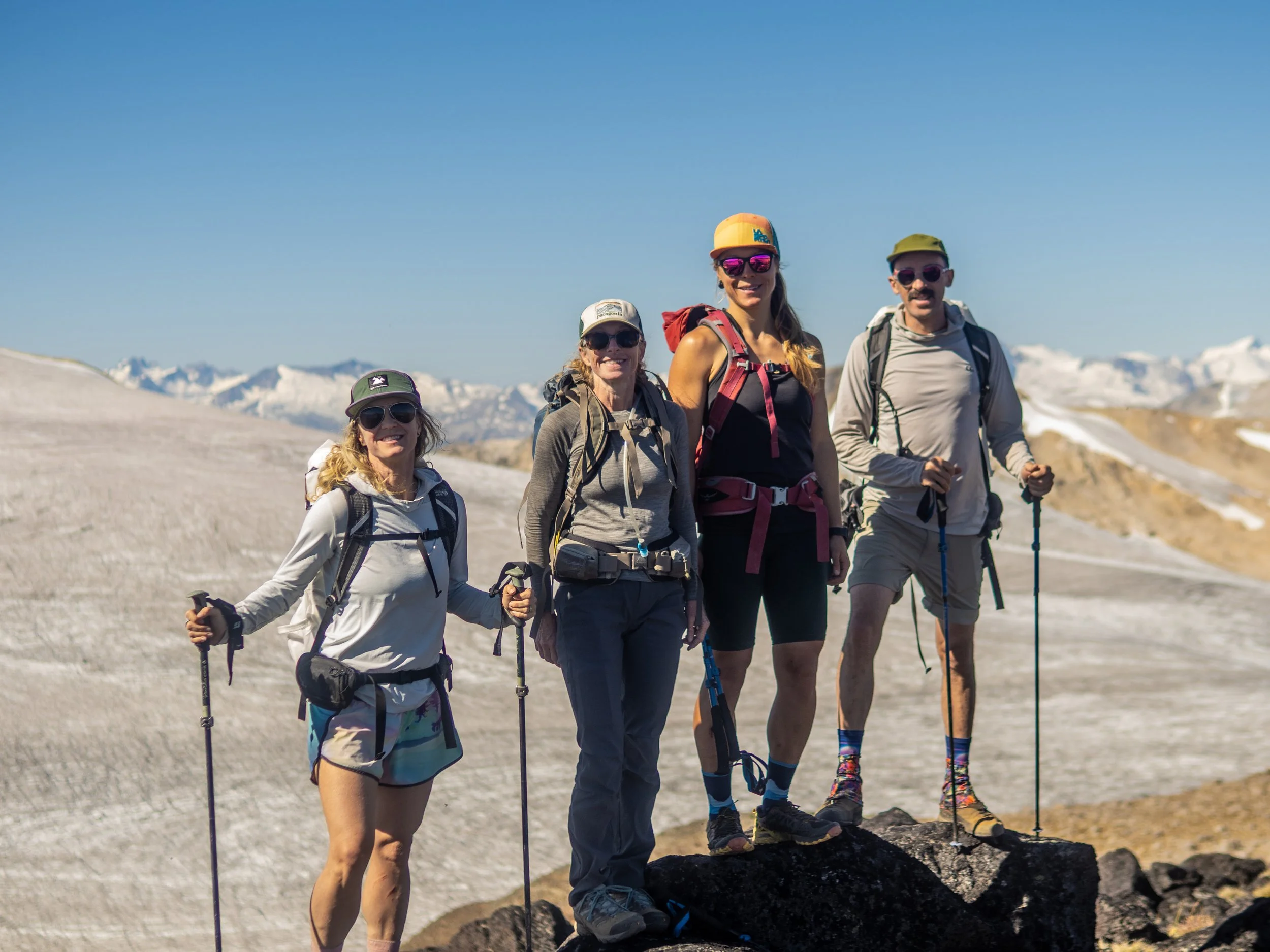
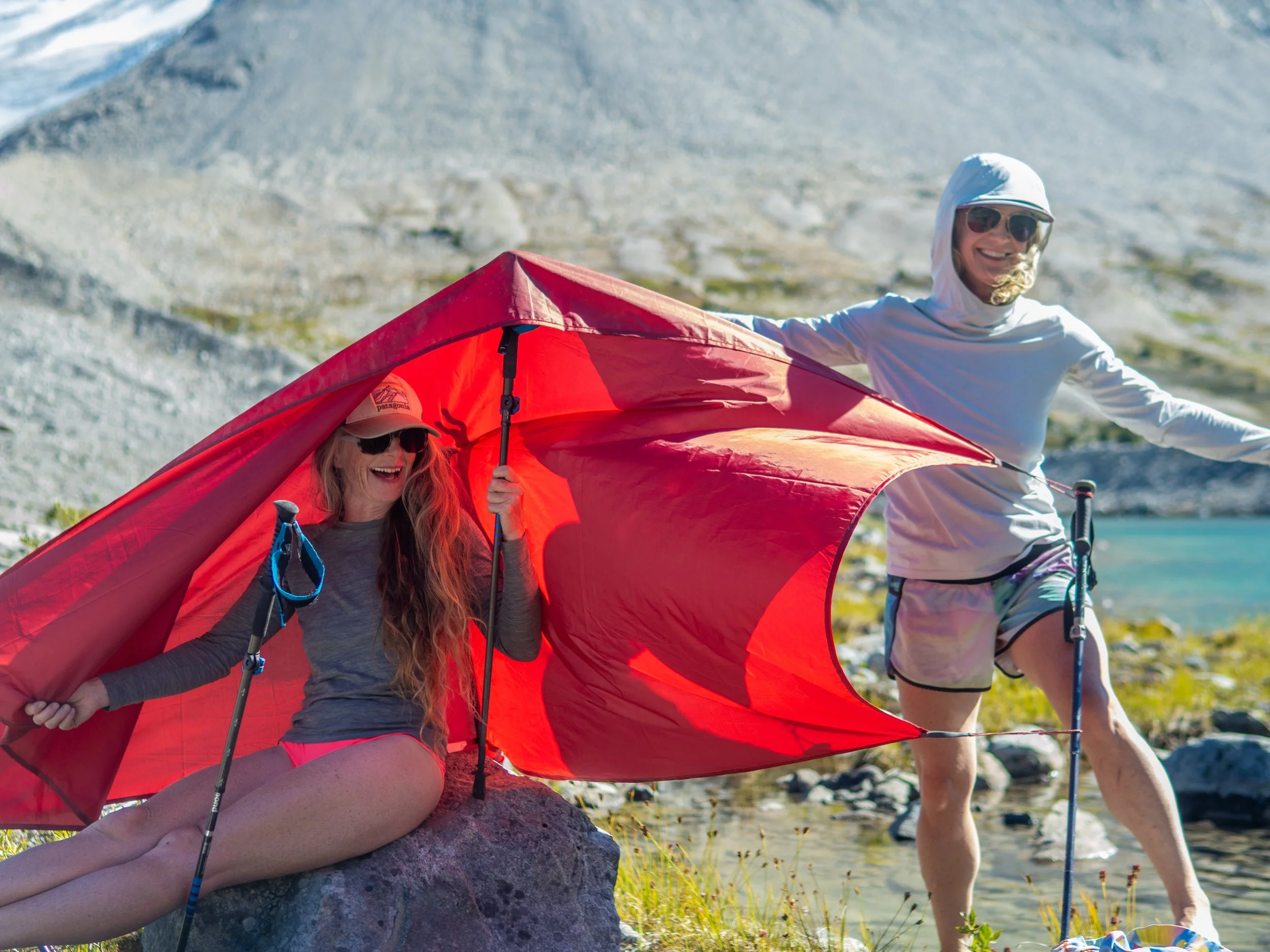
We had an outstanding crew for the trip, including Mika “Also typically thinking about skiing while hiking” Davis, mega inspiring eco activist biologist extraordinaire Laura Yates, Mary “Peptide” Pines, Shan “Bring the” Payne, and Jem “Fuck yeah it frits!” Morrison coming together. All solid, positive, constantly entertaining people, and wonderful to spend a few days drifting around together in total solitude.
That’s a tall moraine!
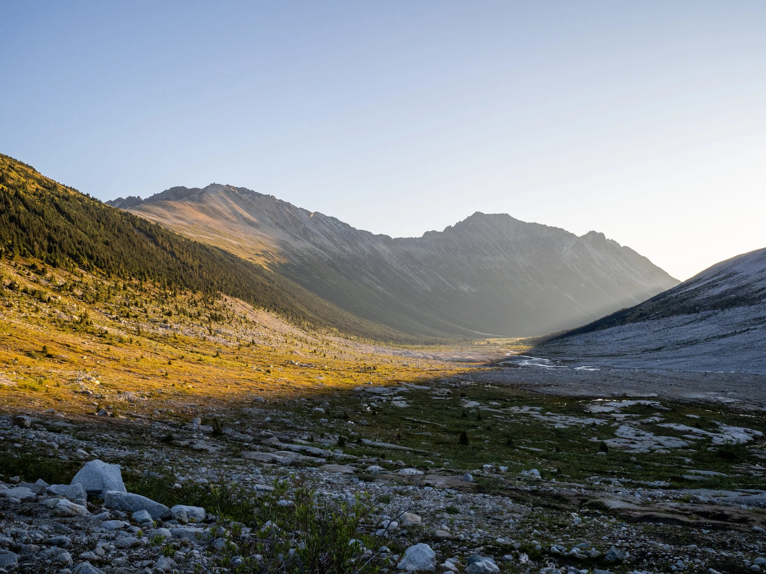
Looking back the way we came up Salal Creek
Getting closer!
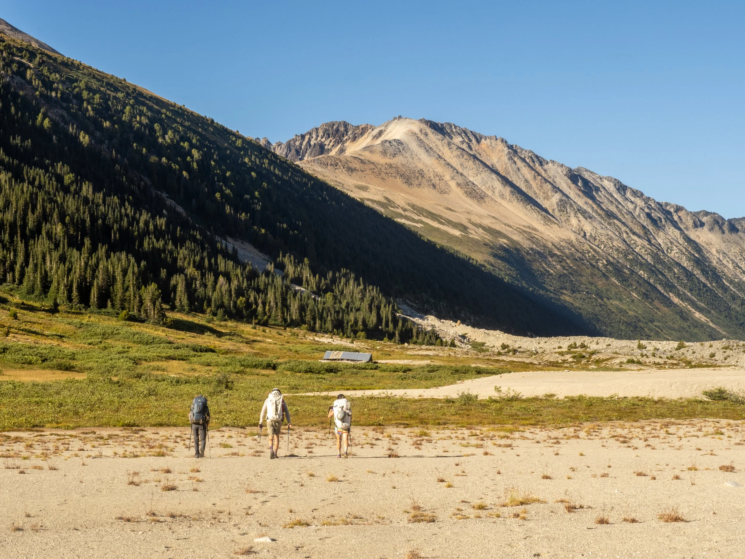
Up in the pass, with the remains of an old mining exploration camp bunkhouse slowly crumbling into the earth
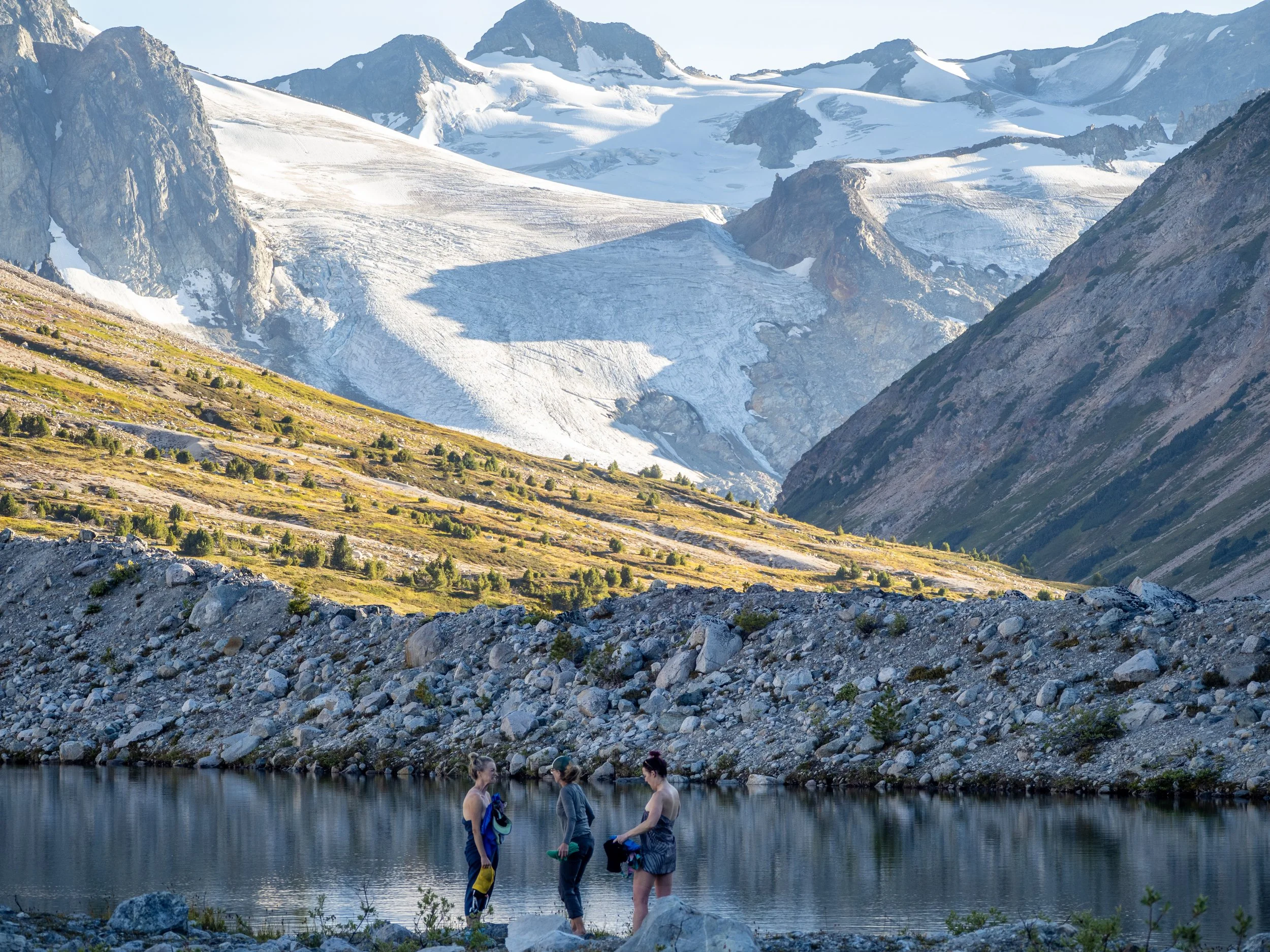
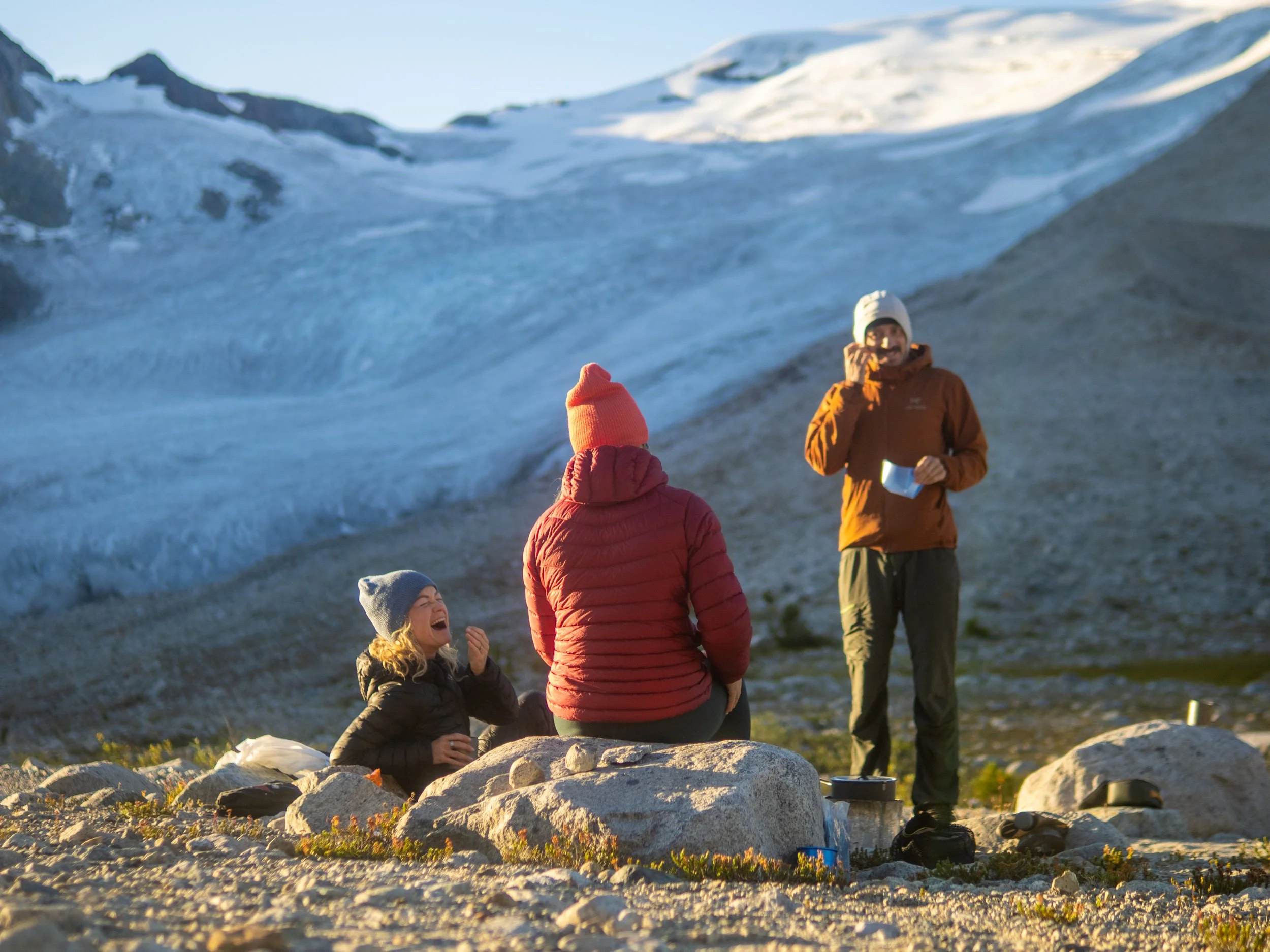
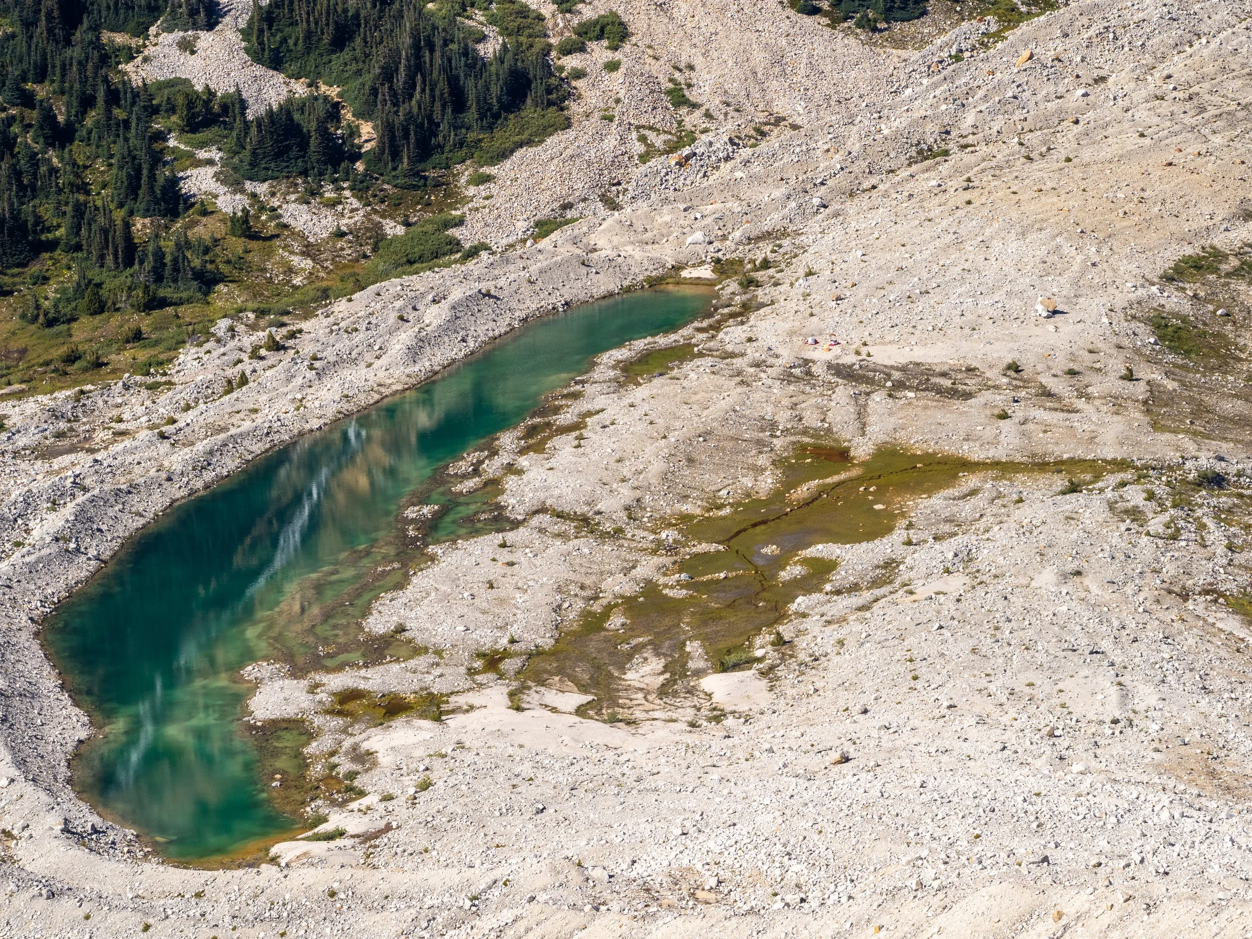
At our destination, enjoying a post hike dip at our lakeside campsite.
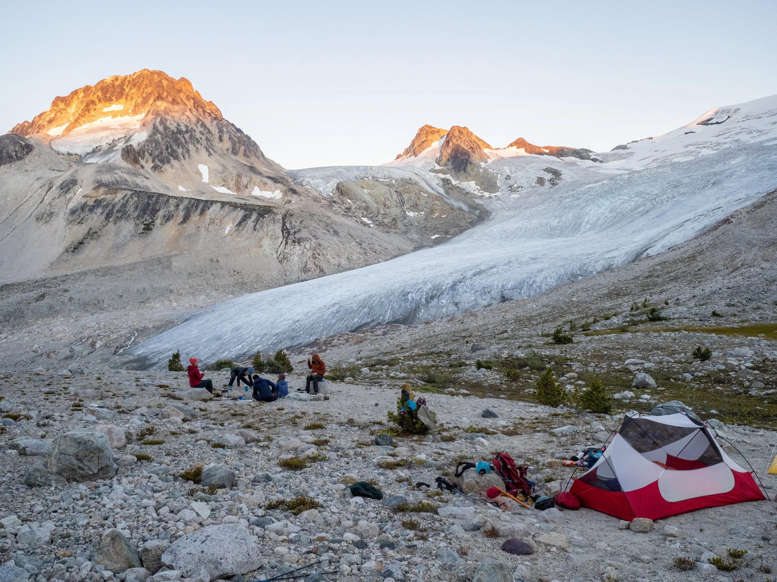
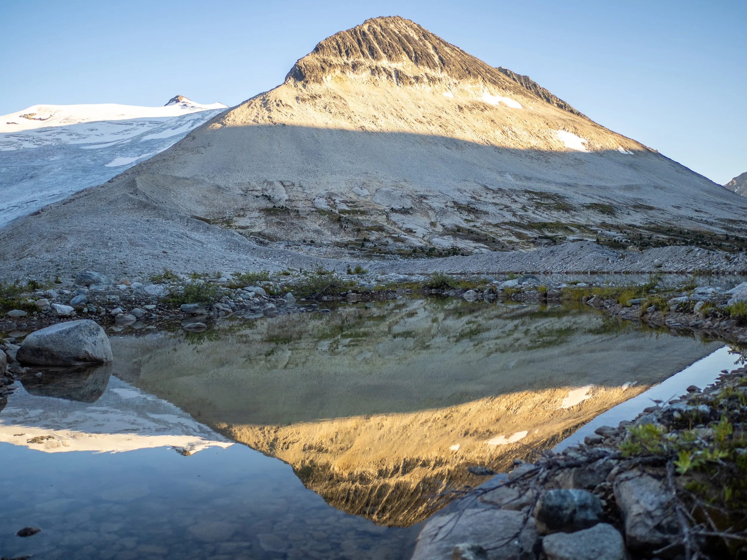
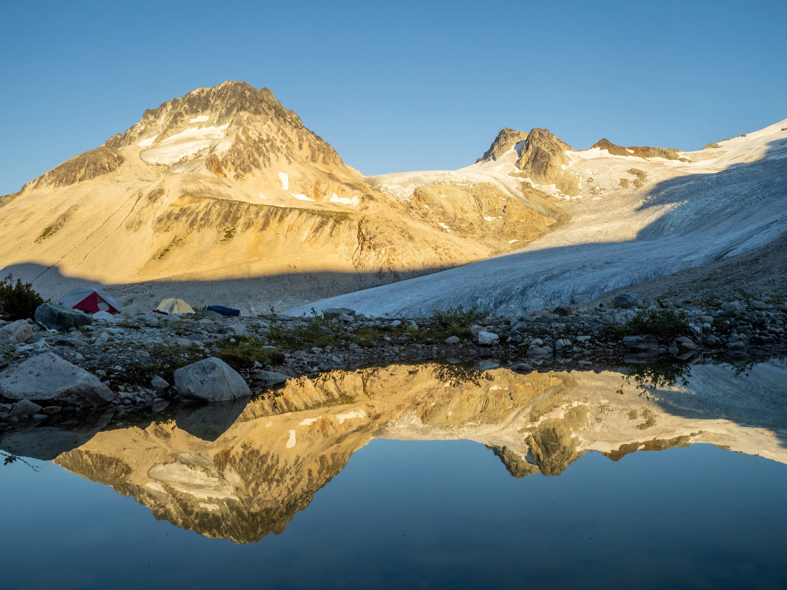
Camp Athelney, with stunning views of the Icemaker Glacier, and Mount Etherweard
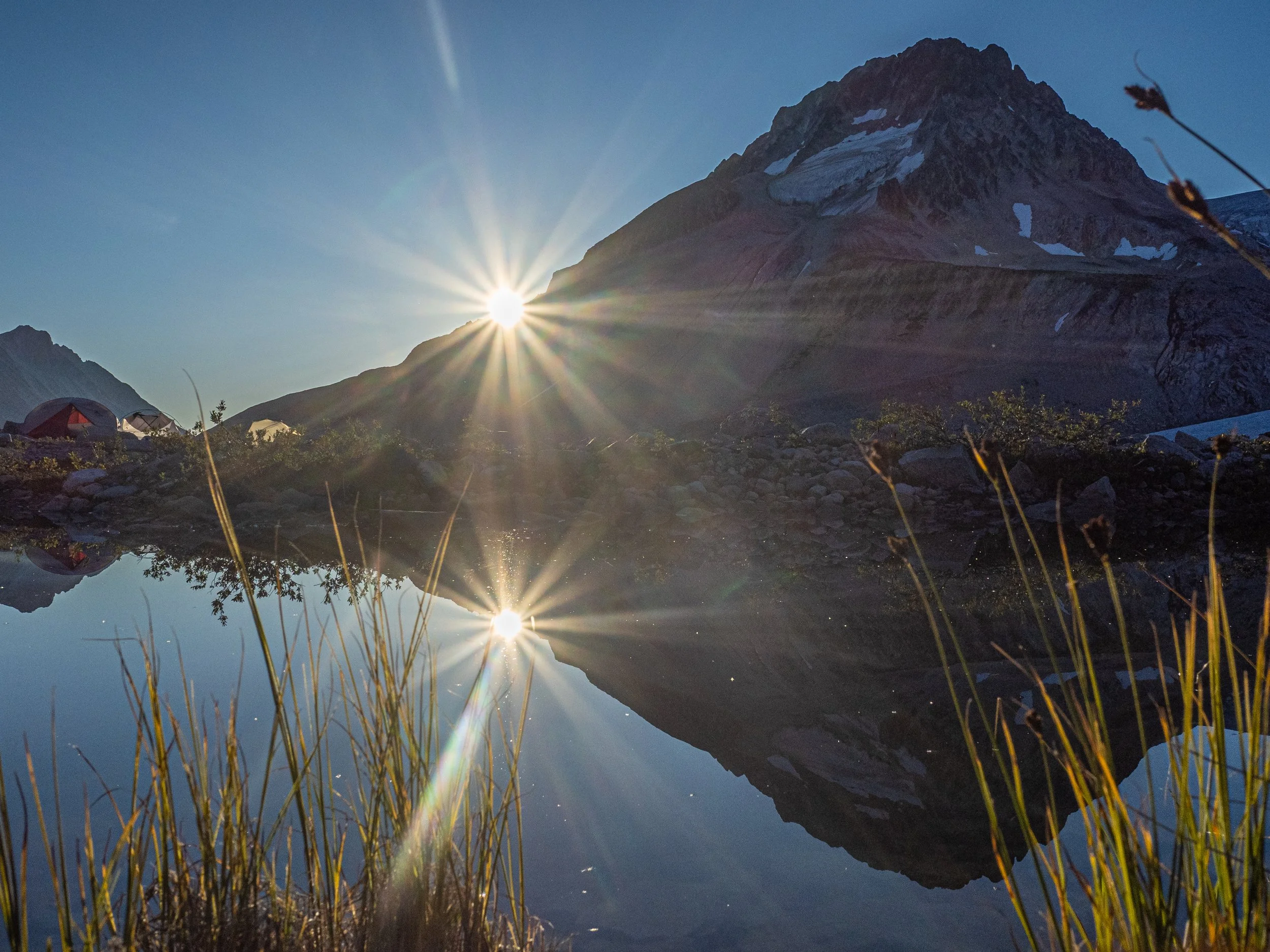
Morning sun breaking into Athelney Pass
Shan had scouted some alpine objectives in the area, but as mentioned, the trip reports we reviewed were not inspiring. The main objective in the area is looming Mount Ethelweard, one of the tallest in southwest BC, gazing down at us uncaring at camp looking like the messy choss chutey bad time. Summits are generally attempted early in the season as you can kick steps in snow up one of the main chute. At this time, in mid-August, with no snow it looked absolutely terrible!
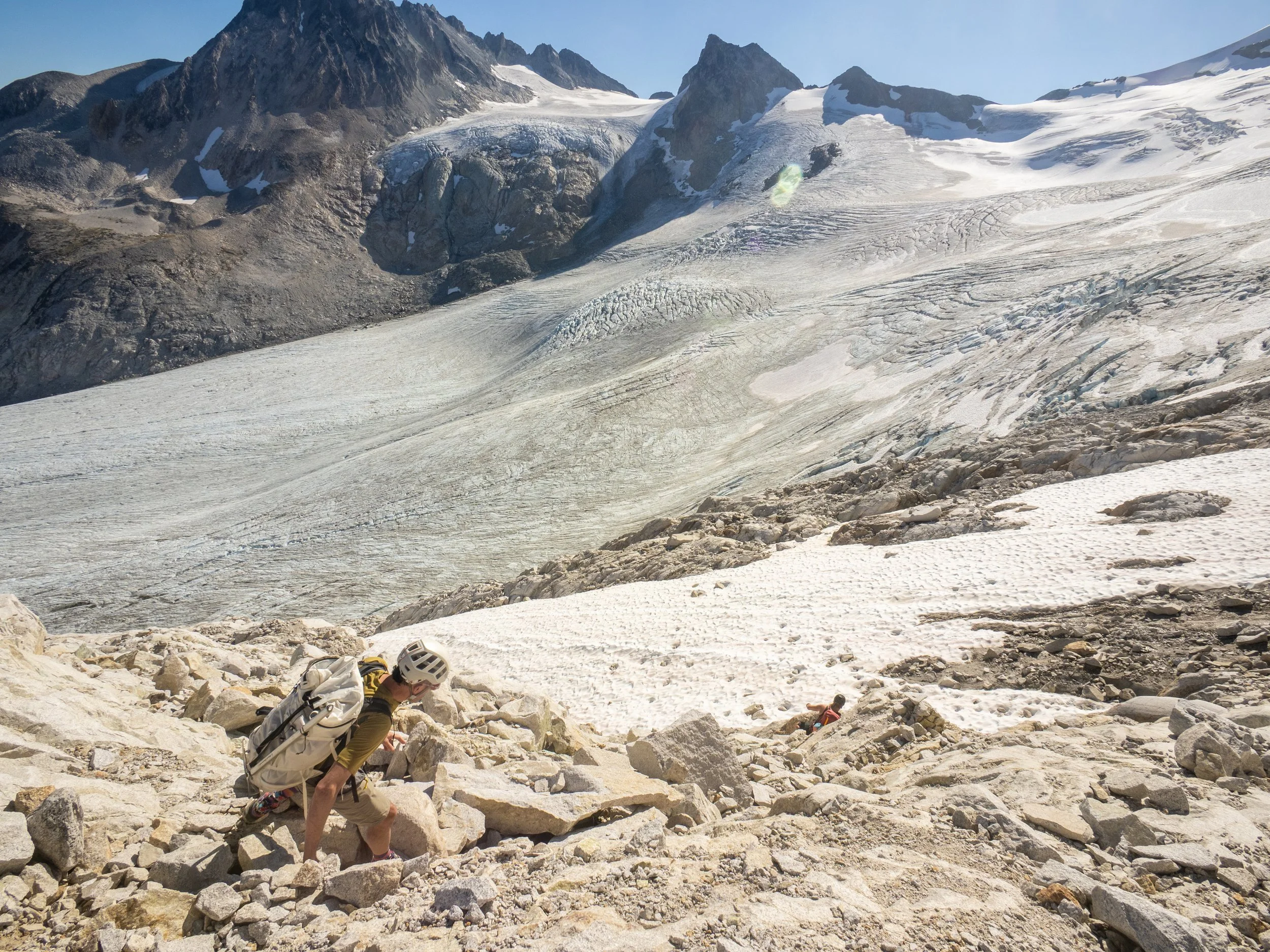
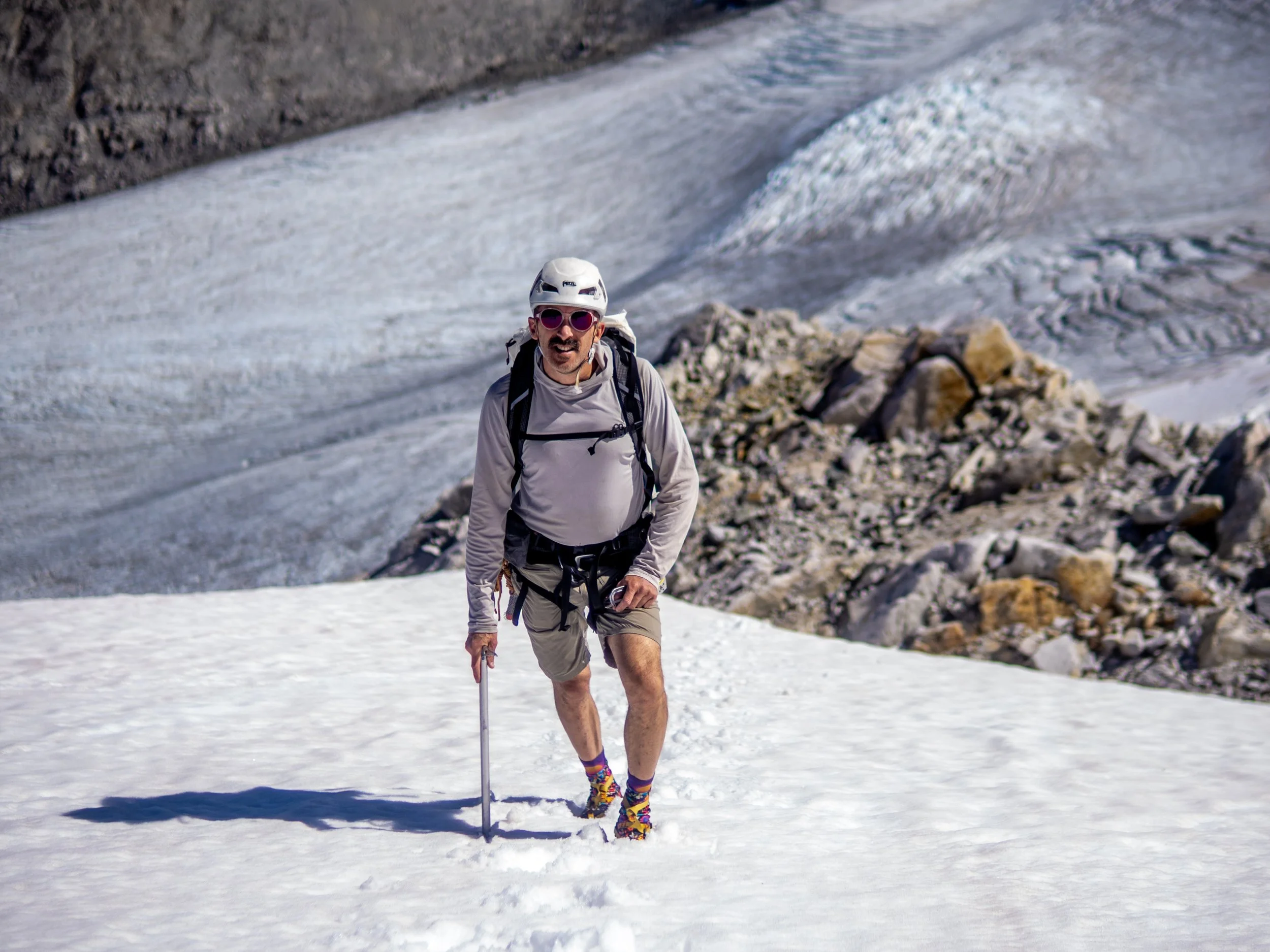
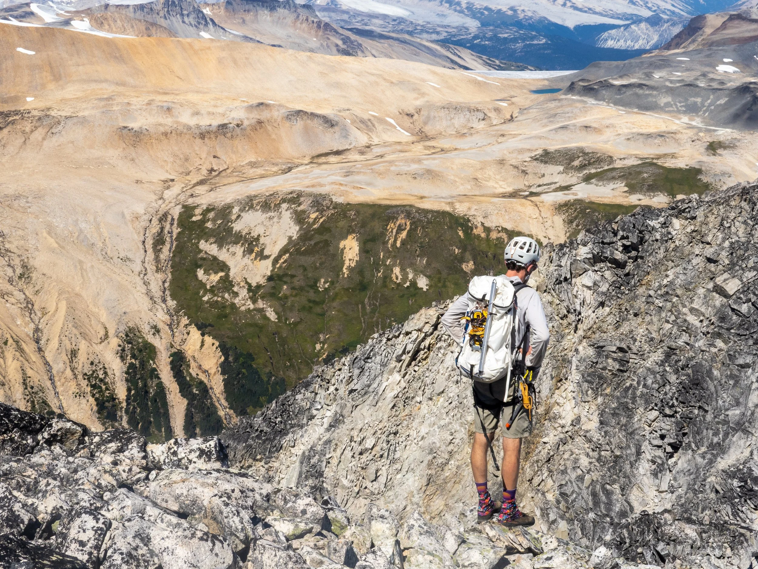
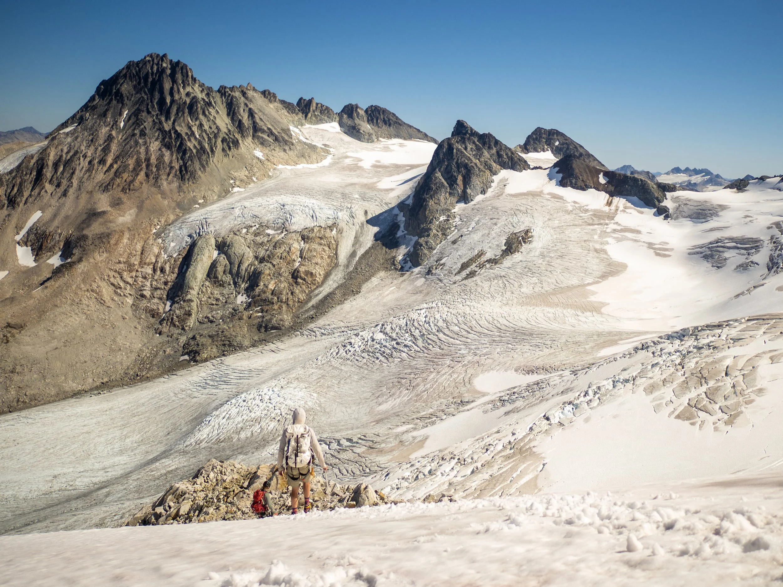
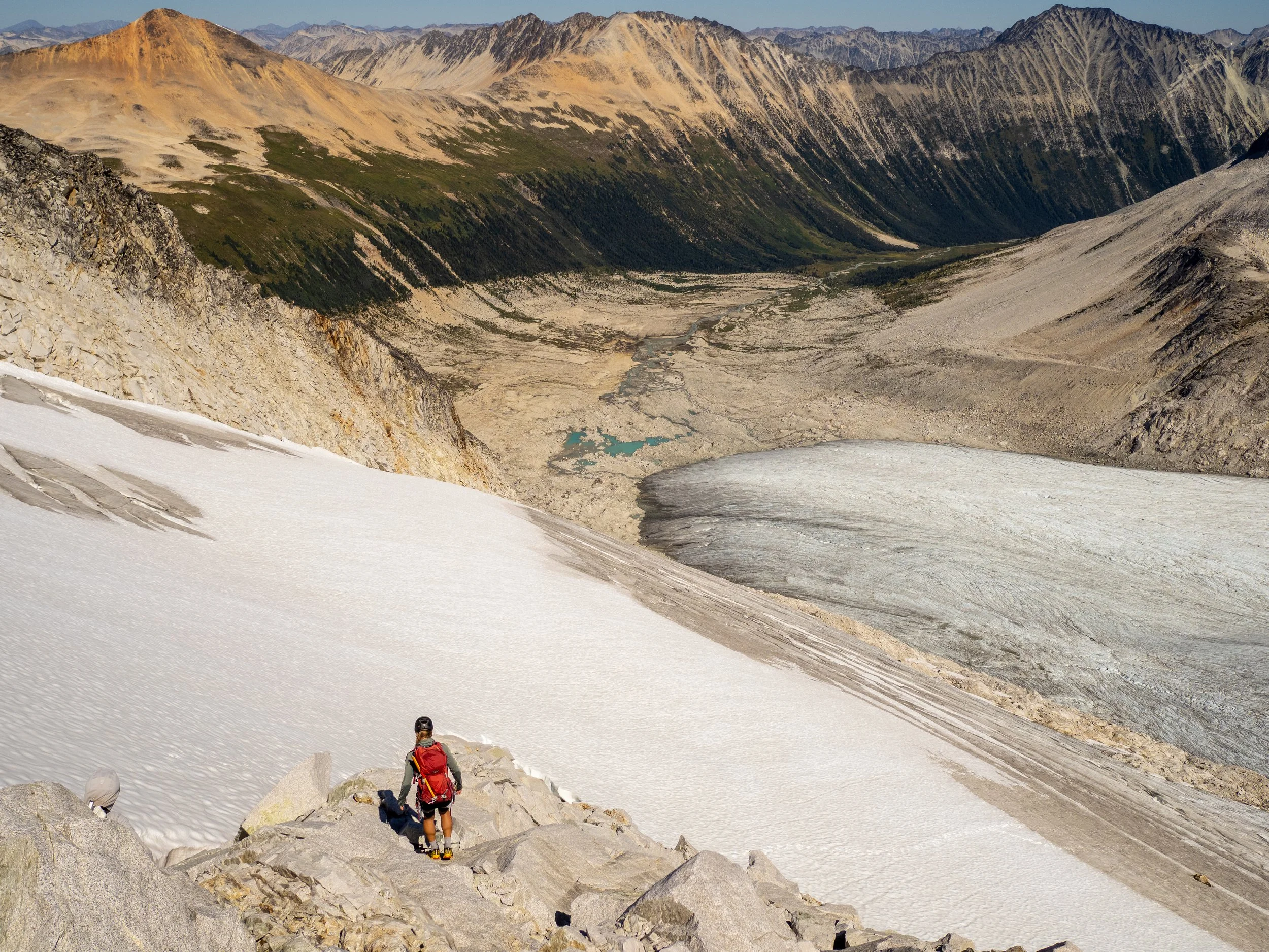
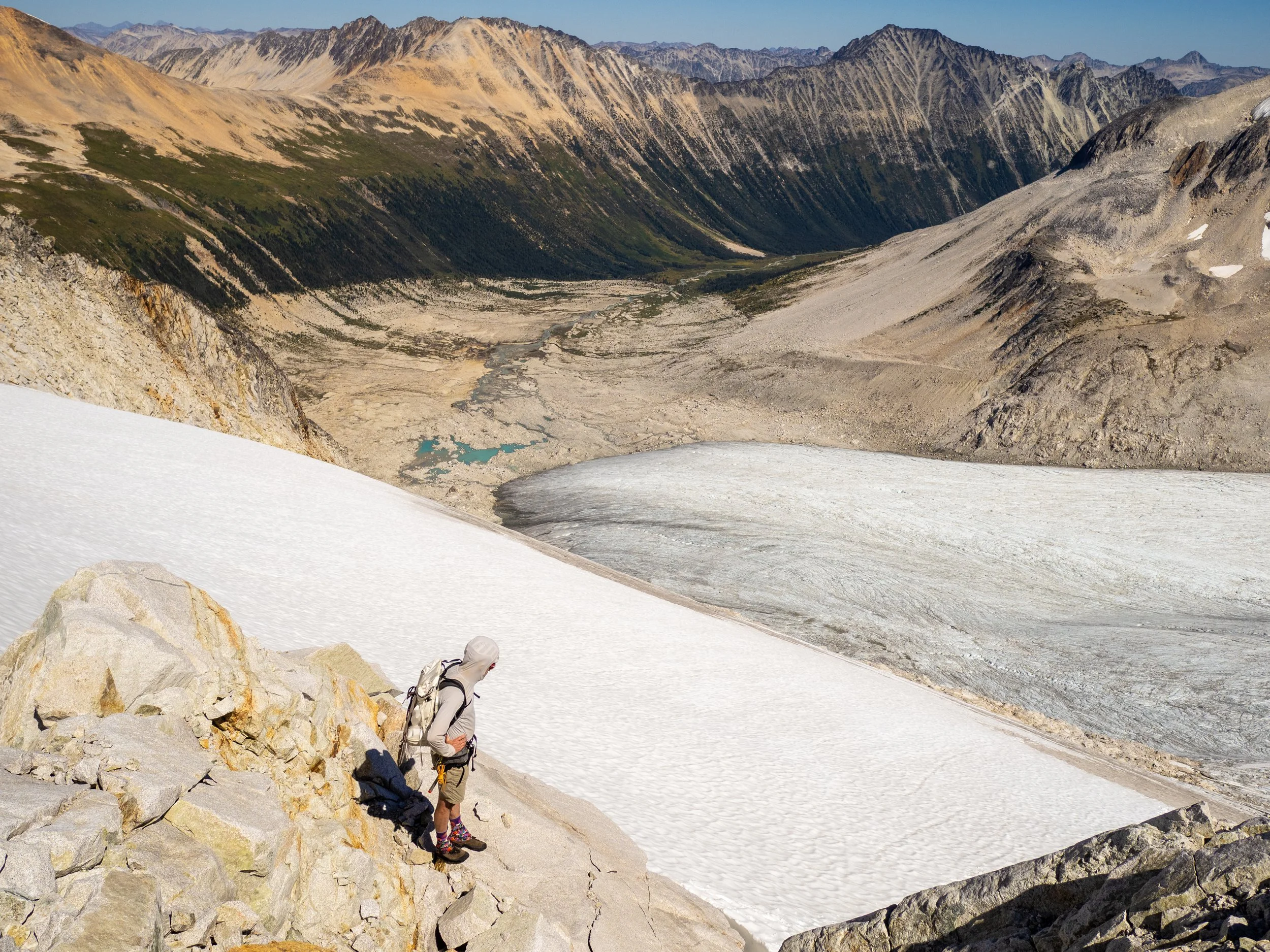
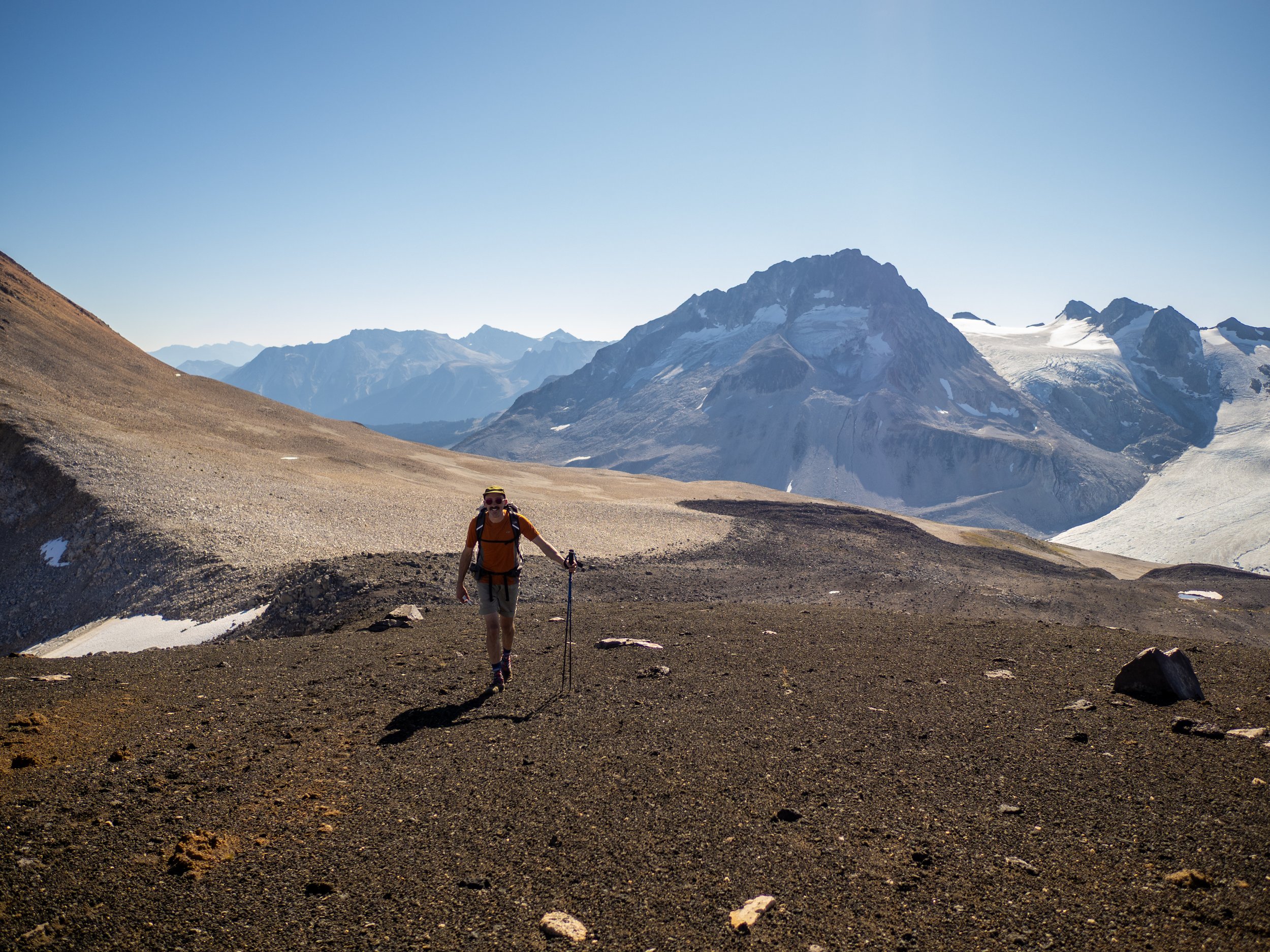
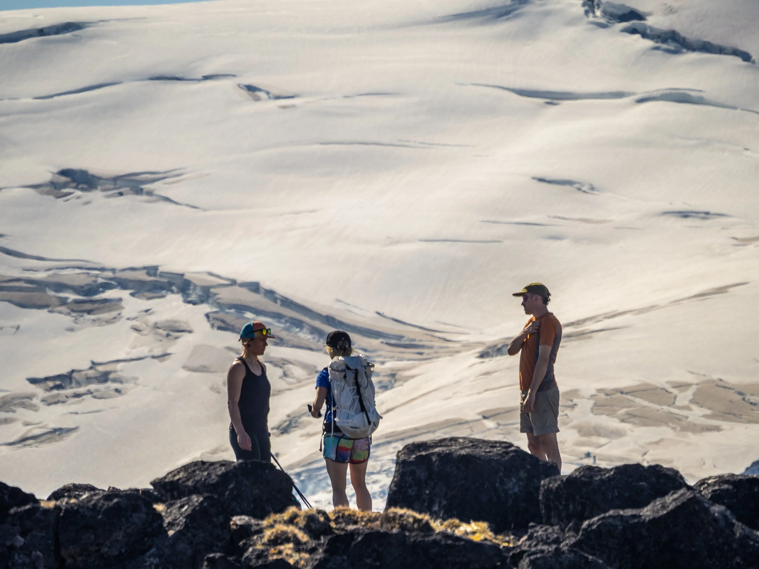
But Shan, Jem, and I had carried some glacier gear with us, and there were a few “easier” objectives of Mount Guthram and Icemaker above us, and so without any real drive of summit fever and alpine starts, meaning a nice casual relaxed morning, we set off to hop around on rocks and crawl on some snow with just enough moderate fear to make it quite interesting.
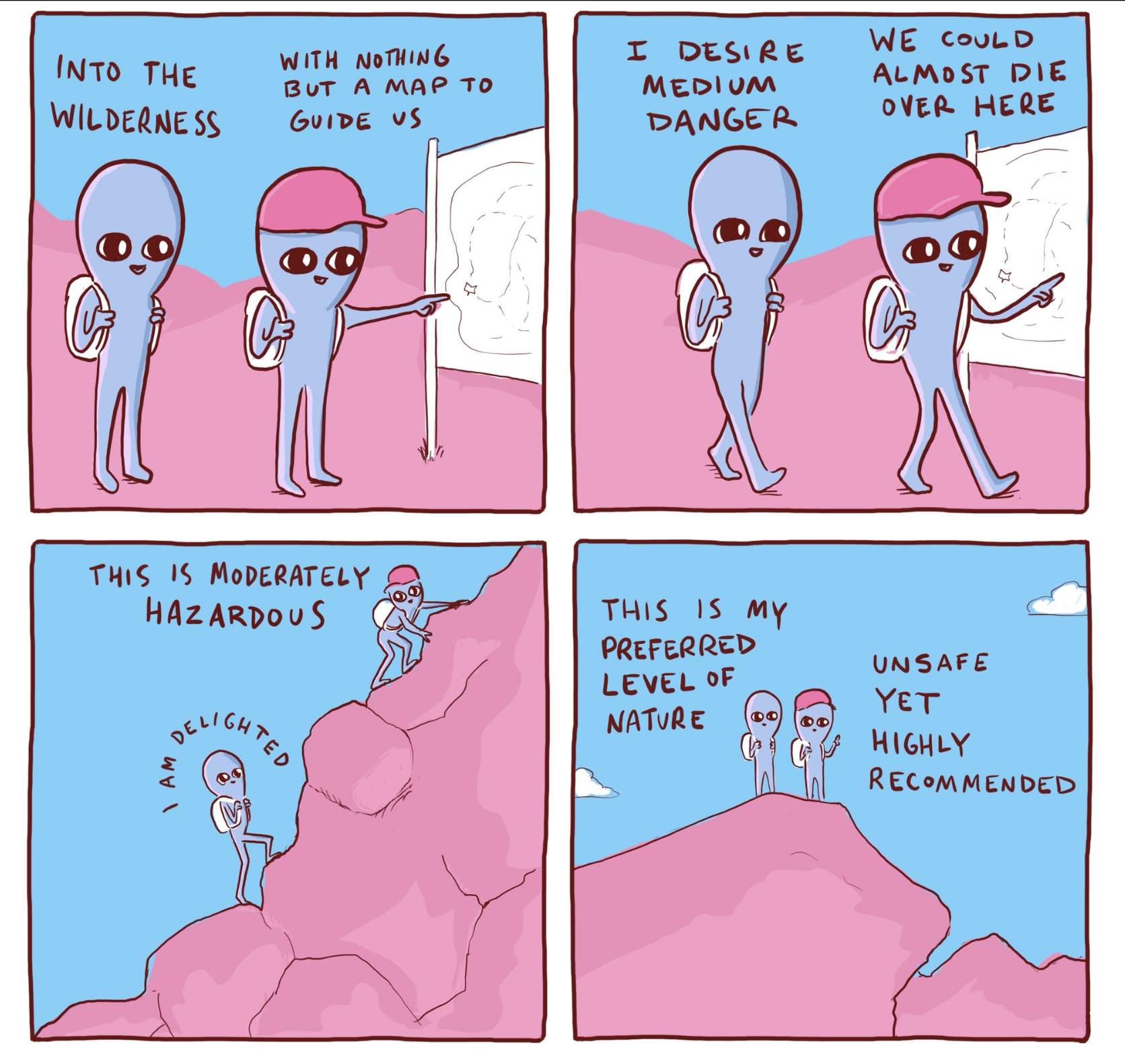
Shan had just shared this Nathan Pyle comic, which we actively quoted throughout our “moderate danger” activity.
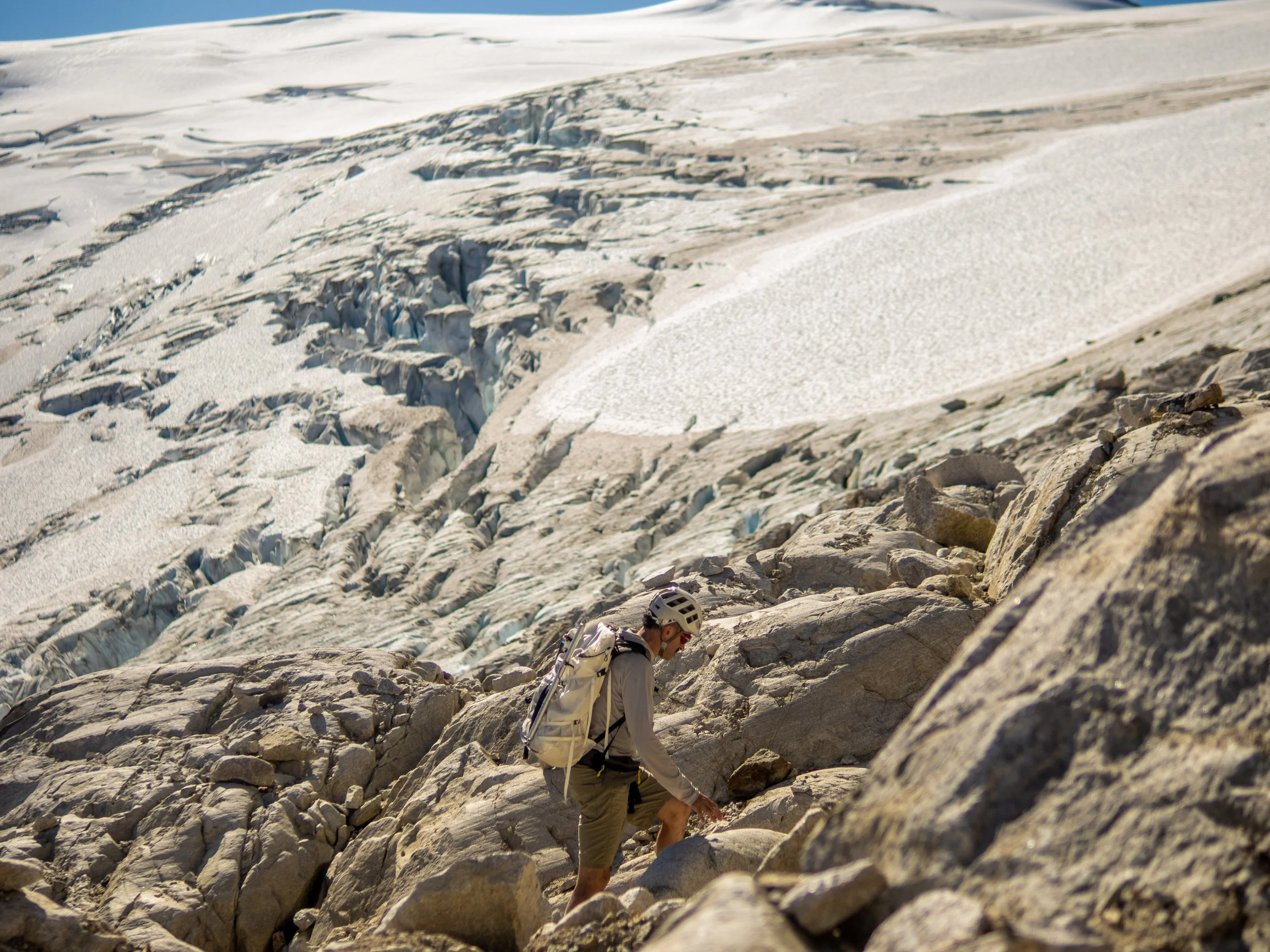
Icemaker Glacier looking rather hole-y. Definitely would have been the much faster and more efficient route if it wasn’t filled with cavernous crevasses!
Yep, those are some big holes!

Unsafe yet highly recommended!
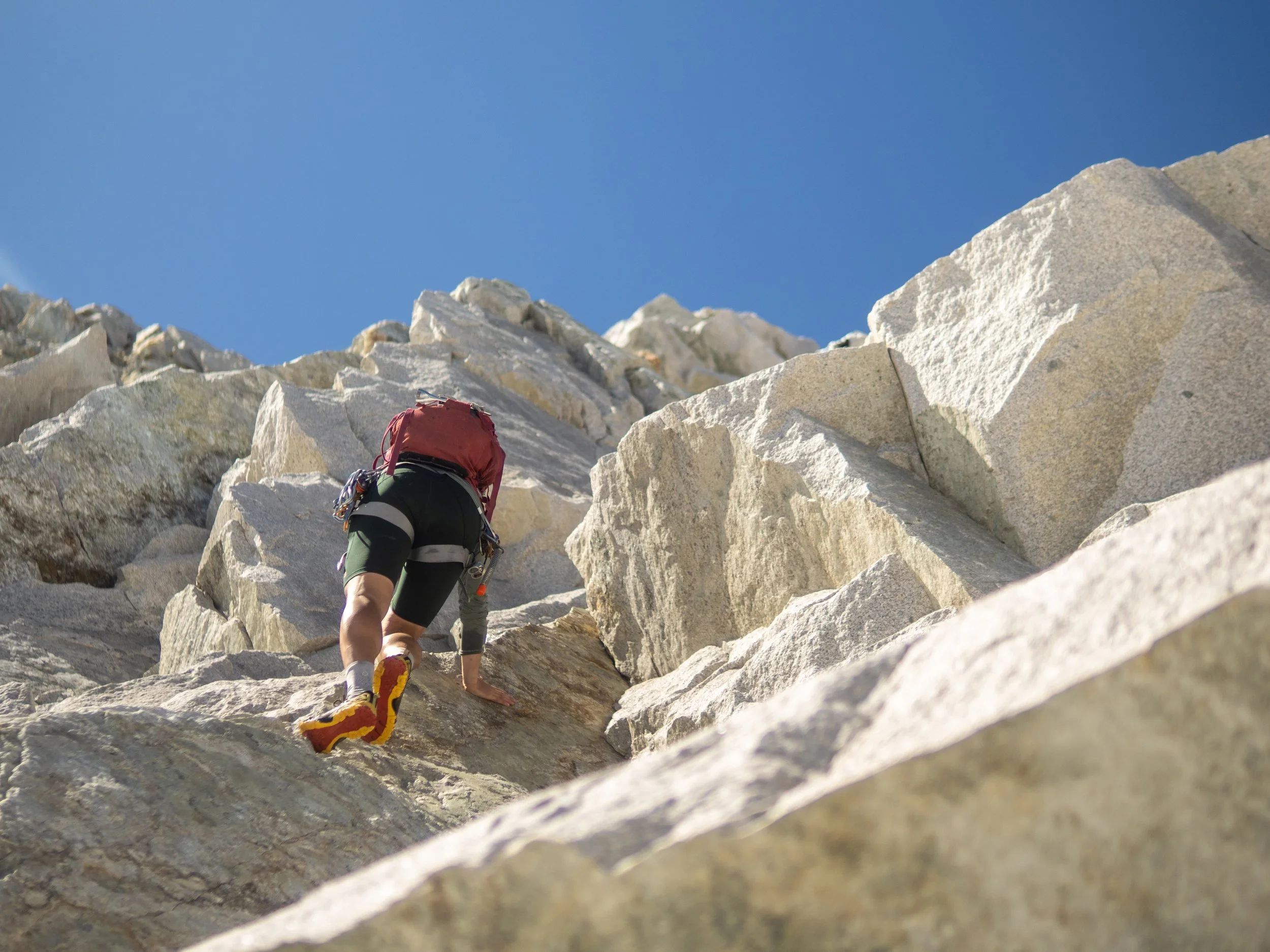
A few sections of quality alpine granite scrambling kept the enjoyment up
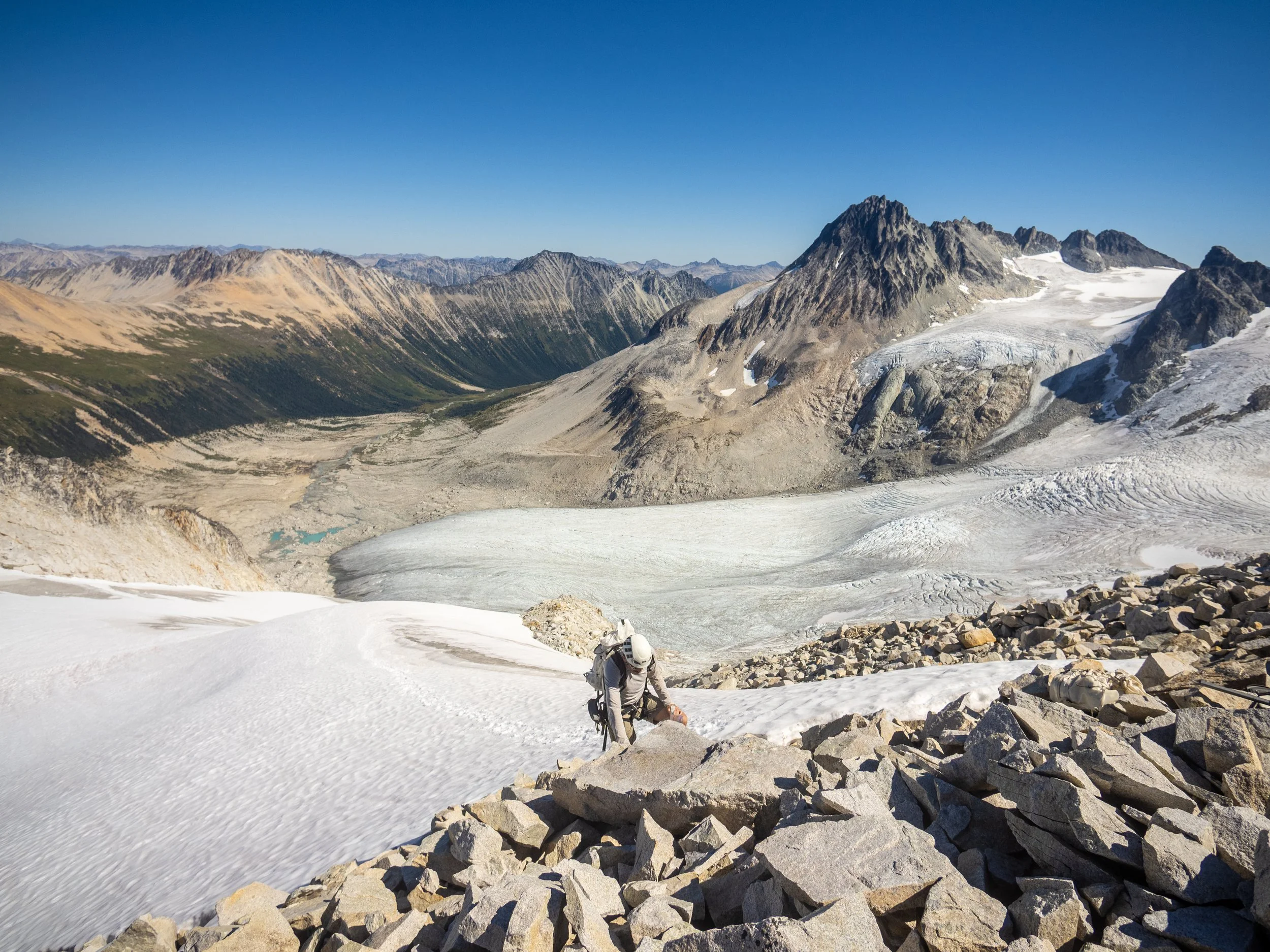
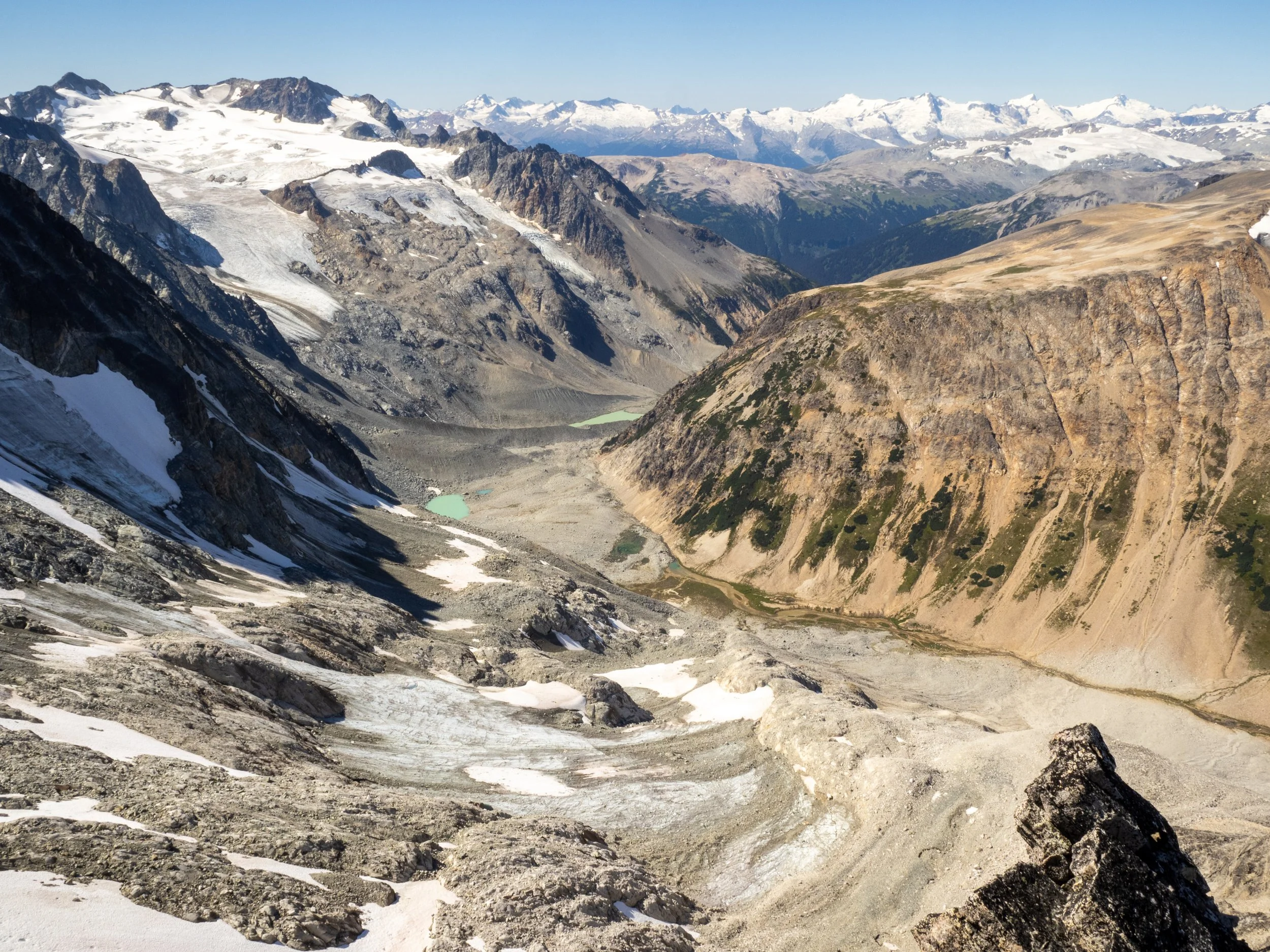
We reached this sub-summit of Guthram, and realized we’d gone too high to get to the summit without traversing a very sketchy looking knife edge ridge. So to continue to any objectives, we would have to descend the last section of glacier, cross another one, jump across a rather large looking moat to regain the rock, and then… who knows!
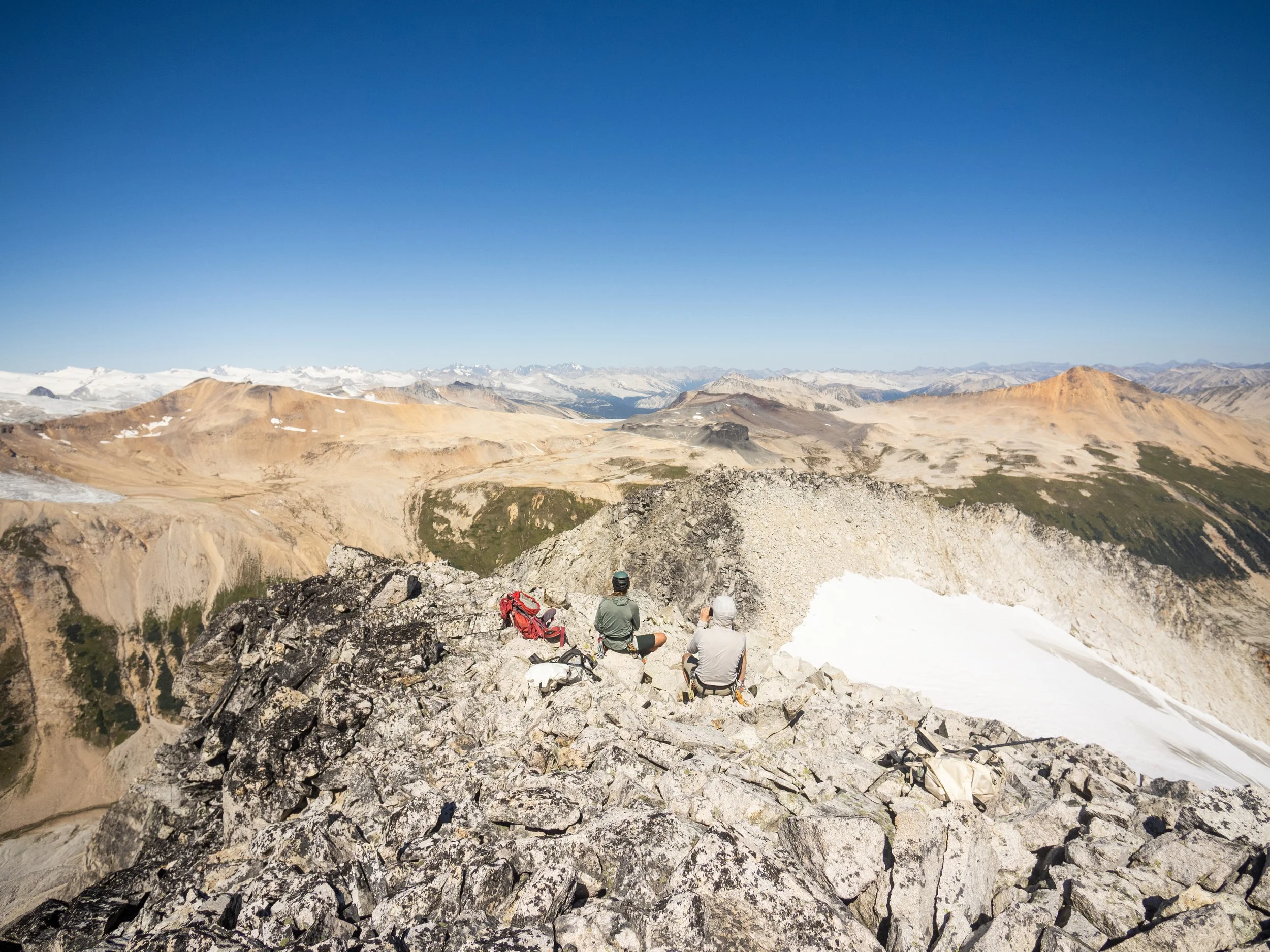
As we were very non objective-y we all easily agreed that this was an extremely pleasant location for lunch, sat and enjoyed the views and some snacks (really it’s all about the snacks anyways), before delicately retracing our steps back down the blue ice glacier to the talus slopes and onward back to camp, hopefully in time for cocktail hour at the beach.
Looking at the route from yesterday up from Salal Creek
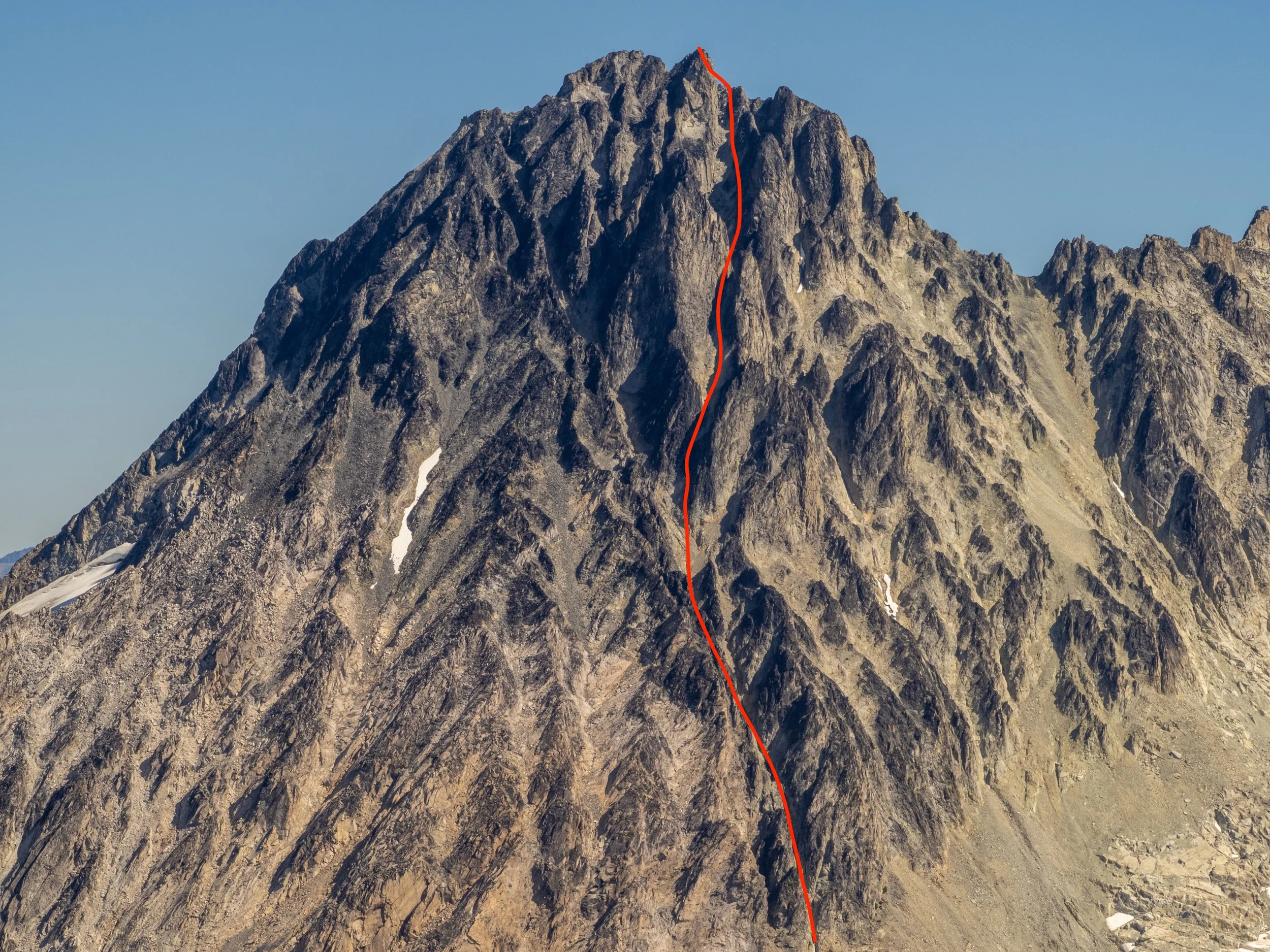
The route up Etherweard from across the valley. Described as a Class 4 scramble… May be above “moderate danger”
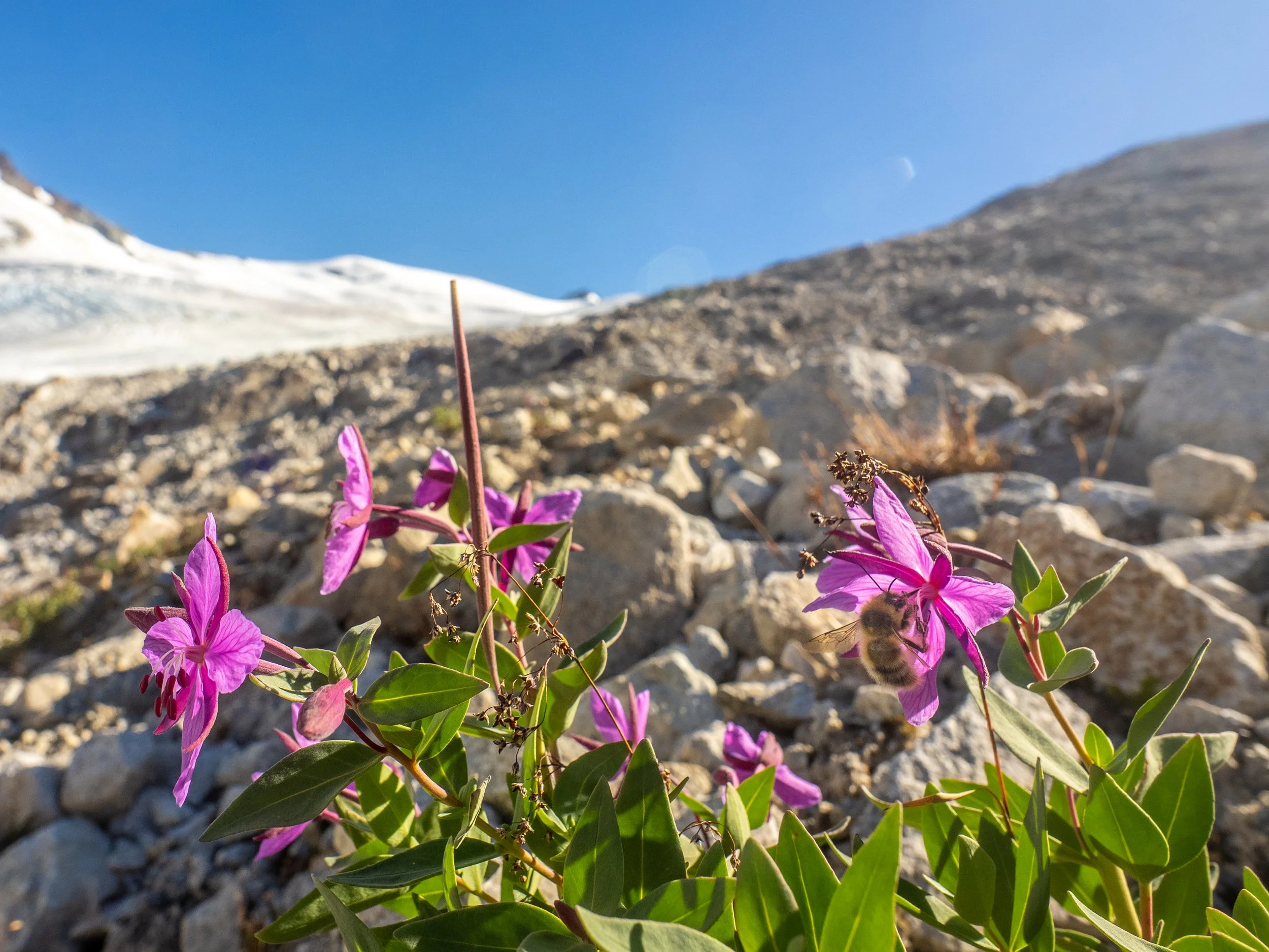
“The Elephant”, a very cool volcanic feature above camp on the west side up towards Mt. Ochre that we would investigate the next day
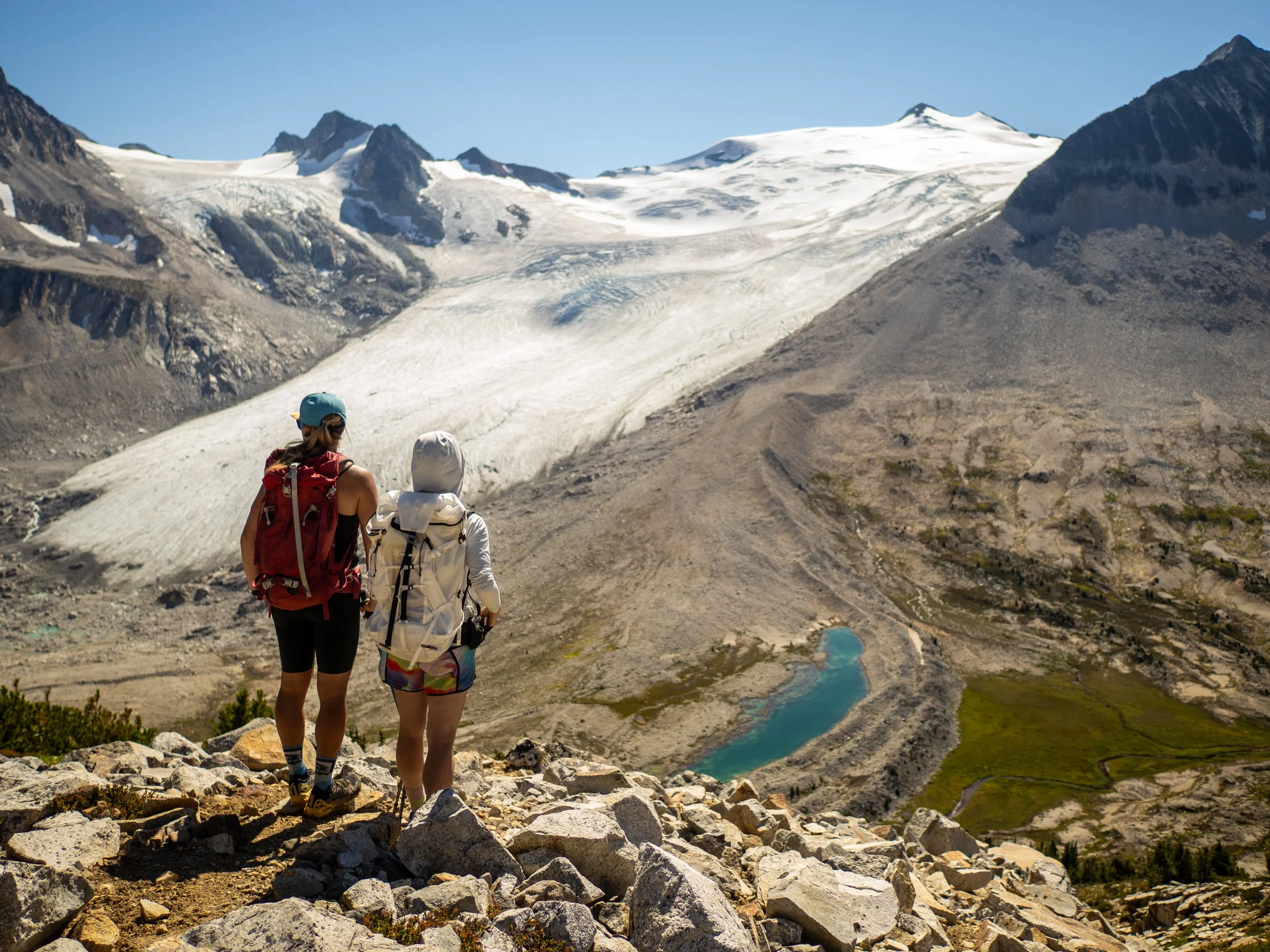
Looking west up towards the edge of the massive Lillooet Icefield, one of the largest in BC
“We Could Almost Die Over Here”
Icemaker Glacier and Etherweard
Medium Danger
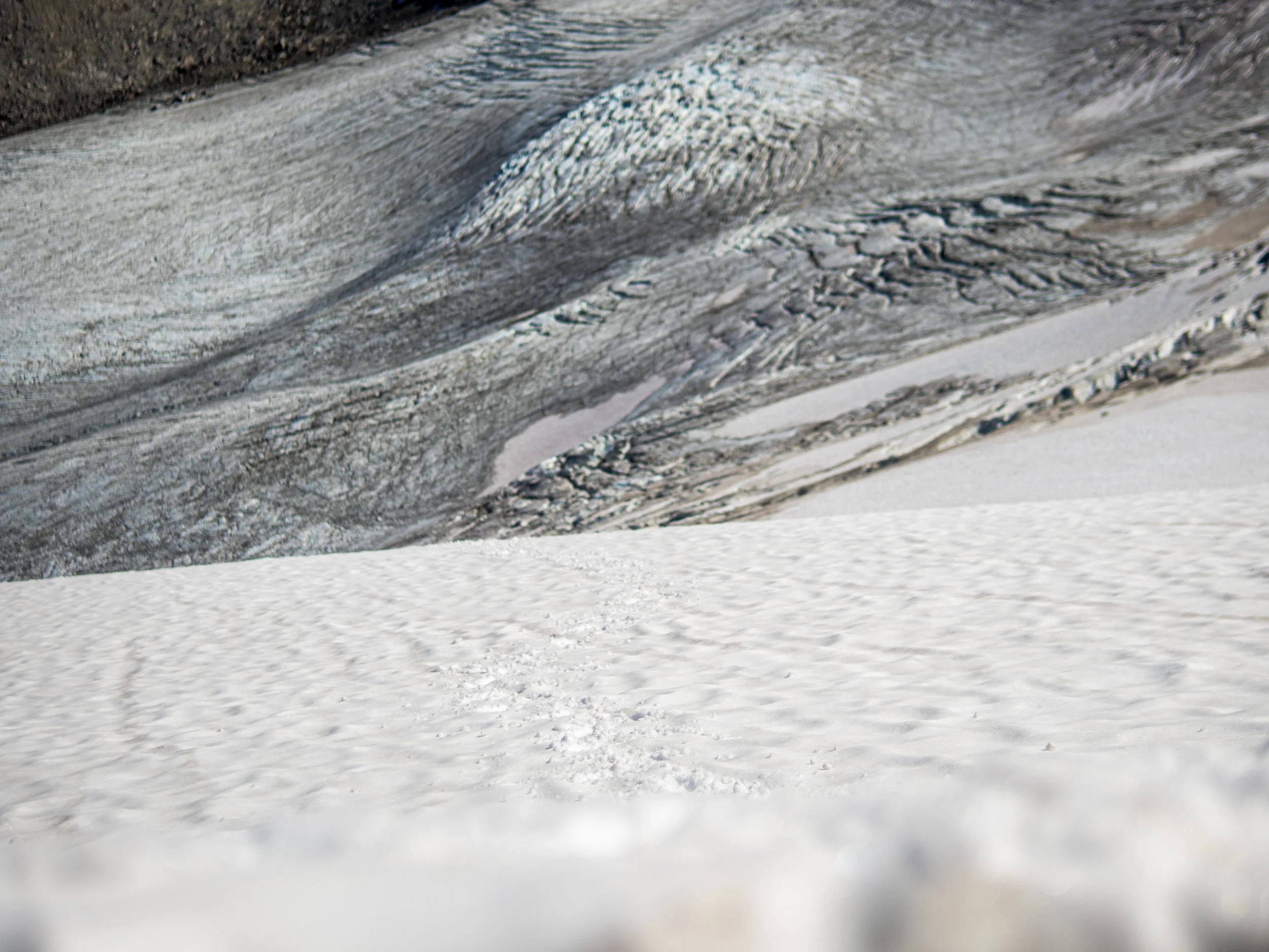
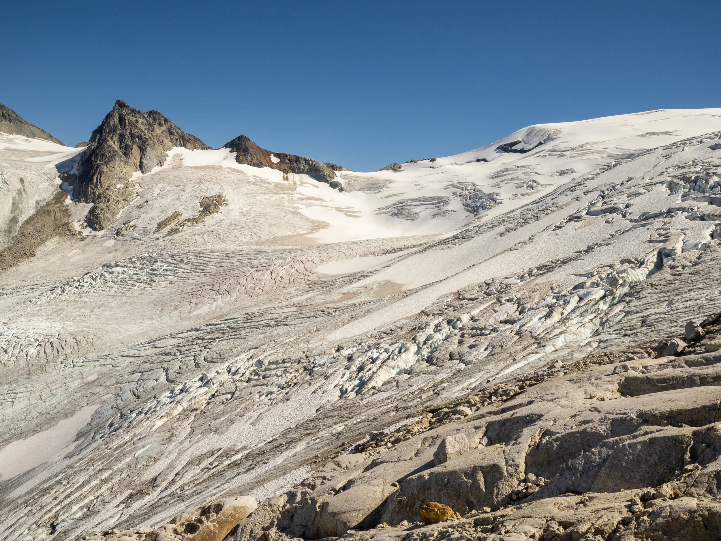
Cool to see the terminal line of the extent of the Icemaker Glacier clearly defined across the valley. Insert gloomy comment about climate change and receding glaciers here.
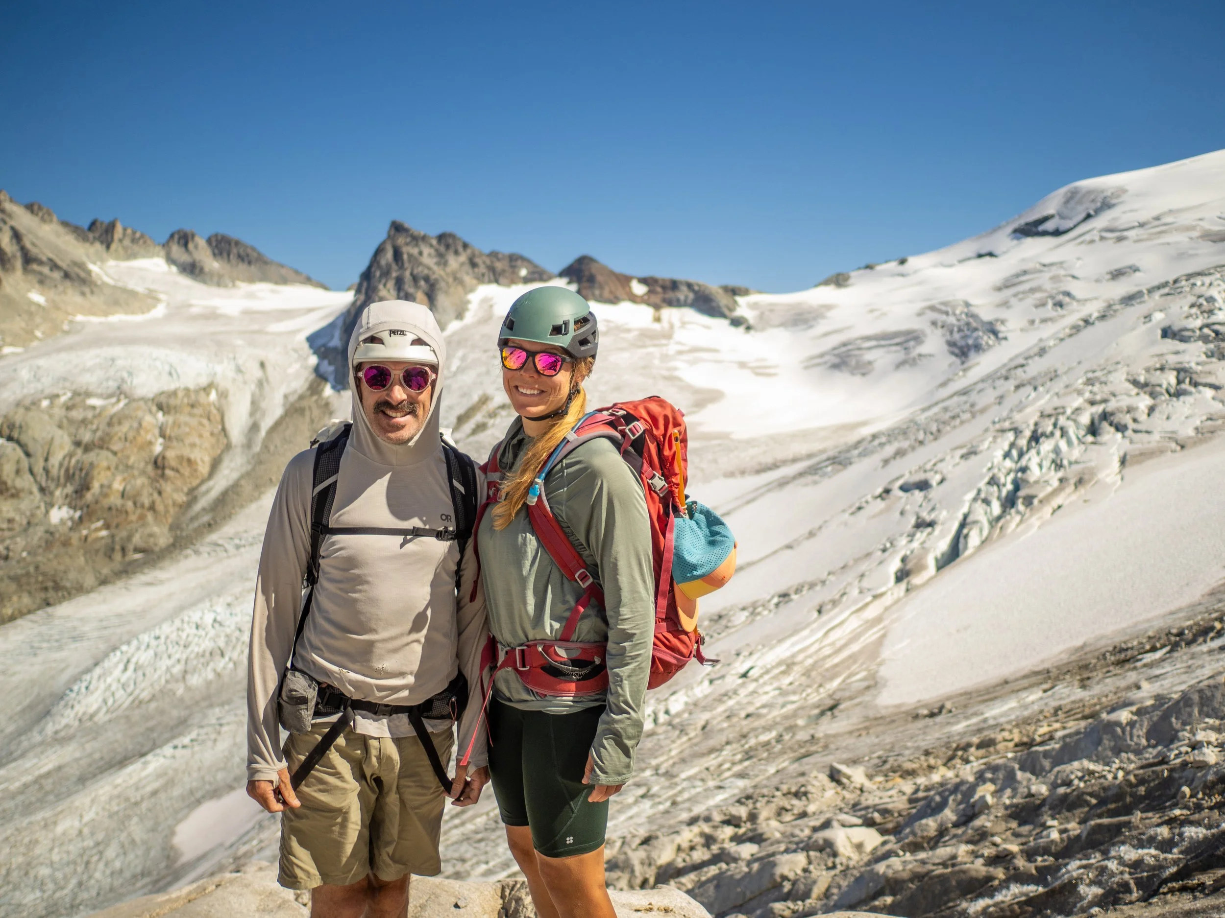
Two people enjoying their “preferred level of nature”
Looking back down to camp at the lake.
We arrived back at camp almost simultaneously with the rest of the crew, who had explored the west side and had stood on the “Elephant” roughly the same time we were looking down on it. We shared stories, had some laughs, smashed down as much calories as we could, and caught a bit of the epic star show once it got dark.
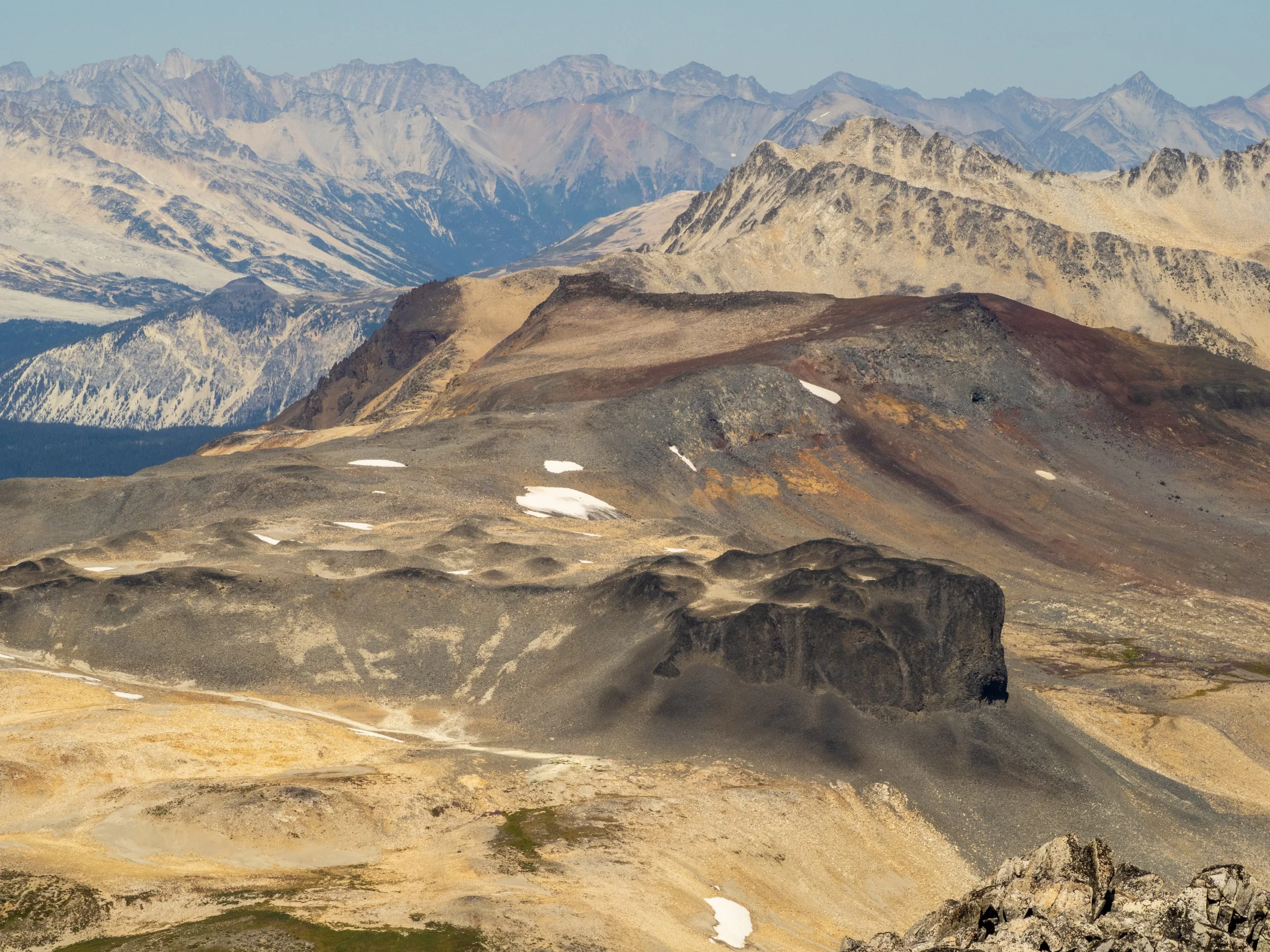
We talked the crew into heading back up to the west bench above camp near to explore more of that area, which was strikingly different from the east, with gentle rolling slopes, loose volcanic rock, and a wild diversity of colours and tones of the soil and rock, making for a surreal, almost alien landscape.


“The Elephant”
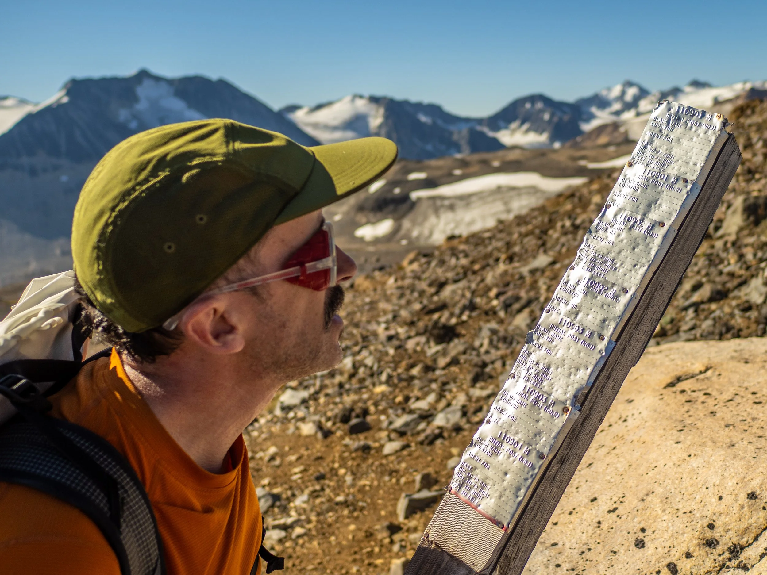
120 year old mining claims found discarded up on the upper ridge
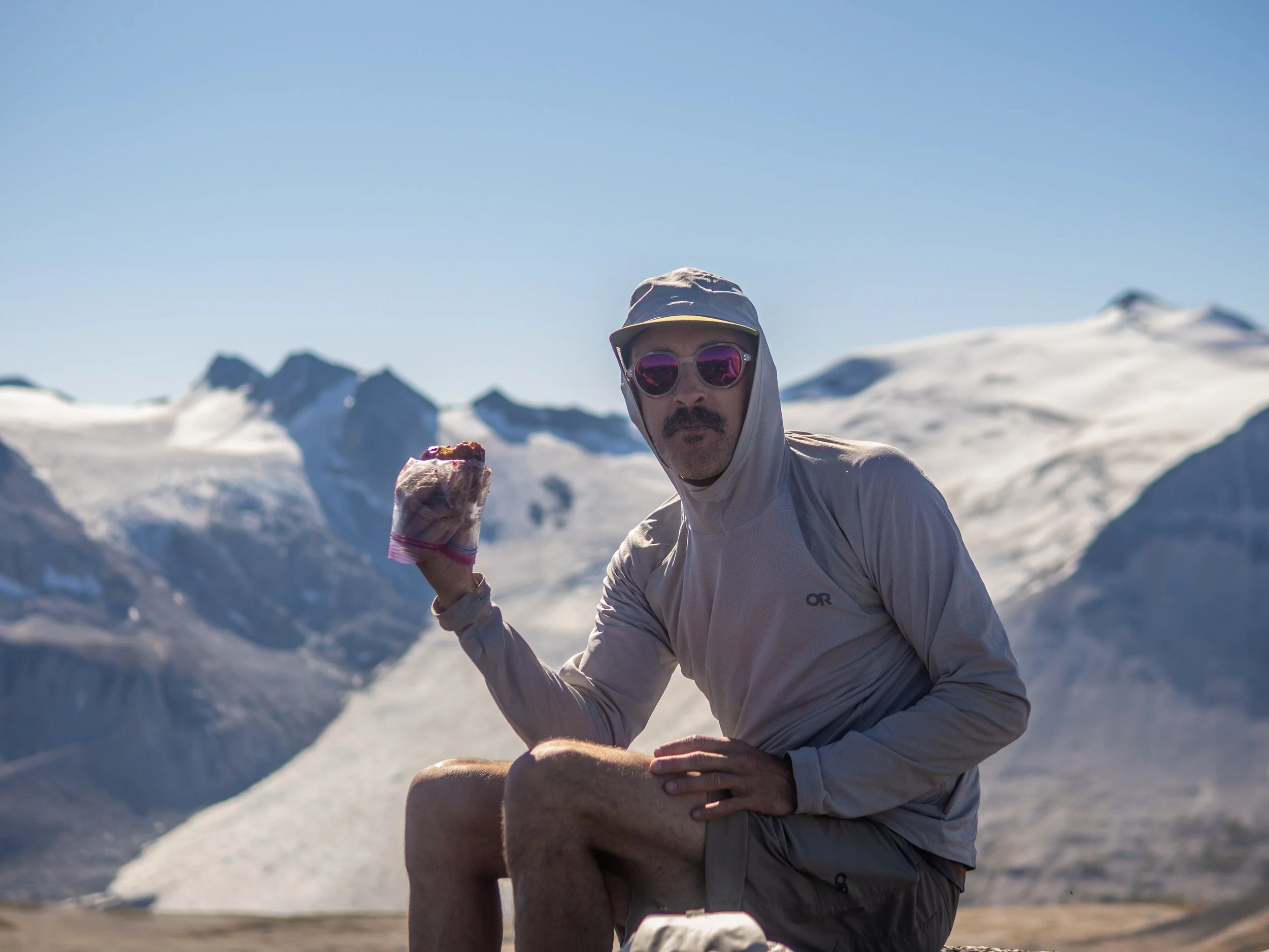
“It frits!” Jem flexing his Save-On Foods apple fritter game, which he puts in the same ziplock baggy as a PB+J, leading to the high pressure of a stuffed backpack physical fusing the two top shelf snacks into one uber snack.
Looking back towards Icemaker, with Guthram up on the right
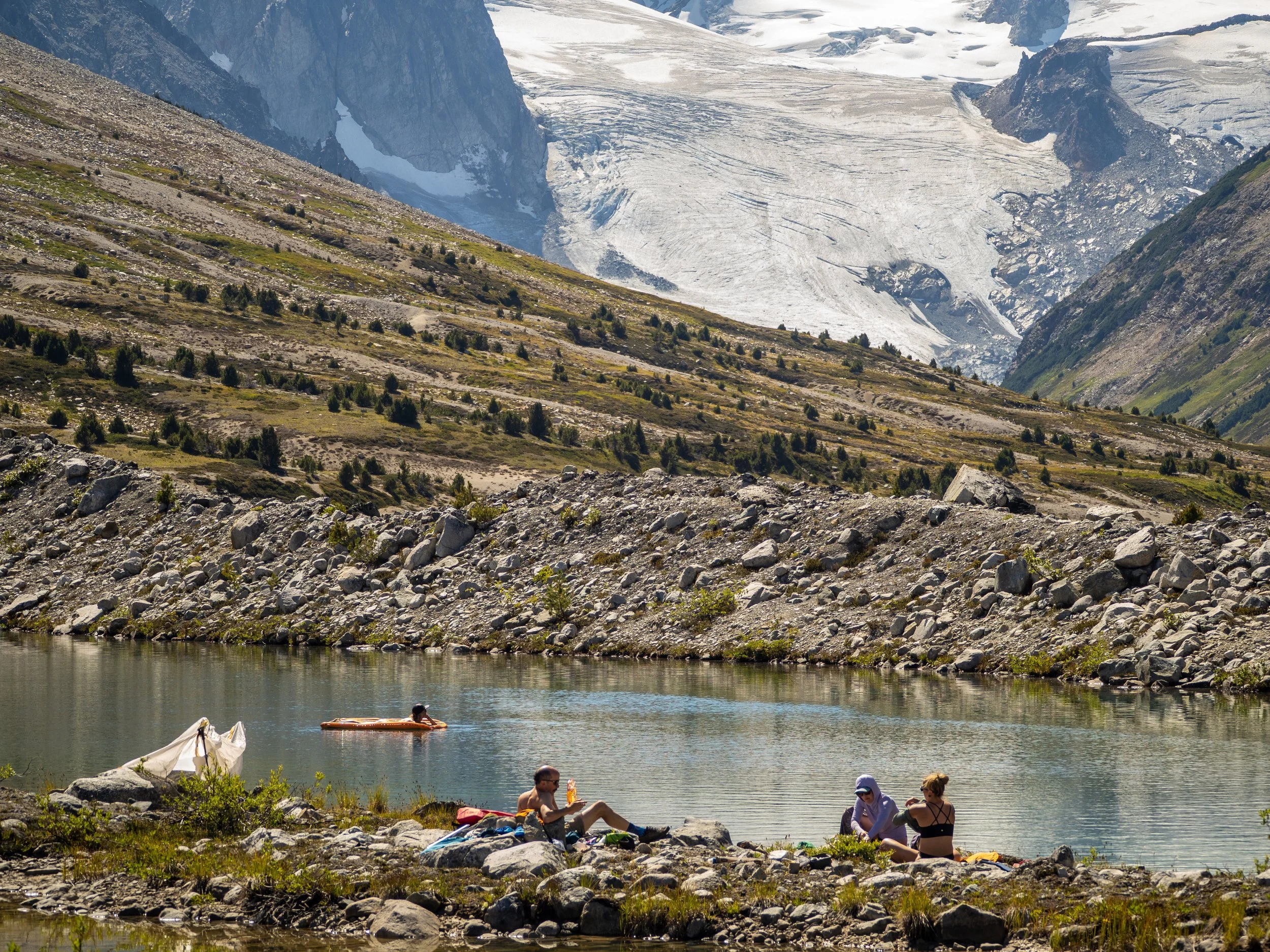
We intentionally picked a straightforward half day mission, as the crew was super keen for an epic lake day party in possibly the most beautiful floaty lake you can find!


We did not pick a particularly shady spot, so the UV-sensitive among us had to go to work making their own. Fortunately, building shade structures comes second nature to Burners.
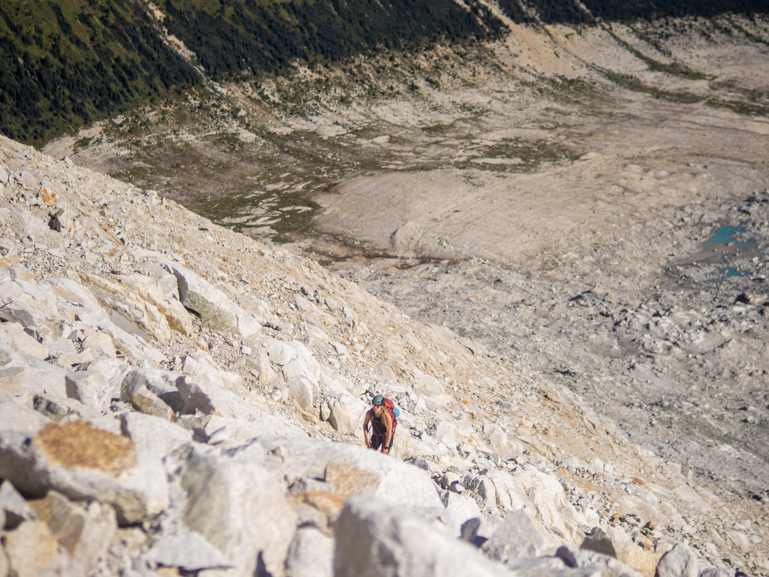
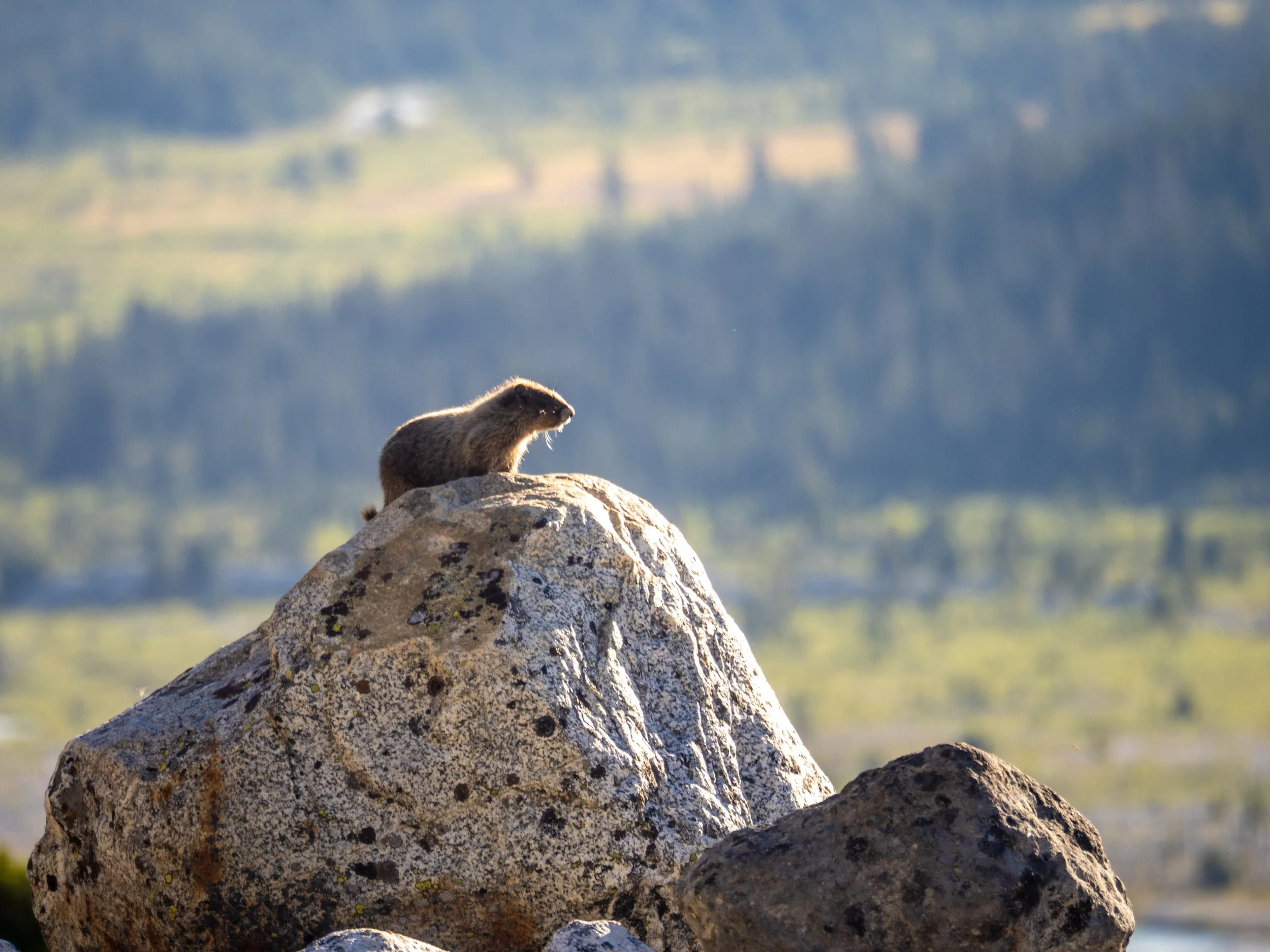
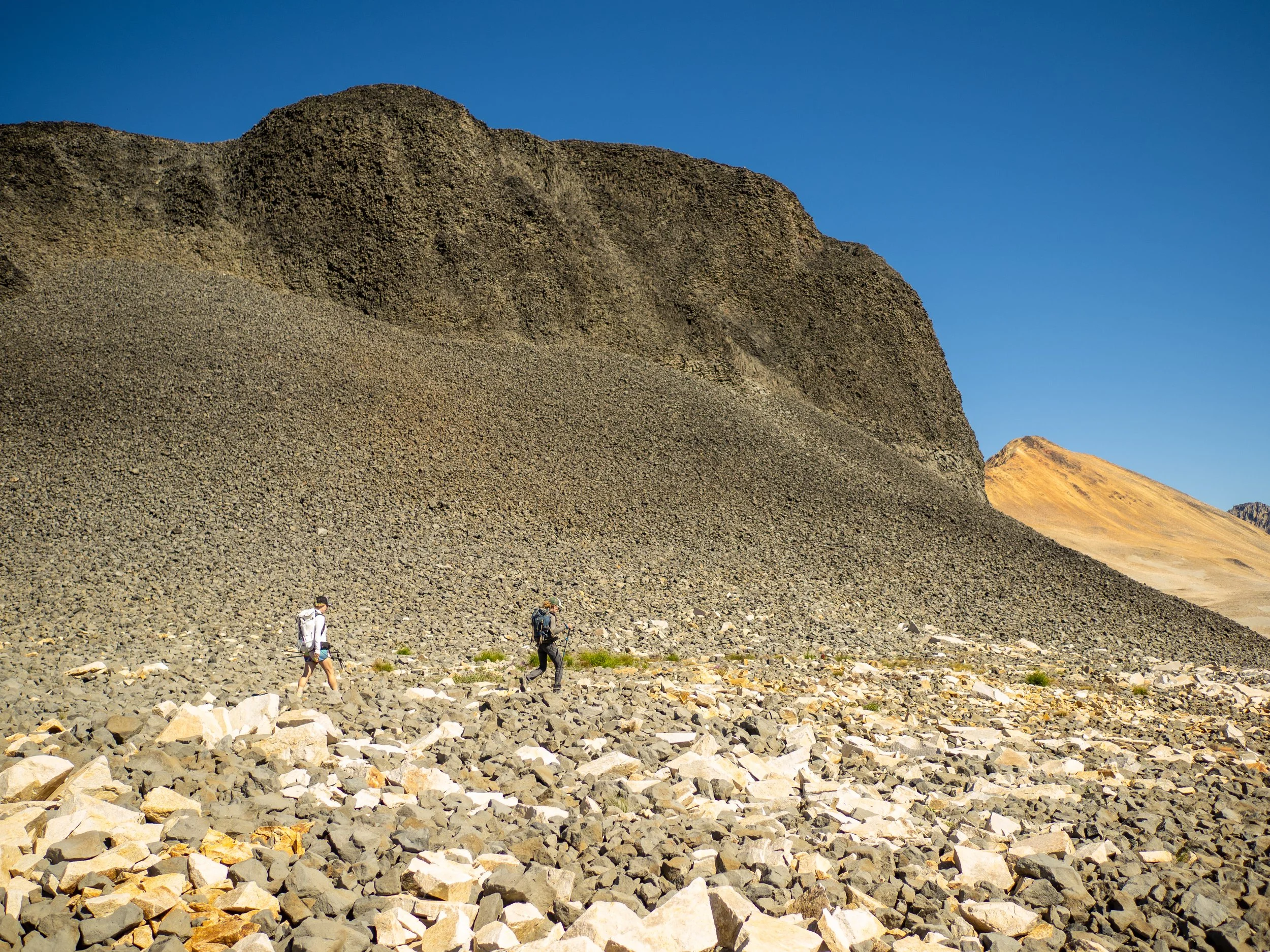
If you can spot Jem in this photo, I’ll be very impressed. We made him, wearing his all light grey getup, walk out into the boulder field and I snapped this ultra wide angle shot, with plans to make it into a “where’s Waldo” type book series some day.
Seriously, good luck!
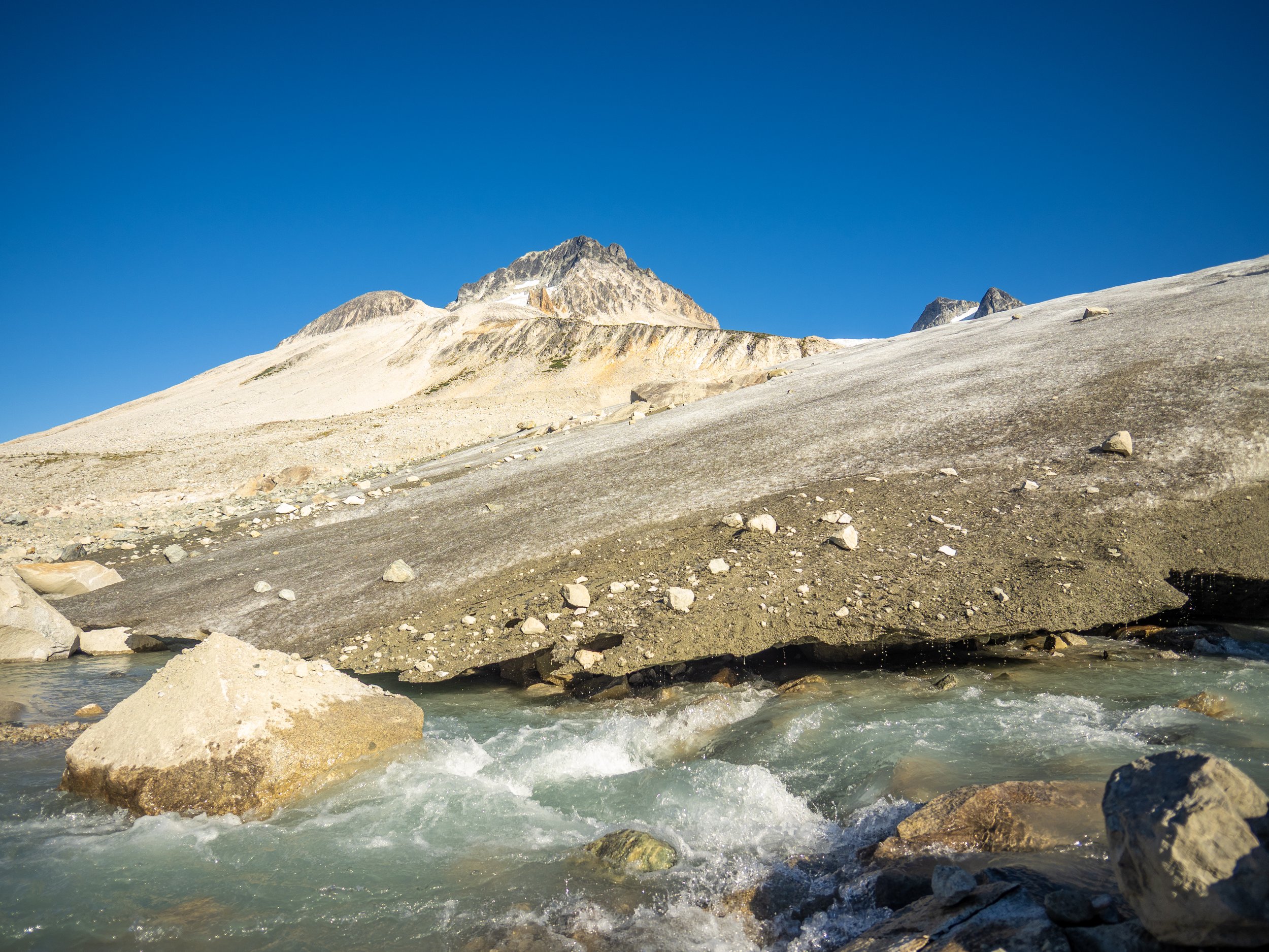
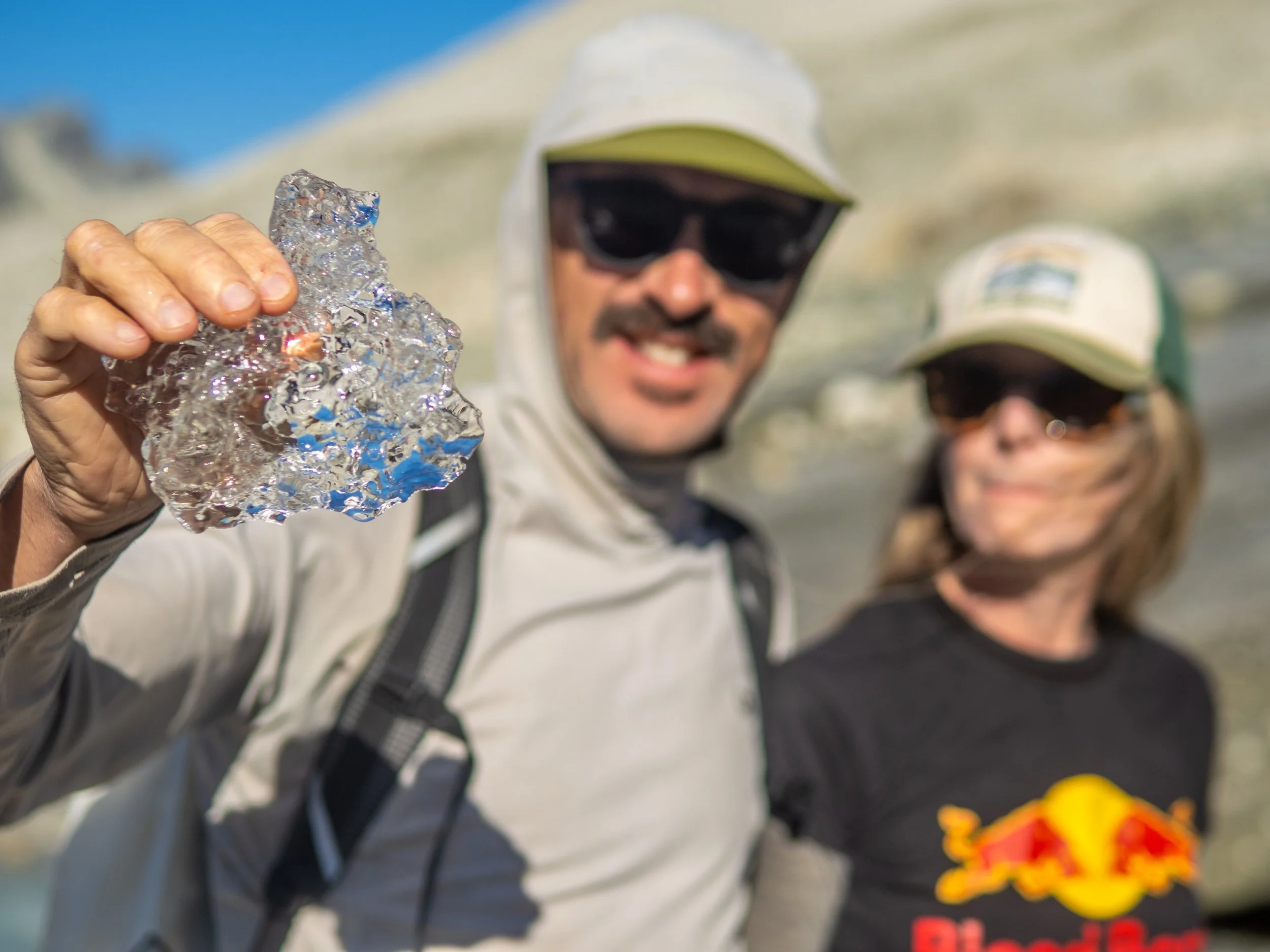
The toe of the Icemaker Glacier. We ventured over to collect cocktail ice which helped take the edge off my sun warmed tequila.
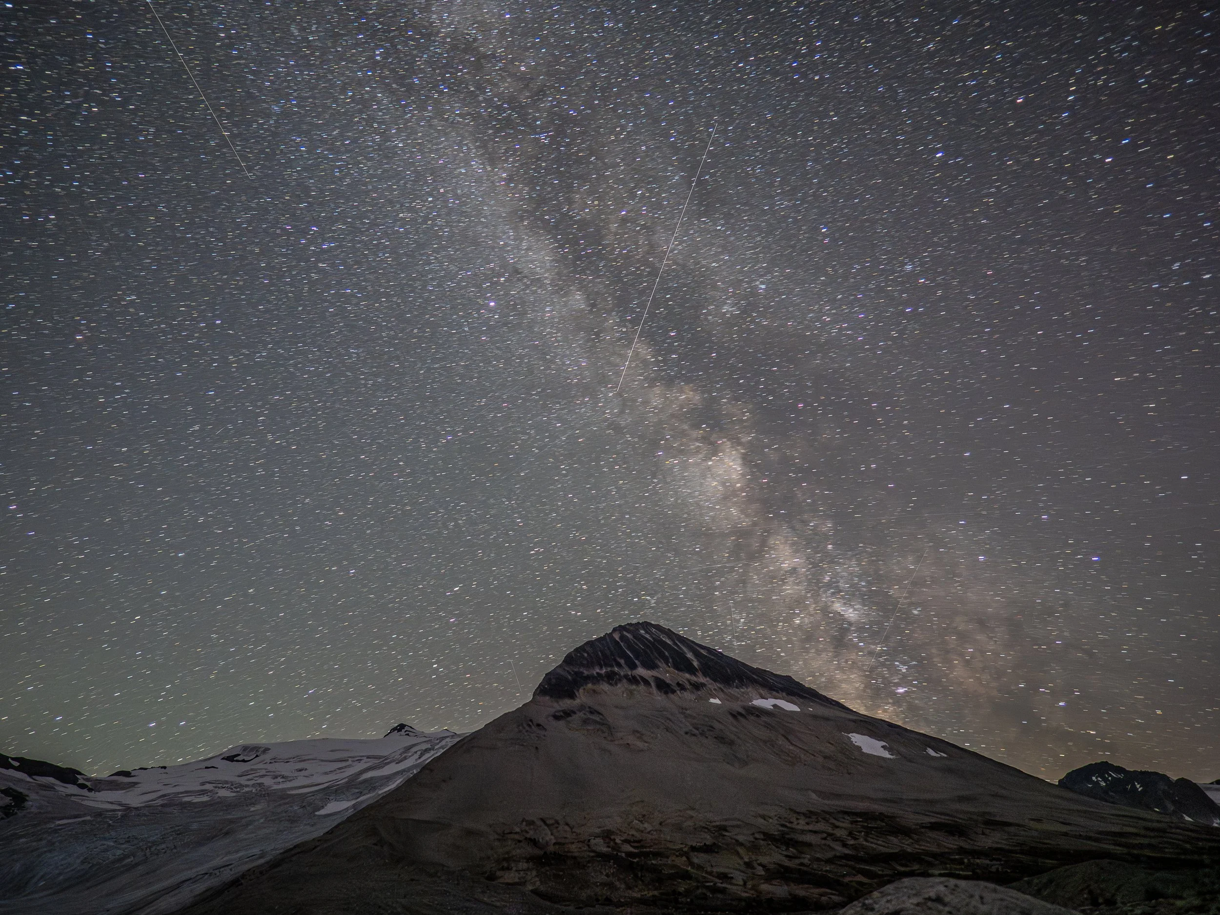
The night shots didn’t really turn out, as I need to spend a bit of time familiarizing myself with how my new Olympus camera works for the optimal long exposure shots. Needed a shorter shutter speed to avoid the blurry stars, but the Milky Way’s galactic core is always cool to see.
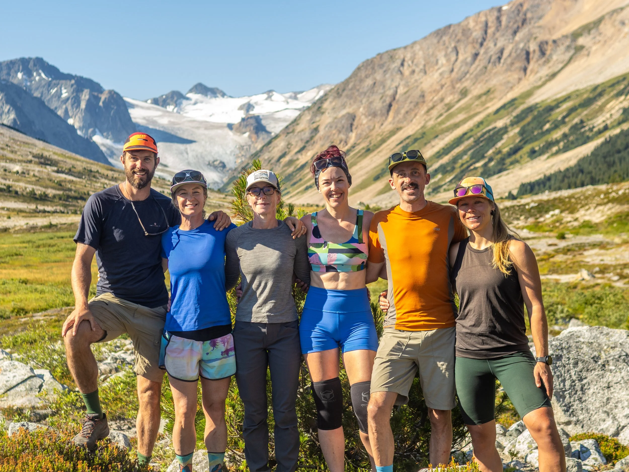
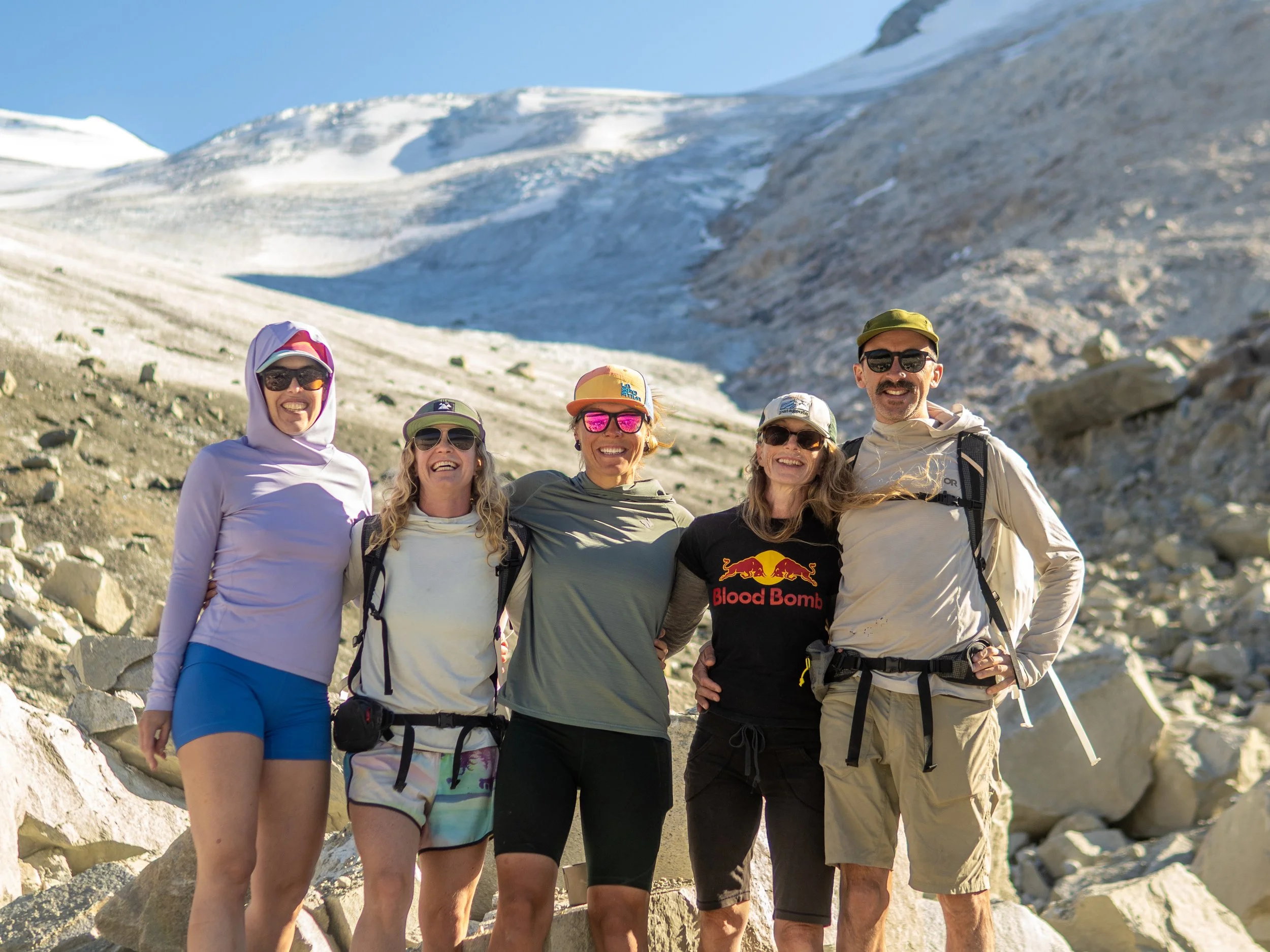
The crew!
The exit took about as long as the walk in, but with the long slow descent, it was fairly painless. Even the dense forested section, mildly infuriating on the way in, felt a bit easier after the unwinding of the previous few days.
Back at the truck, we floated on a post trip high, enjoying refreshing stream cooled beverages and salty chips, not quite ready to dive straight back into the whitewater. The messages, the todo list, and the Monday meetings could stay upstream a little longer while we bumped slowly down the dusty road back to civilization.
Athelney Pass lives on as that memory of quietly spinning under the majestic mountains, drifting on the edge of the world.